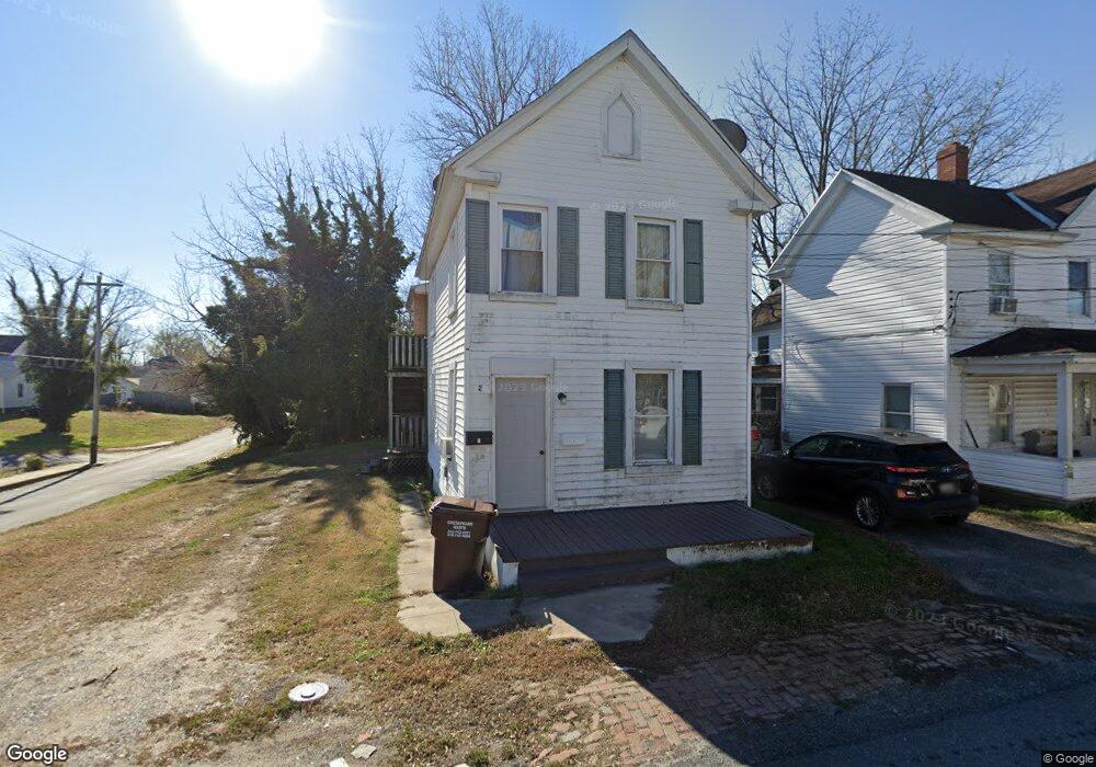
400 Light St Cambridge, MD 21613
Estimated Value: $61,000 - $128,000
Studio
1
Bath
1,470
Sq Ft
$70/Sq Ft
Est. Value
About This Home
This home is located at 400 Light St, Cambridge, MD 21613 and is currently estimated at $102,932, approximately $70 per square foot. 400 Light St is a home located in Dorchester County with nearby schools including Maple Elementary School, Mace's Lane Middle School, and Cambridge-South Dorchester High School.
Ownership History
Date
Name
Owned For
Owner Type
Purchase Details
Closed on
Mar 11, 2021
Sold by
Spedden Land Company Llc
Bought by
Mullaney Conor M
Current Estimated Value
Home Financials for this Owner
Home Financials are based on the most recent Mortgage that was taken out on this home.
Original Mortgage
$50,000
Outstanding Balance
$44,844
Interest Rate
2.73%
Mortgage Type
Purchase Money Mortgage
Estimated Equity
$58,088
Purchase Details
Closed on
Jun 15, 2015
Sold by
Era Beverly Louise Spedden and Spedden Wallace David
Bought by
Spedden Land Company Llc
Purchase Details
Closed on
Apr 20, 2015
Sold by
Era Beverly Louise Spedden
Bought by
Era Beverly Louise Spedden and Spedden Wallace David
Purchase Details
Closed on
May 12, 2000
Sold by
Stoker Harry D and Stoker Karin M
Bought by
Spedden Mildred J
Purchase Details
Closed on
Apr 30, 1984
Sold by
Dail J Nelson
Bought by
Stoker Harry D and Stoker Karin M
Create a Home Valuation Report for This Property
The Home Valuation Report is an in-depth analysis detailing your home's value as well as a comparison with similar homes in the area
Home Values in the Area
Average Home Value in this Area
Purchase History
| Date | Buyer | Sale Price | Title Company |
|---|---|---|---|
| Mullaney Conor M | $45,000 | Real Estate Title & Escrwo | |
| Spedden Land Company Llc | -- | Attorney | |
| Era Beverly Louise Spedden | -- | None Available | |
| Spedden Mildred J | $30,000 | -- | |
| Stoker Harry D | $15,000 | -- |
Source: Public Records
Mortgage History
| Date | Status | Borrower | Loan Amount |
|---|---|---|---|
| Open | Mullaney Conor M | $50,000 |
Source: Public Records
Tax History
| Year | Tax Paid | Tax Assessment Tax Assessment Total Assessment is a certain percentage of the fair market value that is determined by local assessors to be the total taxable value of land and additions on the property. | Land | Improvement |
|---|---|---|---|---|
| 2025 | $826 | $44,000 | $6,500 | $37,500 |
| 2024 | $713 | $41,300 | $0 | $0 |
| 2023 | $713 | $38,600 | $0 | $0 |
| 2022 | $664 | $35,900 | $6,500 | $29,400 |
| 2021 | $666 | $35,600 | $0 | $0 |
| 2020 | $460 | $35,300 | $0 | $0 |
| 2019 | $667 | $35,000 | $11,500 | $23,500 |
| 2018 | $613 | $33,000 | $0 | $0 |
| 2017 | $533 | $31,000 | $0 | $0 |
| 2016 | -- | $29,000 | $0 | $0 |
| 2015 | $663 | $29,000 | $0 | $0 |
| 2014 | $663 | $29,000 | $0 | $0 |
Source: Public Records
Map
Nearby Homes
- 728 Race St
- 603 Academy St
- 506 Robbins St
- 604 Pine St
- 300 Muir St
- 916 Race St
- 610 Washington St
- 202 Muir St
- 800 Center St
- BTW 800-802 Center St
- 909 Pine St
- 900 Marshy Cove
- 900 Marshy Cove
- 900 Marshy Cove
- 26 Riverside Wharf
- 0 W S Center St
- 613 School House Ln
- 622 Washington St
- 311 Riverside Ln
- 510 Marshy Cove
Your Personal Tour Guide
Ask me questions while you tour the home.