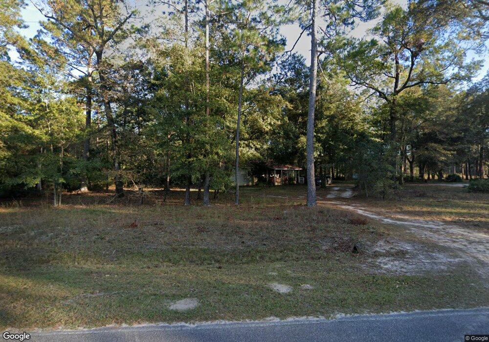
400 Long Rd Hinesville, GA 31313
Estimated Value: $93,000 - $313,000
3
Beds
2
Baths
1,336
Sq Ft
$138/Sq Ft
Est. Value
About This Home
This home is located at 400 Long Rd, Hinesville, GA 31313 and is currently estimated at $183,845, approximately $137 per square foot. 400 Long Rd is a home located in Liberty County with nearby schools including Taylors Creek Elementary School, Lewis Frasier Middle School, and Bradwell Institute.
Ownership History
Date
Name
Owned For
Owner Type
Purchase Details
Closed on
Jul 20, 2007
Sold by
Strickland William
Bought by
Taverna Carol
Current Estimated Value
Purchase Details
Closed on
Jan 1, 2005
Sold by
Coward Carolyn M Tr
Bought by
Home Eq Servicing Corportation F/K/A
Purchase Details
Closed on
May 15, 1997
Sold by
Coward Carolyn M
Bought by
Coward Carolyn M Tr
Purchase Details
Closed on
Oct 29, 1993
Bought by
Coward Carolyn M
Purchase Details
Closed on
Jan 31, 1991
Bought by
Coward Carolyn and Coward Daniel P
Create a Home Valuation Report for This Property
The Home Valuation Report is an in-depth analysis detailing your home's value as well as a comparison with similar homes in the area
Home Values in the Area
Average Home Value in this Area
Purchase History
| Date | Buyer | Sale Price | Title Company |
|---|---|---|---|
| Taverna Carol | $42,500 | -- | |
| Home Eq Servicing Corportation F/K/A | $36,000 | -- | |
| Coward Carolyn M Tr | -- | -- | |
| Coward Carolyn M | -- | -- | |
| Coward Carolyn | -- | -- |
Source: Public Records
Tax History Compared to Growth
Tax History
| Year | Tax Paid | Tax Assessment Tax Assessment Total Assessment is a certain percentage of the fair market value that is determined by local assessors to be the total taxable value of land and additions on the property. | Land | Improvement |
|---|---|---|---|---|
| 2024 | $55 | $29,818 | $3,377 | $26,441 |
| 2023 | $55 | $22,207 | $3,377 | $18,830 |
| 2022 | $9 | $18,414 | $3,070 | $15,344 |
| 2021 | $557 | $16,917 | $3,070 | $13,847 |
| 2020 | $564 | $17,130 | $3,070 | $14,060 |
| 2019 | $650 | $17,342 | $3,070 | $14,272 |
| 2018 | $578 | $17,555 | $3,070 | $14,485 |
| 2017 | $585 | $17,768 | $3,070 | $14,698 |
| 2016 | -- | $17,981 | $3,070 | $14,911 |
| 2015 | -- | $17,272 | $2,362 | $14,911 |
| 2014 | -- | $12,477 | $1,636 | $10,840 |
| 2013 | -- | $12,746 | $2,704 | $10,042 |
Source: Public Records
Map
Nearby Homes
- 537 Long Rd
- 271 Silver Hill Rd
- 00 Worth Groover Rd
- 1 County Line Rd
- 21.57 AC John Wells Rd
- 684 Margaret Rd
- 452 Hardee Rd
- 000 Hodges Rd
- 30 Acres Hodges Rd
- 00 Hodges Rd
- 602 Hardee Rd NE
- 24 Hiram Ray Rd
- 84 Oak Hill Rd
- 3453 John Wells Rd NE
- 124 Murrell Rd
- 64 Hiram Ray Rd
- 3453 John Wells Rd
- 86 White Oak Dr NE
- 438 Long Rd
- 401 Long Rd
- 373 Long Rd
- 730 Worth Groover Rd
- 478 Long Rd
- 455 Long Rd
- 704 Worth Groover Rd
- 331 Silver Hill Rd
- 368 Long Rd
- 664 Worth Groover Rd
- 272 Silver Hill Rd
- 201 Silver Hill Rd
- 593 Long Rd
- 618 Long Rd
- 607 Worth Groover Rd
- 182 Silver Hill Rd
- 539 Worth Groover Rd
- 625 Worth Groover Rd
- 523 Worth Groover Rd
- 64 Silver Hill Rd