Estimated Value: $350,742 - $401,000
3
Beds
3
Baths
1,755
Sq Ft
$214/Sq Ft
Est. Value
About This Home
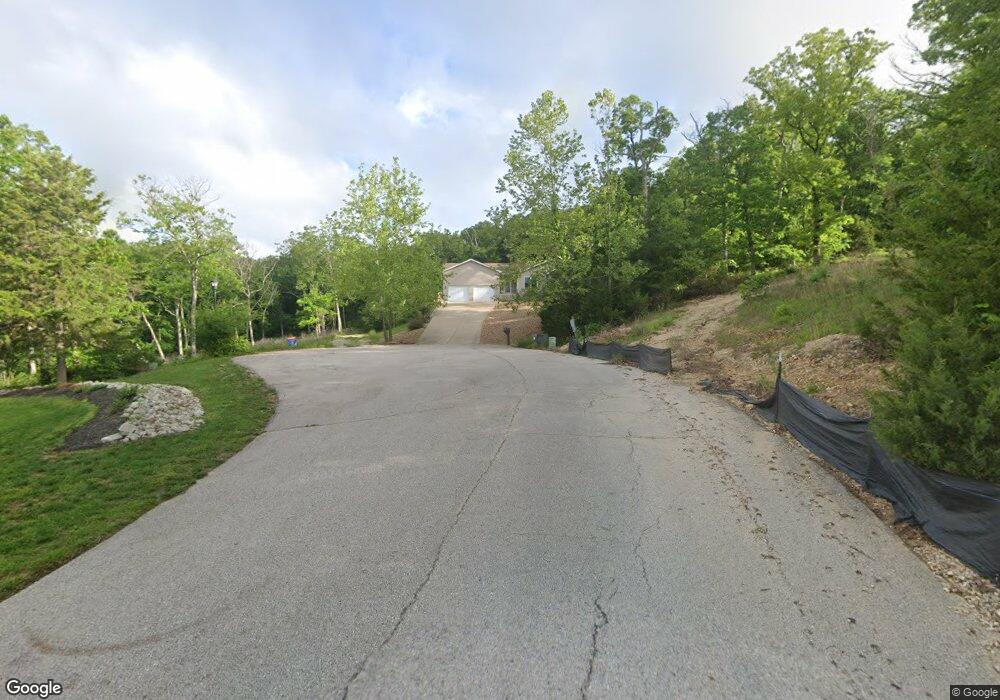
This home is located at 400 Mark Twain Loop, Union, MO 63084 and is currently estimated at $374,914, approximately $213 per square foot. 400 Mark Twain Loop is a home located in Franklin County with nearby schools including Union High School.
Ownership History
Date
Name
Owned For
Owner Type
Purchase Details
Closed on
Dec 13, 2012
Sold by
Marcus R Ashworth Trust
Bought by
Brakefield Jasie
Current Estimated Value
Home Financials for this Owner
Home Financials are based on the most recent Mortgage that was taken out on this home.
Original Mortgage
$20,806
Interest Rate
4.36%
Mortgage Type
New Conventional
Purchase Details
Closed on
Aug 14, 2007
Sold by
Ashworth Marcus and Ashworth Kimberly
Bought by
Marcus R Ashworth Trust and Kimberly D Ashworth Trust
Purchase Details
Closed on
May 31, 2006
Sold by
Wurdack Properties Llc
Bought by
Ashworth Marcus and Ashworth Kimberly
Create a Home Valuation Report for This Property
The Home Valuation Report is an in-depth analysis detailing your home's value as well as a comparison with similar homes in the area
Purchase History
| Date | Buyer | Sale Price | Title Company |
|---|---|---|---|
| Brakefield Jasie | $25,750 | -- | |
| Marcus R Ashworth Trust | -- | None Available | |
| Ashworth Marcus | -- | None Available |
Source: Public Records
Mortgage History
| Date | Status | Borrower | Loan Amount |
|---|---|---|---|
| Previous Owner | Brakefield Jasie | $20,806 |
Source: Public Records
Tax History
| Year | Tax Paid | Tax Assessment Tax Assessment Total Assessment is a certain percentage of the fair market value that is determined by local assessors to be the total taxable value of land and additions on the property. | Land | Improvement |
|---|---|---|---|---|
| 2025 | $2,212 | $41,897 | $0 | $0 |
| 2024 | $2,212 | $38,752 | $0 | $0 |
| 2023 | $2,068 | $38,752 | $0 | $0 |
| 2022 | $2,263 | $42,303 | $0 | $0 |
| 2021 | $2,267 | $42,303 | $0 | $0 |
| 2020 | $2,062 | $37,914 | $0 | $0 |
| 2019 | $2,056 | $37,914 | $0 | $0 |
| 2018 | $1,772 | $34,644 | $0 | $0 |
| 2017 | $1,780 | $34,644 | $0 | $0 |
| 2016 | $1,762 | $33,428 | $0 | $0 |
| 2015 | $1,731 | $33,428 | $0 | $0 |
| 2014 | $132 | $2,540 | $0 | $0 |
Source: Public Records
Map
Nearby Homes
- 405 Mark Twain Loop
- 430 Mark Twain Loop
- 6560 Highway Bb
- 421 Park Ln
- 541 Rock Creek Dr
- 219 Fawn Dr
- 0 Heard Ct
- 301 Park Place Dr
- 7195 Highway Aj
- 21 Forest Ln
- 54 Hickory Cir
- 406 Emma Ln
- 626 Lindsey Dr
- 3732 Highway A
- 130 Rolling Hills Dr
- 914 W State St
- 4 Lindner Ln
- 1552 Clearview Rd
- 26 & 30 Ridge Point Meadows
- 725 W Main St
- 400 Mark Twain Loop Unit Lot 73
- 406 Mark Twain Loop Unit 72
- 405 Mark Twain Loop Unit 74
- 0 Lot #67 Mark Twain Loop Unit 90059190
- 411 Mark Twain Loop
- 412 Mark Twain Loop
- 748 High Ridge Dr
- 707 Tom Sawyer Ct
- 418 Mark Twain Loop
- 417 Mark Twain Loop
- 780 High Ridge Dr
- 713 Tom Sawyer Ct
- 0LOT 80 Tom Sawyer Ct
- 0LOT 79 Tom Sawyer Ct
- 751 High Ridge Dr
- 424 Mark Twain Loop
- 708 Tom Sawyer Ct
- 720 Tom Sawyer Ct
- 453 Mark Twain Loop
- 7124 Highway Bb
Your Personal Tour Guide
Ask me questions while you tour the home.