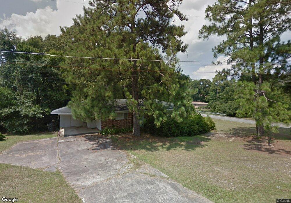
400 Mauk Cir Warner Robins, GA 31093
Estimated Value: $122,000 - $177,000
3
Beds
2
Baths
1,468
Sq Ft
$102/Sq Ft
Est. Value
About This Home
This home is located at 400 Mauk Cir, Warner Robins, GA 31093 and is currently estimated at $149,750, approximately $102 per square foot. 400 Mauk Cir is a home located in Houston County with nearby schools including Westside Elementary School, Northside Middle School, and Northside High School.
Ownership History
Date
Name
Owned For
Owner Type
Purchase Details
Closed on
Jan 5, 2021
Sold by
Rozner Avishai
Bought by
Milka Investments Llc
Current Estimated Value
Purchase Details
Closed on
Oct 27, 2020
Sold by
Ray Wayne D
Bought by
Rozner Avishae
Purchase Details
Closed on
Oct 16, 2020
Sold by
Laberee Karla
Bought by
Ray Wayne D
Purchase Details
Closed on
Oct 14, 2020
Sold by
Reece Karyn
Bought by
Ray Wayne D
Purchase Details
Closed on
Oct 13, 2020
Sold by
Ray Kevin
Bought by
Ray Wayne D
Purchase Details
Closed on
Aug 11, 1966
Sold by
Caulder Marshall A
Bought by
Ray Wayne D and Ray Ruth J
Purchase Details
Closed on
Mar 17, 1965
Bought by
Caulder Marshall A
Create a Home Valuation Report for This Property
The Home Valuation Report is an in-depth analysis detailing your home's value as well as a comparison with similar homes in the area
Home Values in the Area
Average Home Value in this Area
Purchase History
| Date | Buyer | Sale Price | Title Company |
|---|---|---|---|
| Milka Investments Llc | -- | None Available | |
| Rozner Avishae | $39,000 | None Available | |
| Ray Wayne D | -- | None Available | |
| Ray Wayne D | -- | None Available | |
| Ray Wayne D | -- | None Available | |
| Ray Wayne D | -- | -- | |
| Caulder Marshall A | -- | -- |
Source: Public Records
Tax History Compared to Growth
Tax History
| Year | Tax Paid | Tax Assessment Tax Assessment Total Assessment is a certain percentage of the fair market value that is determined by local assessors to be the total taxable value of land and additions on the property. | Land | Improvement |
|---|---|---|---|---|
| 2024 | $1,020 | $42,640 | $5,560 | $37,080 |
| 2023 | $868 | $35,920 | $5,560 | $30,360 |
| 2022 | $755 | $31,240 | $4,480 | $26,760 |
| 2021 | $379 | $27,640 | $4,480 | $23,160 |
| 2020 | $659 | $27,000 | $4,480 | $22,520 |
| 2019 | $659 | $27,000 | $4,480 | $22,520 |
| 2018 | $659 | $27,000 | $4,480 | $22,520 |
| 2017 | $660 | $27,000 | $4,480 | $22,520 |
| 2016 | $661 | $27,000 | $4,480 | $22,520 |
| 2015 | $662 | $27,000 | $4,480 | $22,520 |
| 2014 | -- | $27,000 | $4,480 | $22,520 |
| 2013 | -- | $27,920 | $4,480 | $23,440 |
Source: Public Records
Map
Nearby Homes
- 209 Knodishall Dr
- 501 Pinecrest Dr
- 111 Hawthorne Rd
- 221 Gilchrist Dr
- 725 B East Side Dr
- 110 Westcliff Cir Unit C
- 303 Pinecrest Dr
- 106 Westcliff Cir
- 103 Westcliff Cir Unit A
- 103 Westcliff Cir Unit A
- 129 Maryjay Dr
- 112 Peacock Dr
- 86 Westcliff Cir
- 110 Foxfire Dr
- 102 Westcliff Center St Unit D
- 110 Westcliff Center St
- 115 Wray St
- 123 Tanglewood Dr
- 301 Millside Dr
- 857 Ola Dr
- 402 Mauk Cir
- 0 Knodishall Dr Unit 8667699
- 0 Knodishall Dr Unit 8396987
- 0 Knodishall Dr Unit 9029378
- 0 Knodishall Dr Unit 8886650
- 0 Knodishall Dr
- 225 Knodishall Dr
- 302 Mauk Cir
- 224 Knodishall Dr
- 403 Mauk Cir
- 223 Knodishall Dr
- 222 Knodishall Dr
- 306 Knodishall Dr
- 134 Carter Cir
- 221 Knodishall Dr Unit 28
- 221 Knodishall Dr
- 301 Mauk Cir
- 123 Flournoy Dr
- 220 Knodishall Dr
- 132 Carter Cir