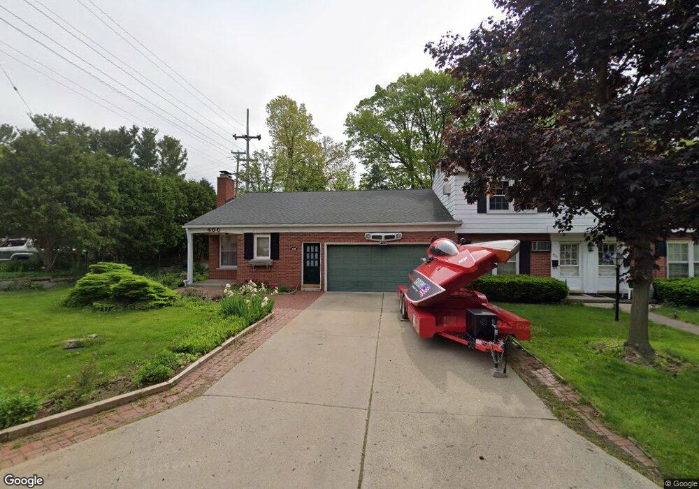
400 Miller Ave Rochester, MI 48307
Estimated Value: $693,000 - $875,000
4
Beds
3
Baths
3,598
Sq Ft
$215/Sq Ft
Est. Value
About This Home
This home is located at 400 Miller Ave, Rochester, MI 48307 and is currently estimated at $773,469, approximately $214 per square foot. 400 Miller Ave is a home with nearby schools including North Hill Elementary School, Hart Middle School, and Stoney Creek High School.
Ownership History
Date
Name
Owned For
Owner Type
Purchase Details
Closed on
Nov 10, 2023
Sold by
Scott Dennis G
Bought by
Dennis G Scott Revocable Living Trust and Scott
Current Estimated Value
Purchase Details
Closed on
Dec 20, 2017
Sold by
Head Robert A and Head Barbara D
Bought by
Scott Dennis
Home Financials for this Owner
Home Financials are based on the most recent Mortgage that was taken out on this home.
Original Mortgage
$328,652
Interest Rate
3.75%
Mortgage Type
FHA
Purchase Details
Closed on
Nov 3, 2006
Sold by
Head Robert A and Head Barbara D
Bought by
Scott Dennis G
Create a Home Valuation Report for This Property
The Home Valuation Report is an in-depth analysis detailing your home's value as well as a comparison with similar homes in the area
Home Values in the Area
Average Home Value in this Area
Purchase History
| Date | Buyer | Sale Price | Title Company |
|---|---|---|---|
| Dennis G Scott Revocable Living Trust | -- | None Listed On Document | |
| Dennis G Scott Revocable Living Trust | -- | None Listed On Document | |
| Scott Dennis | $425,000 | Title Company Llc | |
| Scott Dennis G | -- | Multiple |
Source: Public Records
Mortgage History
| Date | Status | Borrower | Loan Amount |
|---|---|---|---|
| Previous Owner | Scott Dennis | $328,652 |
Source: Public Records
Tax History Compared to Growth
Tax History
| Year | Tax Paid | Tax Assessment Tax Assessment Total Assessment is a certain percentage of the fair market value that is determined by local assessors to be the total taxable value of land and additions on the property. | Land | Improvement |
|---|---|---|---|---|
| 2024 | $5,759 | $344,520 | $0 | $0 |
| 2023 | $5,510 | $323,380 | $0 | $0 |
| 2022 | $6,546 | $283,370 | $0 | $0 |
| 2021 | $6,194 | $281,560 | $0 | $0 |
| 2020 | $5,147 | $268,860 | $0 | $0 |
| 2019 | $6,297 | $257,310 | $0 | $0 |
| 2011 | -- | $140,600 | $0 | $0 |
Source: Public Records
Map
Nearby Homes
- 433 Miller Ave Unit 204
- 536 Rewold Dr
- 420 Baldwin Ave Unit 79
- 761 Lounsbury Ave
- 509 E University Dr Unit 508
- 801 Plate St Unit 201
- 417 Parkdale Ave Unit 13
- 428 East St
- 500 Romeo Rd Unit 122
- 334 Romeo Rd
- 1022 Pointe Place Blvd
- 714 N Main St
- 804 N Main St Unit 2H
- 804 N Main St Unit 2A
- 804 N Main St Unit 2C
- 435 Thornridge Ct
- 164 Albertson St
- 402 W 4th St
- 1228 N Main St
- 446 6th St
- 512 Miller Ave
- 402 Miller Ave
- 516 Miller Ave
- 640 Meadow Ln
- 636 Meadow Ln
- 520 Miller Ave
- 632 Meadow Ln
- 524 Miller Ave
- 523 Miller Ave
- 628 Meadow Ln
- 401 Miller Ave
- 401 Miller Ave
- 401 Miller Ave
- 401 Miller Ave
- 401 Miller Ave Unit 105
- 401 Miller Ave Unit 205
- 401 Miller Ave Unit 206
- 401 Miller Ave Unit 59
- 528 Miller Ave
- 633 Meadow Ln