Estimated Value: $380,376
--
Bed
--
Bath
1,321
Sq Ft
$288/Sq Ft
Est. Value
About This Home
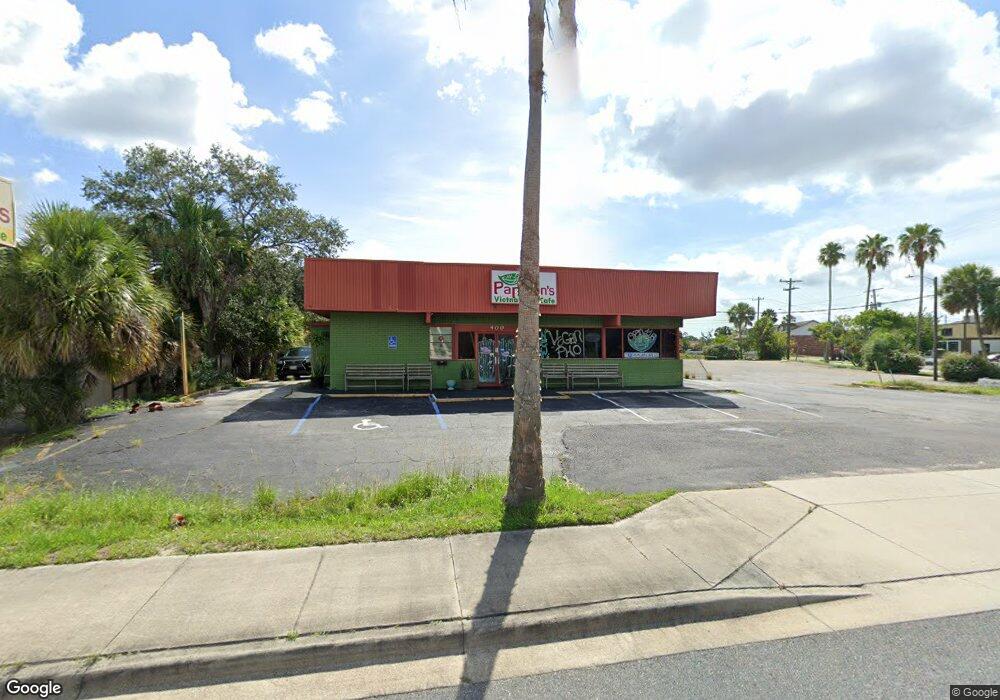
This home is located at 400 N Cocoa Blvd, Cocoa, FL 32922 and is currently estimated at $380,376, approximately $287 per square foot. 400 N Cocoa Blvd is a home located in Brevard County with nearby schools including Cambridge Elementary Magnet School, Cocoa High School, and Emma Jewel Charter Academy.
Ownership History
Date
Name
Owned For
Owner Type
Purchase Details
Closed on
Jun 25, 2010
Sold by
Carroll Kenneth J and Magill Robert H
Bought by
Dilligaf Rental Properties Llc
Current Estimated Value
Purchase Details
Closed on
Jan 27, 2006
Sold by
Carroll Kenneth J
Bought by
Carroll Kenneth J and Magill Robert H
Purchase Details
Closed on
Feb 17, 2005
Sold by
Hurtt Charles L and Hurtt Charles L
Bought by
Carroll Kenneth J
Home Financials for this Owner
Home Financials are based on the most recent Mortgage that was taken out on this home.
Original Mortgage
$150,000
Interest Rate
8.5%
Mortgage Type
Seller Take Back
Purchase Details
Closed on
Feb 23, 1994
Sold by
Hurtt Charles L
Bought by
Hurtt Mary M
Create a Home Valuation Report for This Property
The Home Valuation Report is an in-depth analysis detailing your home's value as well as a comparison with similar homes in the area
Home Values in the Area
Average Home Value in this Area
Purchase History
| Date | Buyer | Sale Price | Title Company |
|---|---|---|---|
| Dilligaf Rental Properties Llc | $120,600 | Federal Title Ins Agency Inc | |
| Carroll Kenneth J | $75,000 | Fidelity Natl Title Ins Co | |
| Carroll Kenneth J | $225,000 | Fidelity Natl Title Ins Co | |
| Hurtt Mary M | -- | -- |
Source: Public Records
Mortgage History
| Date | Status | Borrower | Loan Amount |
|---|---|---|---|
| Previous Owner | Carroll Kenneth J | $150,000 |
Source: Public Records
Tax History Compared to Growth
Tax History
| Year | Tax Paid | Tax Assessment Tax Assessment Total Assessment is a certain percentage of the fair market value that is determined by local assessors to be the total taxable value of land and additions on the property. | Land | Improvement |
|---|---|---|---|---|
| 2025 | $5,142 | $198,590 | -- | -- |
| 2024 | $4,730 | $197,050 | -- | -- |
| 2023 | $4,730 | $173,150 | $44,590 | $128,560 |
| 2022 | $4,225 | $163,680 | $0 | $0 |
| 2021 | $3,957 | $139,990 | $44,590 | $95,400 |
| 2020 | $4,286 | $164,560 | $44,590 | $119,970 |
| 2019 | $4,036 | $149,300 | $44,590 | $104,710 |
| 2018 | $3,426 | $136,370 | $44,590 | $91,780 |
| 2017 | $3,468 | $137,330 | $40,540 | $96,790 |
| 2016 | $3,290 | $123,030 | $40,540 | $82,490 |
| 2015 | $3,194 | $115,480 | $31,270 | $84,210 |
| 2014 | $2,231 | $93,000 | $31,270 | $61,730 |
Source: Public Records
Map
Nearby Homes
- 413 N Indian River Dr
- 0 Highway Us 1 Unit 1000884
- 135 Highland St
- 711 N Indian River Dr
- 150 Peachtree St
- 433 King St
- 506 Stone St
- 0000 Lemon St
- 220 Lemon St
- 15 N Indian River Dr Unit 505
- 418 Churchill Dr
- 406 Prospect Ave
- 305 Prospect Ave
- 93 Delannoy Ave Unit 405
- 919 Fern Ave
- 406 N Fiske Blvd
- 111 Cocoa Place
- 610 Paw St
- 614 Paw St
- 701 Thomas Ave
- 430 N Cocoa Blvd
- 310 Brunson Blvd
- 310 Brunson Blvd Unit 102
- 300 N Cocoa Blvd
- 465 Forrest Ave Unit 125
- 465 Forrest Ave Unit 126
- 200 N Cocoa Blvd
- 220 N Cocoa Blvd
- 461 Forrest Ave Unit 101
- 461 Forrest Ave Unit 101+103
- 461 Forrest Ave Unit 105
- 461 Forrest Ave
- 461 Forrest Ave Unit 103
- 461 Forrest Ave Unit 101
- 461 Forrest Ave Unit 107
- 461 Forrest Ave Unit 333
- 302 Main St
- 0 Main St
- 301 Forrest Ave
- 301 Forrest Ave