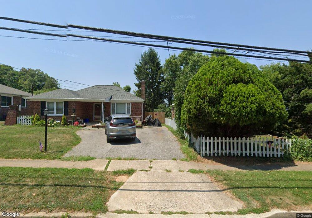
400 N Rolling Rd Catonsville, MD 21228
Estimated Value: $424,235 - $446,000
--
Bed
2
Baths
1,254
Sq Ft
$346/Sq Ft
Est. Value
About This Home
This home is located at 400 N Rolling Rd, Catonsville, MD 21228 and is currently estimated at $434,309, approximately $346 per square foot. 400 N Rolling Rd is a home located in Baltimore County with nearby schools including Westchester Elementary School, Catonsville Middle School, and Catonsville High School.
Ownership History
Date
Name
Owned For
Owner Type
Purchase Details
Closed on
Sep 27, 2022
Sold by
Pergival Leslie E Turner
Bought by
Turner Jahnessah and Shields Maartinah
Current Estimated Value
Purchase Details
Closed on
Mar 21, 2006
Sold by
Turner Jackie E S
Purchase Details
Closed on
Feb 9, 2006
Sold by
Turner Jackie E S
Purchase Details
Closed on
Jun 10, 1994
Sold by
Lewis David L
Bought by
Turner Jackie E
Home Financials for this Owner
Home Financials are based on the most recent Mortgage that was taken out on this home.
Original Mortgage
$123,400
Interest Rate
8.29%
Create a Home Valuation Report for This Property
The Home Valuation Report is an in-depth analysis detailing your home's value as well as a comparison with similar homes in the area
Home Values in the Area
Average Home Value in this Area
Purchase History
| Date | Buyer | Sale Price | Title Company |
|---|---|---|---|
| Turner Jahnessah | -- | -- | |
| -- | -- | -- | |
| -- | -- | -- | |
| Turner Jackie E | $129,900 | -- |
Source: Public Records
Mortgage History
| Date | Status | Borrower | Loan Amount |
|---|---|---|---|
| Previous Owner | Turner Jackie E | $123,400 |
Source: Public Records
Tax History Compared to Growth
Tax History
| Year | Tax Paid | Tax Assessment Tax Assessment Total Assessment is a certain percentage of the fair market value that is determined by local assessors to be the total taxable value of land and additions on the property. | Land | Improvement |
|---|---|---|---|---|
| 2025 | $4,210 | $344,533 | -- | -- |
| 2024 | $4,210 | $327,600 | $102,000 | $225,600 |
| 2023 | $2,028 | $309,367 | $0 | $0 |
| 2022 | $3,885 | $291,133 | $0 | $0 |
| 2021 | $4,043 | $272,900 | $102,000 | $170,900 |
| 2020 | $4,043 | $270,233 | $0 | $0 |
| 2019 | $4,131 | $267,567 | $0 | $0 |
| 2018 | $4,081 | $264,900 | $96,000 | $168,900 |
| 2017 | $3,639 | $256,100 | $0 | $0 |
| 2016 | $3,216 | $247,300 | $0 | $0 |
| 2015 | $3,216 | $238,500 | $0 | $0 |
| 2014 | $3,216 | $238,500 | $0 | $0 |
Source: Public Records
Map
Nearby Homes
- 1916 Old Frederick Rd
- 1920 Drummond Rd
- 18 Upman Ct
- 100 N Rolling Rd
- 343 N Beaumont Ave
- 2007 Rockwell Ave
- 353 N Beaumont Ave
- 627 Meyers Dr Unit PARCEL 108
- 627 Meyers Dr
- 2034 Edmondson Ave
- 1902 Lismore Ln
- 1013 Cummings Ave
- 1900 Lismore Ln
- 1910 Clifden Rd
- 1019 Cummings Ave
- 201 Suter Rd
- 2008 Rollingwood Rd
- 206 Winters Ln
- 2208 W Geipe Rd
- 6263 Gilston Park Rd
- 402 N Rolling Rd
- 1902 Altavue Rd
- 404 N Rolling Rd
- 1904 Altavue Rd
- 1903 Old Frederick Rd
- 1906 Altavue Rd
- 1901 Old Frederick Rd
- 406 N Rolling Rd
- 1905 Old Frederick Rd
- 1907 Old Frederick Rd
- 1908 Altavue Rd
- 1909 Old Frederick Rd
- 1909 Altavue Rd
- 1910 Altavue Rd
- 1911 Altavue Rd
- 1911 Old Frederick Rd
- 1912 Altavue Rd
- 1913 Old Frederick Rd
- 1919 Altavue Rd
- 1908 Old Frederick Rd