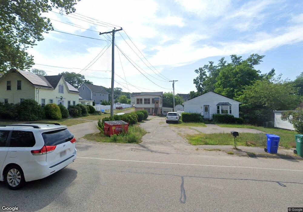
400 Newport Ave Attleboro, MA 02703
4
Beds
3
Baths
1,906
Sq Ft
0.53
Acres
About This Home
This home is located at 400 Newport Ave, Attleboro, MA 02703. 400 Newport Ave is a home located in Bristol County with nearby schools including Hill-Roberts Elementary School, Robert J. Coelho Middle School, and Attleboro High School.
Ownership History
Date
Name
Owned For
Owner Type
Purchase Details
Closed on
Nov 2, 2009
Sold by
400 Newport Avenue T
Bought by
Whipple Larry E
Home Financials for this Owner
Home Financials are based on the most recent Mortgage that was taken out on this home.
Original Mortgage
$175,000
Outstanding Balance
$114,618
Interest Rate
5.06%
Mortgage Type
Commercial
Purchase Details
Closed on
Jul 3, 2007
Sold by
400 Newport Avenue T
Bought by
Whipple Larry E
Home Financials for this Owner
Home Financials are based on the most recent Mortgage that was taken out on this home.
Original Mortgage
$300,000
Interest Rate
6.24%
Mortgage Type
Commercial
Create a Home Valuation Report for This Property
The Home Valuation Report is an in-depth analysis detailing your home's value as well as a comparison with similar homes in the area
Home Values in the Area
Average Home Value in this Area
Purchase History
| Date | Buyer | Sale Price | Title Company |
|---|---|---|---|
| Whipple Larry E | -- | -- | |
| Whipple Larry E | -- | -- | |
| 400 Newport Ave T | -- | -- |
Source: Public Records
Mortgage History
| Date | Status | Borrower | Loan Amount |
|---|---|---|---|
| Open | Whipple Larry E | $175,000 | |
| Previous Owner | 400 Newport Ave T | $300,000 |
Source: Public Records
Tax History Compared to Growth
Tax History
| Year | Tax Paid | Tax Assessment Tax Assessment Total Assessment is a certain percentage of the fair market value that is determined by local assessors to be the total taxable value of land and additions on the property. | Land | Improvement |
|---|---|---|---|---|
| 2025 | $0 | $311,000 | $98,400 | $212,600 |
| 2024 | $5,526 | $310,100 | $98,400 | $211,700 |
| 2023 | $0 | $292,700 | $98,400 | $194,300 |
| 2022 | $5,526 | $279,100 | $98,400 | $180,700 |
| 2021 | $0 | $306,300 | $139,200 | $167,100 |
| 2020 | $0 | $305,000 | $134,200 | $170,800 |
| 2019 | $0 | $292,100 | $132,700 | $159,400 |
| 2018 | $5,526 | $273,300 | $128,800 | $144,500 |
| 2017 | $5,643 | $276,200 | $128,800 | $147,400 |
| 2016 | -- | $247,300 | $124,000 | $123,300 |
| 2015 | -- | $235,200 | $124,000 | $111,200 |
| 2014 | $3,950 | $230,700 | $120,200 | $110,500 |
Source: Public Records
Map
Nearby Homes
- 338 Newport Ave
- 23 Cumberland Ave
- 135 Cumberland Ave
- 543 Newport Ave
- 0 Middle St
- 176 Read St
- 15 Arline Dr
- 59 Samuel Way
- 11 Howarth Ave
- 64 Highland Ave Unit A
- 64 Highland Ave Unit B
- 27 Killarney Way
- 155 May St
- 130 Zoar Ave
- 39 Slade Ave
- 0 Mendon Rd
- 44 Buffington St
- 20 Georgia Rae Way
- 980 Newport Ave
- 12 Tyson Place
- 400 Newport Ave Unit Lower Level
- 400 Newport Ave Unit upper level
- 400 Newport Ave Unit 2nd flr
- 400 Newport Ave Unit 1
- 400 Newport Ave Unit 2
- 370 Newport Ave
- 390 Newport Ave Unit 2
- 390 Newport Ave Unit 1
- 390 Newport Ave Unit 390
- 390 Newport Ave & Halko Unit 1
- 390 Newport Ave & Halko Unit 2
- 406 Newport Ave
- 7 Halko Dr
- 2 Halko Dr
- 4 Halko Dr
- 380 Newport Ave Unit 2
- 380 Newport Ave Unit 1
- 411 Newport Ave
- 389 Newport Ave
- 407 Newport Ave