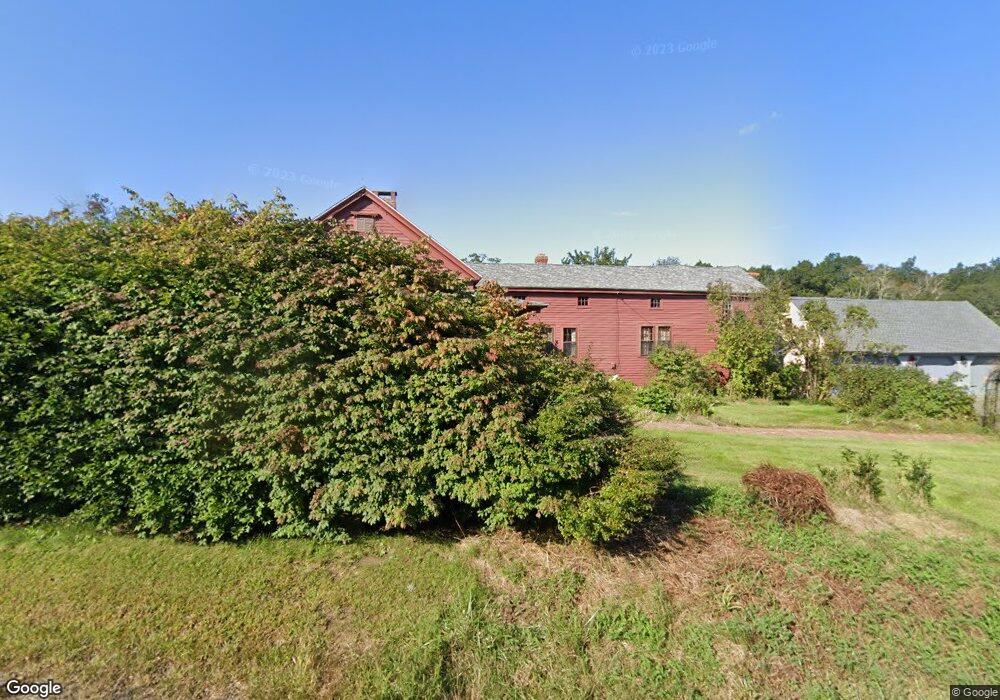
400 Nott Hwy Ashford, CT 06278
Estimated Value: $423,000 - $525,000
4
Beds
3
Baths
2,094
Sq Ft
$215/Sq Ft
Est. Value
About This Home
This home is located at 400 Nott Hwy, Ashford, CT 06278 and is currently estimated at $450,213, approximately $215 per square foot. 400 Nott Hwy is a home located in Windham County with nearby schools including Ashford School and E.O. Smith High School.
Ownership History
Date
Name
Owned For
Owner Type
Purchase Details
Closed on
Oct 4, 2017
Sold by
Zulick Richard V and Zulick Tracy L
Bought by
Foster Lorraine
Current Estimated Value
Purchase Details
Closed on
Dec 1, 1986
Bought by
Zulick Richard and Zulick Tracy L
Create a Home Valuation Report for This Property
The Home Valuation Report is an in-depth analysis detailing your home's value as well as a comparison with similar homes in the area
Home Values in the Area
Average Home Value in this Area
Purchase History
| Date | Buyer | Sale Price | Title Company |
|---|---|---|---|
| Foster Lorraine | -- | -- | |
| Foster Lorraine | -- | -- | |
| Chase Cheryl A | -- | -- | |
| Chase Cheryl A | -- | -- | |
| Zulick Richard | -- | -- |
Source: Public Records
Mortgage History
| Date | Status | Borrower | Loan Amount |
|---|---|---|---|
| Previous Owner | Zulick Richard | $64,025 | |
| Previous Owner | Zulick Richard | $75,000 |
Source: Public Records
Tax History Compared to Growth
Tax History
| Year | Tax Paid | Tax Assessment Tax Assessment Total Assessment is a certain percentage of the fair market value that is determined by local assessors to be the total taxable value of land and additions on the property. | Land | Improvement |
|---|---|---|---|---|
| 2025 | $6,267 | $172,270 | $31,780 | $140,490 |
| 2024 | $5,919 | $172,270 | $31,780 | $140,490 |
| 2023 | $5,179 | $156,520 | $31,780 | $124,740 |
| 2022 | $5,051 | $156,520 | $31,780 | $124,740 |
| 2021 | $4,783 | $131,500 | $34,100 | $97,400 |
| 2020 | $2,903 | $131,500 | $34,100 | $97,400 |
| 2019 | $4,663 | $131,500 | $34,100 | $97,400 |
| 2018 | $2,827 | $131,500 | $34,100 | $97,400 |
| 2017 | $4,527 | $131,700 | $34,300 | $97,400 |
| 2016 | $3,570 | $110,300 | $42,300 | $68,000 |
| 2015 | $3,635 | $110,300 | $42,300 | $68,000 |
| 2014 | $3,547 | $110,300 | $42,300 | $68,000 |
Source: Public Records
Map
Nearby Homes
- 102 Krapf Rd
- 150 Krapf Rd
- 90-94 & 93 Upton Rd
- 173 Westford Hill Rd
- 0 Chatey Rd
- 0 Jared Sparks Rd
- 94 Mansfield Rd
- 685 Wormwood Hill Rd
- 329 Turnpike Rd
- 22 Red Oak Hill Rd
- 25 Ridgewood Rd
- 266 Willington Hill Rd
- 66 Bebbington Rd
- 39 Navratil Rd
- 674 Middle Turnpike
- 53 Willington Hill Rd
- 0 Lohse Rd Unit map 42 block 21
- 152 Cedar Swamp Rd
- 0 River Rd Unit 24120753
- 12 Armitage Ct