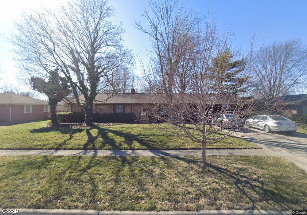
400 Rilla Rd Findlay, OH 45840
Estimated Value: $251,658 - $301,000
3
Beds
2
Baths
1,776
Sq Ft
$155/Sq Ft
Est. Value
About This Home
This home is located at 400 Rilla Rd, Findlay, OH 45840 and is currently estimated at $274,915, approximately $154 per square foot. 400 Rilla Rd is a home located in Hancock County with nearby schools including Wilson Vance Elementary School, Whittier Elementary School, and Donnell Middle School.
Ownership History
Date
Name
Owned For
Owner Type
Purchase Details
Closed on
Apr 26, 2022
Sold by
Bogard James L and Bogard Kay I
Bought by
Bogard James L and Bogard Kay I
Current Estimated Value
Purchase Details
Closed on
Aug 5, 1992
Bought by
Bogard James L and Bogard Kay I
Purchase Details
Closed on
Oct 24, 1991
Bought by
Davis Larry D and Davis Lisa A
Purchase Details
Closed on
Feb 22, 1991
Bought by
Couchot Michael L
Purchase Details
Closed on
Dec 2, 1985
Bought by
Couchot Michael L and Couchot Paula
Create a Home Valuation Report for This Property
The Home Valuation Report is an in-depth analysis detailing your home's value as well as a comparison with similar homes in the area
Home Values in the Area
Average Home Value in this Area
Purchase History
| Date | Buyer | Sale Price | Title Company |
|---|---|---|---|
| Bogard James L | -- | Kuenzli Drake Phillips | |
| Bogard James L | $100,000 | -- | |
| Davis Larry D | $92,000 | -- | |
| Couchot Michael L | -- | -- | |
| Couchot Michael L | $85,500 | -- |
Source: Public Records
Tax History
| Year | Tax Paid | Tax Assessment Tax Assessment Total Assessment is a certain percentage of the fair market value that is determined by local assessors to be the total taxable value of land and additions on the property. | Land | Improvement |
|---|---|---|---|---|
| 2024 | $2,406 | $66,000 | $11,900 | $54,100 |
| 2023 | $2,410 | $66,000 | $11,900 | $54,100 |
| 2022 | $2,402 | $66,000 | $11,900 | $54,100 |
| 2021 | $2,188 | $53,760 | $11,470 | $42,290 |
| 2020 | $2,188 | $53,760 | $11,470 | $42,290 |
| 2019 | $2,144 | $53,760 | $11,470 | $42,290 |
| 2018 | $1,985 | $45,680 | $10,430 | $35,250 |
| 2017 | $1,986 | $45,680 | $10,430 | $35,250 |
| 2016 | $1,960 | $45,680 | $10,430 | $35,250 |
| 2015 | $2,266 | $51,830 | $9,100 | $42,730 |
| 2014 | $2,267 | $51,830 | $9,100 | $42,730 |
| 2012 | $2,282 | $51,830 | $9,100 | $42,730 |
Source: Public Records
Map
Nearby Homes
- 1421 E Sandusky St
- 1421 Autumn Dr
- 309 Huron Rd
- 1001 Decker Ave
- 1200 1st St
- 1037 Fishlock Ave
- 15591 Canadian Way
- 15586 Canadian Way
- 15615 Canadian Way
- 1020 Country Club Dr
- 401 Westchester Dr
- 1521 Middle Ct
- 707 Winterhaven Dr
- 1308 Greendale Ave
- 1825 Greendale Ave
- 2000 Rush Creek Ct
- 439 Carnahan Ave
- 640 Center St
- 0 Blanchard Ave
- 542 Bright Rd
Your Personal Tour Guide
Ask me questions while you tour the home.