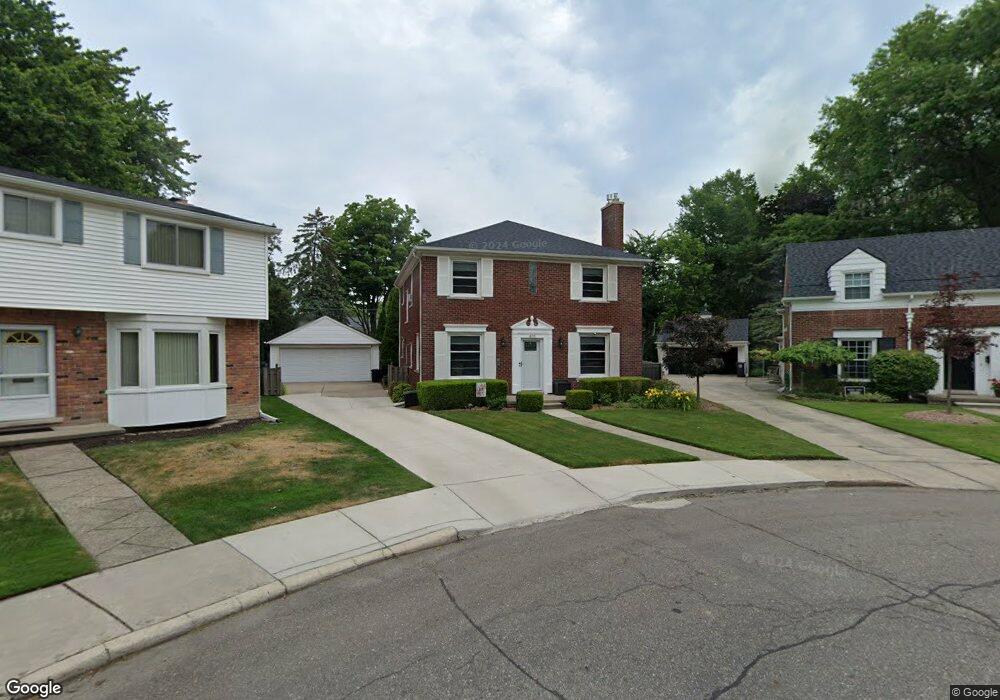
400 Roland Ct Unit Bldg-Unit Grosse Pointe Farms, MI 48236
Estimated Value: $431,710 - $507,000
--
Bed
2
Baths
2,040
Sq Ft
$226/Sq Ft
Est. Value
About This Home
This home is located at 400 Roland Ct Unit Bldg-Unit, Grosse Pointe Farms, MI 48236 and is currently estimated at $460,928, approximately $225 per square foot. 400 Roland Ct Unit Bldg-Unit is a home located in Wayne County with nearby schools including John Monteith Elementary School, Brownell Middle School, and Grosse Pointe North High School.
Ownership History
Date
Name
Owned For
Owner Type
Purchase Details
Closed on
Aug 2, 2019
Sold by
Dettloff Mark and Dettloff Lori
Bought by
Mark S Dettloff and Mark Lori A Dettloff Rlt
Current Estimated Value
Purchase Details
Closed on
May 3, 2019
Sold by
Boushehri Kamran
Bought by
Dettloff Mark and Dettloff Lori
Purchase Details
Closed on
Sep 9, 2010
Sold by
Stann Debra
Bought by
Stann Kenneth
Purchase Details
Closed on
Mar 31, 2000
Sold by
Hackenberger Catherine M
Bought by
Debra A Stann
Create a Home Valuation Report for This Property
The Home Valuation Report is an in-depth analysis detailing your home's value as well as a comparison with similar homes in the area
Home Values in the Area
Average Home Value in this Area
Purchase History
| Date | Buyer | Sale Price | Title Company |
|---|---|---|---|
| Mark S Dettloff | -- | None Available | |
| Dettloff Mark | $320,000 | Colonial Title Company | |
| Stann Kenneth | -- | None Available | |
| Debra A Stann | $295,000 | -- |
Source: Public Records
Tax History Compared to Growth
Tax History
| Year | Tax Paid | Tax Assessment Tax Assessment Total Assessment is a certain percentage of the fair market value that is determined by local assessors to be the total taxable value of land and additions on the property. | Land | Improvement |
|---|---|---|---|---|
| 2025 | $4,315 | $203,100 | $0 | $0 |
| 2024 | $4,315 | $186,600 | $0 | $0 |
| 2023 | $3,954 | $174,000 | $0 | $0 |
| 2022 | $3,954 | $160,100 | $0 | $0 |
| 2021 | $7,255 | $147,500 | $0 | $0 |
| 2019 | $4,479 | $127,700 | $0 | $0 |
| 2018 | $2,292 | $120,200 | $0 | $0 |
| 2017 | $3,977 | $117,100 | $0 | $0 |
| 2016 | $4,169 | $115,100 | $0 | $0 |
| 2015 | $8,258 | $91,100 | $0 | $0 |
| 2013 | $8,000 | $80,000 | $0 | $0 |
| 2012 | $2,409 | $90,600 | $21,900 | $68,700 |
Source: Public Records
Map
Nearby Homes
- 410 Roland Ct
- 486 Bournemouth Rd
- 463 Colonial Ct
- 450 Roland Rd
- 1597 Newcastle Rd
- 419 Maison Rd
- 22200 Moross Rd
- 5228 Hillcrest St
- 1764 Prestwick Rd
- 19299 Raymond St
- 19242 Eastborne St
- 19226 Eastborne St
- 18721 Chandler Park Dr
- 5056 Lafontaine St
- 343 Beaupre Ave
- 432 Calvin Ave
- 5522 Ashley St
- 21602 Newcastle Rd
- 809 Fairford Rd
- 19980 W Clairview Ct
- 400 Roland Ct
- 402 Roland Ct
- 401 Roland Ct
- 407 Lexington Rd
- 411 Lexington Rd
- 404 Roland Ct
- 403 Roland Ct
- 403 Lexington Rd
- 406 Roland Ct
- 405 Roland Ct
- 415 Lexington Rd
- 401 Lexington Rd
- 437 Chalfonte Ave
- 408 Roland Ct
- 435 Chalfonte Ave
- 464 Bournemouth Cir
- 407 Roland Ct
- 462 Bournemouth Cir
- 431 Chalfonte Ave
- 417 Lexington Rd