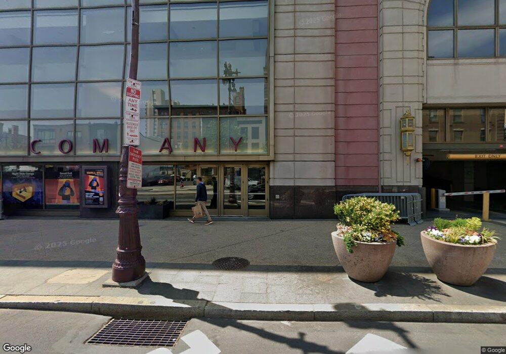
400 S Broad St Unit 1204 Philadelphia, PA 19146
Rittenhouse Square NeighborhoodEstimated Value: $512,725 - $856,000
1
Bed
1
Bath
848
Sq Ft
$720/Sq Ft
Est. Value
About This Home
This home is located at 400 S Broad St Unit 1204, Philadelphia, PA 19146 and is currently estimated at $610,431, approximately $719 per square foot. 400 S Broad St Unit 1204 is a home located in Philadelphia County with nearby schools including Albert M Greenfield School, Benjamin Franklin High School, and Independence Charter School.
Ownership History
Date
Name
Owned For
Owner Type
Purchase Details
Closed on
Apr 27, 2021
Sold by
Ismail Amid I and Hasson Hana
Bought by
Thompson Emilie
Current Estimated Value
Purchase Details
Closed on
Apr 20, 2017
Sold by
Ismail Amid and Hasson Hana
Bought by
Ismail Amid I and Hasson Hana
Purchase Details
Closed on
Aug 31, 2010
Sold by
Scott Robert N and Danage Scott Loria J
Bought by
Ismail Amid and Hasson Hana
Home Financials for this Owner
Home Financials are based on the most recent Mortgage that was taken out on this home.
Original Mortgage
$185,000
Interest Rate
4.44%
Mortgage Type
New Conventional
Create a Home Valuation Report for This Property
The Home Valuation Report is an in-depth analysis detailing your home's value as well as a comparison with similar homes in the area
Home Values in the Area
Average Home Value in this Area
Purchase History
| Date | Buyer | Sale Price | Title Company |
|---|---|---|---|
| Thompson Emilie | $440,000 | Community First Abstract | |
| Ismail Amid I | -- | City Line Abstartc Co | |
| Ismail Amid | $360,000 | None Available |
Source: Public Records
Mortgage History
| Date | Status | Borrower | Loan Amount |
|---|---|---|---|
| Previous Owner | Ismail Amid | $185,000 |
Source: Public Records
Tax History Compared to Growth
Tax History
| Year | Tax Paid | Tax Assessment Tax Assessment Total Assessment is a certain percentage of the fair market value that is determined by local assessors to be the total taxable value of land and additions on the property. | Land | Improvement |
|---|---|---|---|---|
| 2025 | $6,813 | $511,000 | $45,900 | $465,100 |
| 2024 | $6,813 | $511,000 | $45,900 | $465,100 |
| 2023 | $6,813 | $486,700 | $43,800 | $442,900 |
| 2022 | $6,183 | $441,700 | $43,800 | $397,900 |
| 2021 | $6,680 | $0 | $0 | $0 |
| 2020 | $6,680 | $477,200 | $42,948 | $434,252 |
| 2019 | $6,680 | $0 | $0 | $0 |
| 2018 | $6,859 | $0 | $0 | $0 |
| 2017 | $3,218 | $0 | $0 | $0 |
| 2016 | $90 | $0 | $0 | $0 |
| 2015 | $86 | $0 | $0 | $0 |
| 2014 | -- | $490,000 | $6,400 | $483,600 |
| 2012 | -- | $36,832 | $5,968 | $30,864 |
Source: Public Records
Map
Nearby Homes
- 1413 Lombard St
- 1415 Lombard St
- 400 S Broad St Unit 1503
- 440 S Broad St Unit 902
- 440 S Broad St Unit 1003
- 440 S Broad St Unit 1907
- 440 S Broad St Unit 1406
- 338 S Hicks St
- 1528 Pine St Unit 1F
- 1524 Naudain St
- 515 S Juniper St
- 301 S Broad St Unit 1902
- 301 S Broad St Unit 2702
- 301 S Broad St Unit 2302
- 301 S Broad St Unit 2103
- 301 S Broad St Unit 1801
- 301 S Broad St Unit 1701
- 301 S Broad St Unit PH1
- 301 S Broad St Unit PH 43 & 44
- 301 S Broad St Unit 801
- 400 S Broad St Unit 1704
- 400 S Broad St Unit 2702
- 400 S Broad St Unit 1109
- 400 S Broad St Unit 2701
- 400 S Broad St Unit 2803
- 400 S Broad St Unit 2003
- 400 S Broad St Unit 908
- 400 S Broad St Unit 906
- 400 S Broad St Unit 1804
- 400 S Broad St Unit 1409
- 400 S Broad St Unit 1202
- 400 S Broad St Unit 1803
- 400 S Broad St Unit 1003
- 400 S Broad St Unit 1403
- 400 S Broad St Unit 2202
- 400 S Broad St Unit 2904
- 400 S Broad St Unit 2603
- 400 S Broad St Unit 1703
- 400 S Broad St Unit 1103
- 400 S Broad St Unit 2208