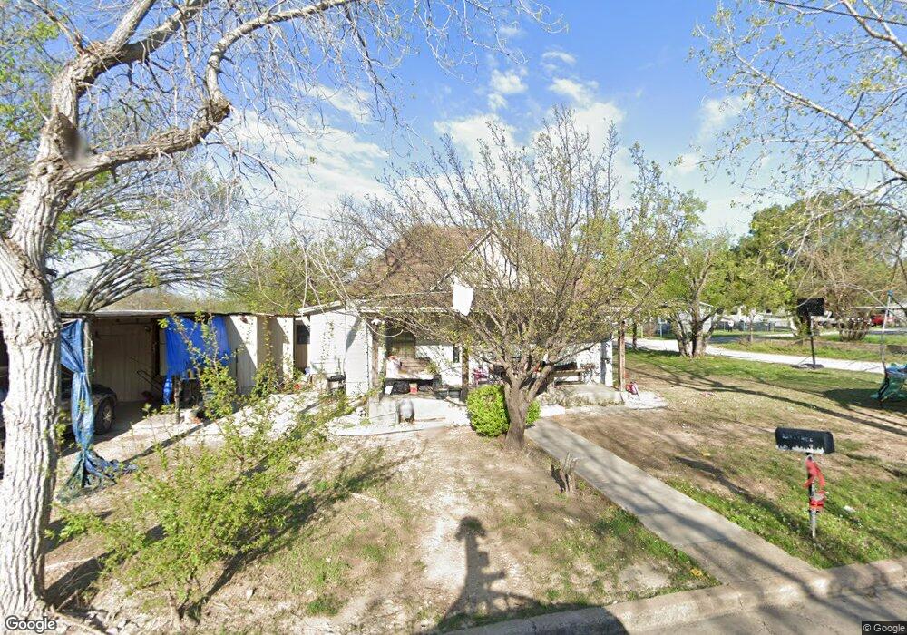
400 S Lane St Decatur, TX 76234
Estimated Value: $144,655 - $219,000
--
Bed
--
Bath
920
Sq Ft
$204/Sq Ft
Est. Value
About This Home
This home is located at 400 S Lane St, Decatur, TX 76234 and is currently estimated at $187,414, approximately $203 per square foot. 400 S Lane St is a home located in Wise County with nearby schools including Decatur High School and Victory Christian Academy.
Ownership History
Date
Name
Owned For
Owner Type
Purchase Details
Closed on
Oct 27, 2011
Sold by
Alonso Theresa Marie and Monroe Theresa Marie
Bought by
Martinez Carla U and Hernandes Andres
Current Estimated Value
Home Financials for this Owner
Home Financials are based on the most recent Mortgage that was taken out on this home.
Original Mortgage
$50,000
Interest Rate
4.13%
Mortgage Type
Seller Take Back
Purchase Details
Closed on
Jul 13, 1998
Bought by
Martinez Javier
Purchase Details
Closed on
Mar 24, 1998
Bought by
Martinez Javier
Purchase Details
Closed on
Jan 1, 1901
Bought by
Martinez Javier
Create a Home Valuation Report for This Property
The Home Valuation Report is an in-depth analysis detailing your home's value as well as a comparison with similar homes in the area
Home Values in the Area
Average Home Value in this Area
Purchase History
| Date | Buyer | Sale Price | Title Company |
|---|---|---|---|
| Martinez Carla U | -- | -- | |
| Martinez Javier | -- | -- | |
| Martinez Javier | -- | -- | |
| Martinez Javier | -- | -- |
Source: Public Records
Mortgage History
| Date | Status | Borrower | Loan Amount |
|---|---|---|---|
| Closed | Martinez Carla U | $50,000 |
Source: Public Records
Tax History Compared to Growth
Tax History
| Year | Tax Paid | Tax Assessment Tax Assessment Total Assessment is a certain percentage of the fair market value that is determined by local assessors to be the total taxable value of land and additions on the property. | Land | Improvement |
|---|---|---|---|---|
| 2025 | $567 | $112,085 | -- | -- |
| 2024 | $567 | $101,895 | $0 | $0 |
| 2023 | $1,680 | $92,632 | $0 | $0 |
| 2022 | $1,844 | $84,211 | $0 | $0 |
| 2021 | $1,747 | $81,730 | $17,280 | $64,450 |
| 2020 | $1,632 | $76,820 | $16,200 | $60,620 |
| 2019 | $1,568 | $72,100 | $16,200 | $55,900 |
| 2018 | $1,487 | $63,480 | $6,480 | $57,000 |
| 2017 | $1,357 | $52,290 | $6,480 | $45,810 |
| 2016 | $1,260 | $48,560 | $6,480 | $42,080 |
| 2015 | -- | $45,240 | $5,400 | $39,840 |
| 2014 | -- | $44,160 | $4,320 | $39,840 |
Source: Public Records
Map
Nearby Homes
- 401 S Holman St
- 601 W Brady St
- 204 W Collins St
- 1 S Martin Extension
- 200 W Hale Ave
- 709 S Church St
- 305 E Shoemaker St
- 407 N Lane St
- 805 Hollyn Dr
- 809 Hollyn Dr
- 813 Hollyn Dr
- 1300 S Trenchard Street S Decatur Unit TX 76234
- TBD Farm To Market 51
- 1300 S Trenchard St
- 0 N Hwy 287 Unit 25379920
- 1304 S State St
- 1202 S Hatcher St
- 506 E Main St
- 604 E Collins St
- 700 N Church St