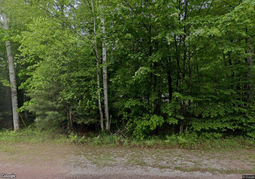
400 S Westwood Dr Ishpeming, MI 49849
Estimated Value: $294,148 - $321,000
3
Beds
2
Baths
1,344
Sq Ft
$228/Sq Ft
Est. Value
About This Home
This home is located at 400 S Westwood Dr, Ishpeming, MI 49849 and is currently estimated at $306,049, approximately $227 per square foot. 400 S Westwood Dr is a home located in Marquette County with nearby schools including Aspen Ridge School and Westwood High School.
Ownership History
Date
Name
Owned For
Owner Type
Purchase Details
Closed on
Jun 1, 2023
Sold by
Yuhas Eric J and Yuhas Michelle N
Bought by
Willey Dylan Rae and Willey Paige Kathleen
Current Estimated Value
Home Financials for this Owner
Home Financials are based on the most recent Mortgage that was taken out on this home.
Original Mortgage
$240,000
Outstanding Balance
$233,582
Interest Rate
6.39%
Mortgage Type
New Conventional
Estimated Equity
$72,467
Purchase Details
Closed on
Mar 19, 2020
Sold by
Frustaglio Philip J and Frustaglio Heather
Bought by
Yuhas Eric J and Yuhas Michelle N
Home Financials for this Owner
Home Financials are based on the most recent Mortgage that was taken out on this home.
Original Mortgage
$182,336
Interest Rate
3.4%
Mortgage Type
VA
Create a Home Valuation Report for This Property
The Home Valuation Report is an in-depth analysis detailing your home's value as well as a comparison with similar homes in the area
Home Values in the Area
Average Home Value in this Area
Purchase History
| Date | Buyer | Sale Price | Title Company |
|---|---|---|---|
| Willey Dylan Rae | $265,000 | Transnation Title Agency | |
| Yuhas Eric J | $176,000 | Steward & Sheridan Plc |
Source: Public Records
Mortgage History
| Date | Status | Borrower | Loan Amount |
|---|---|---|---|
| Open | Willey Dylan Rae | $240,000 | |
| Previous Owner | Yuhas Eric J | $182,336 |
Source: Public Records
Tax History Compared to Growth
Tax History
| Year | Tax Paid | Tax Assessment Tax Assessment Total Assessment is a certain percentage of the fair market value that is determined by local assessors to be the total taxable value of land and additions on the property. | Land | Improvement |
|---|---|---|---|---|
| 2025 | $18 | $123,400 | $0 | $0 |
| 2024 | $18 | $120,900 | $0 | $0 |
| 2023 | $1,003 | $104,500 | $0 | $0 |
| 2022 | $2,281 | $89,800 | $0 | $0 |
| 2021 | $2,162 | $92,500 | $0 | $0 |
| 2020 | $1,646 | $89,800 | $0 | $0 |
| 2019 | $1,618 | $85,700 | $0 | $0 |
| 2018 | $1,653 | $87,500 | $0 | $0 |
| 2017 | $1,619 | $87,900 | $0 | $0 |
| 2016 | $1,606 | $86,050 | $0 | $0 |
| 2015 | -- | $86,050 | $0 | $0 |
| 2014 | -- | $91,100 | $0 | $0 |
| 2012 | -- | $92,300 | $0 | $0 |
Source: Public Records
Map
Nearby Homes
- 230 Stoneville Rd
- 1545 Cypress St
- 120 Silver St
- Lot #10 N Greenwood
- Lot #11 N Greenwood
- 409 Excelsior St
- Lot #1 Greenwood St
- 120 Acres Willow St
- 1064 Highland Dr
- 653 Cedar St
- TBD N Greenwood - 3 Dr
- TBD N Dr
- V/L County Road 581
- TBD N Greenwood - 2 Dr
- 6610 County Road Pb
- 138 High Excelsior St
- 465 County Road Ppl
- 380 Pdj Rd
- 133 Cliff St
- 301 Hazel St
- 436 Woods Rd
- 480 S Westwood Dr
- 475 S Westwood Dr
- 1895 Southwood Dr
- 1915 Southwood Dr
- 1930 Southwood Dr
- 1875 Southwood Dr
- 1865 Southwood Dr
- 1925 Southwood Dr
- 1855 Southwood Dr
- 1935 Southwood Dr
- 1845 Southwood Dr
- 100 Ronald St
- 1955 Southwood Dr
- 1835 Southwood Dr
- 325 Lawrence Ave
- 315 Lawrence Ave
- 1965 Southwood Dr
- 305 Lawrence Ave
- 375 Stoneville Rd
