400 Shorett Dr Friday Harbor, WA 98250
Estimated Value: $1,084,000 - $1,634,613
1
Bed
1
Bath
960
Sq Ft
$1,315/Sq Ft
Est. Value
About This Home
This home is located at 400 Shorett Dr, Friday Harbor, WA 98250 and is currently estimated at $1,262,653, approximately $1,315 per square foot. 400 Shorett Dr is a home with nearby schools including Friday Harbor Elementary School, Friday Harbor Middle School, and Friday Harbor High School.
Ownership History
Date
Name
Owned For
Owner Type
Purchase Details
Closed on
Jun 27, 2005
Sold by
Fritchman Beverly M and Fritchman Harry K
Bought by
Enselman Larry W and Enselman Kathryn L
Current Estimated Value
Home Financials for this Owner
Home Financials are based on the most recent Mortgage that was taken out on this home.
Original Mortgage
$240,000
Interest Rate
5.72%
Mortgage Type
Purchase Money Mortgage
Create a Home Valuation Report for This Property
The Home Valuation Report is an in-depth analysis detailing your home's value as well as a comparison with similar homes in the area
Home Values in the Area
Average Home Value in this Area
Purchase History
| Date | Buyer | Sale Price | Title Company |
|---|---|---|---|
| Enselman Larry W | $460,000 | Chicago Title Insurance C |
Source: Public Records
Mortgage History
| Date | Status | Borrower | Loan Amount |
|---|---|---|---|
| Closed | Enselman Larry W | $240,000 |
Source: Public Records
Tax History Compared to Growth
Tax History
| Year | Tax Paid | Tax Assessment Tax Assessment Total Assessment is a certain percentage of the fair market value that is determined by local assessors to be the total taxable value of land and additions on the property. | Land | Improvement |
|---|---|---|---|---|
| 2024 | $7,143 | $1,241,160 | $416,330 | $824,830 |
| 2023 | $7,143 | $1,249,900 | $416,330 | $833,570 |
| 2022 | $6,140 | $1,132,570 | $396,500 | $736,070 |
| 2021 | $6,391 | $830,080 | $305,000 | $525,080 |
| 2020 | $5,514 | $875,290 | $394,300 | $480,990 |
| 2019 | $5,104 | $736,830 | $394,300 | $342,530 |
| 2018 | $5,104 | $966,840 | $683,380 | $283,460 |
| 2017 | $4,471 | $626,600 | $342,870 | $283,730 |
| 2016 | $3,275 | $580,000 | $398,680 | $181,320 |
| 2015 | $3,275 | $472,550 | $398,680 | $73,870 |
| 2014 | $3,275 | $384,880 | $362,440 | $22,440 |
| 2012 | $3,275 | $384,880 | $362,440 | $22,440 |
Source: Public Records
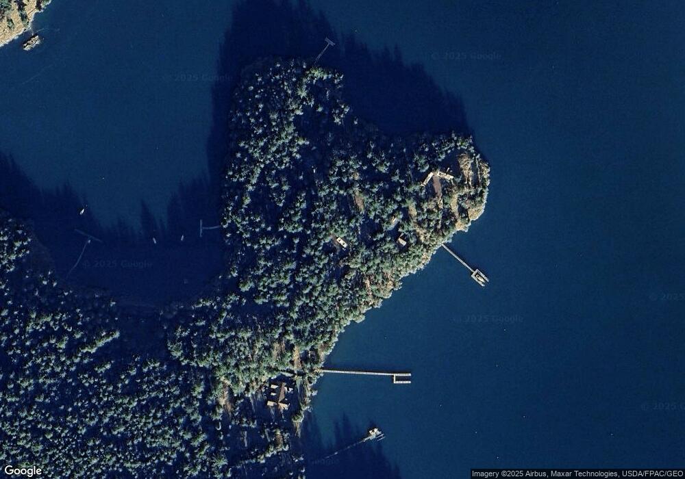
Map
Nearby Homes
- 98 Bufflehead Ln
- 1555 Yacht Haven Rd
- 1062 Yacht Haven Rd
- 120 De Haro Ln
- 16 Driftwood Dr
- 227 De Haro Ln
- 375 De Haro Ln
- 98 Armadale Rd Unit 209
- 98 Armadale Rd Unit 215
- 327 Twin Oaks Dr
- 258 Armadale Rd Unit 1
- 101 Ada's Alley
- 185 Briggs Rd
- 128 Twin Oaks Dr
- 934 Mitchell Bay Rd
- 295 Westcott Dr
- 449 Madrona Dr
- 92 Westcott Dr
- 265 Madrona Dr
- 309 Afterglow Dr