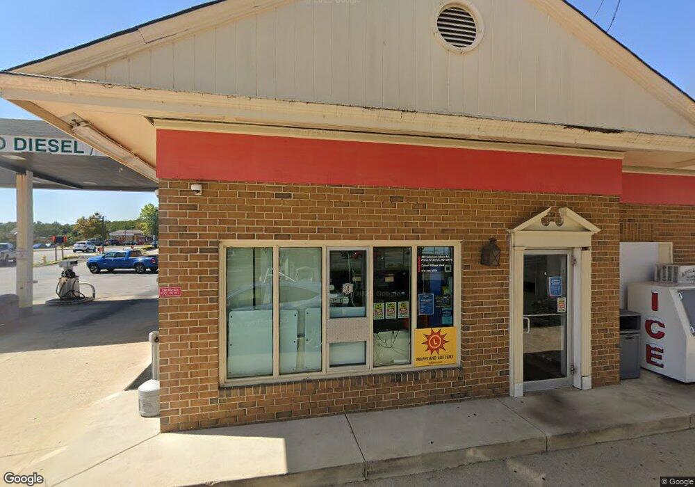
400 Solomons Island Rd N Prince Frederick, MD 20678
Estimated Value: $945,780
--
Bed
--
Bath
1,890
Sq Ft
$500/Sq Ft
Est. Value
About This Home
This home is located at 400 Solomons Island Rd N, Prince Frederick, MD 20678 and is currently estimated at $945,780, approximately $500 per square foot. 400 Solomons Island Rd N is a home located in Calvert County with nearby schools including Barstow Elementary School, Calvert Middle School, and Calvert High School.
Ownership History
Date
Name
Owned For
Owner Type
Purchase Details
Closed on
Nov 5, 2021
Sold by
The Gott Company
Bought by
State Of Maryland
Current Estimated Value
Purchase Details
Closed on
Aug 5, 2005
Sold by
Southern Md Oil Co Inc
Bought by
Gott Company The
Purchase Details
Closed on
Jul 31, 2005
Sold by
Southern Maryland Oil Inc
Bought by
Gott Co
Create a Home Valuation Report for This Property
The Home Valuation Report is an in-depth analysis detailing your home's value as well as a comparison with similar homes in the area
Home Values in the Area
Average Home Value in this Area
Purchase History
| Date | Buyer | Sale Price | Title Company |
|---|---|---|---|
| State Of Maryland | $19,800 | None Available | |
| Gott Company The | $650,000 | -- | |
| Gott Co | -- | None Available |
Source: Public Records
Tax History Compared to Growth
Tax History
| Year | Tax Paid | Tax Assessment Tax Assessment Total Assessment is a certain percentage of the fair market value that is determined by local assessors to be the total taxable value of land and additions on the property. | Land | Improvement |
|---|---|---|---|---|
| 2025 | $9,942 | $906,367 | $0 | $0 |
| 2024 | $9,745 | $888,600 | $619,800 | $268,800 |
| 2023 | $9,381 | $888,033 | $0 | $0 |
| 2022 | $9,372 | $887,467 | $0 | $0 |
| 2021 | $18,744 | $886,900 | $619,800 | $267,100 |
| 2020 | $8,986 | $846,867 | $0 | $0 |
| 2019 | $7,310 | $696,833 | $0 | $0 |
| 2018 | $6,890 | $656,800 | $509,800 | $147,000 |
| 2017 | $7,242 | $669,100 | $0 | $0 |
| 2016 | -- | $669,100 | $0 | $0 |
| 2015 | $7,079 | $676,100 | $0 | $0 |
| 2014 | $7,079 | $676,100 | $0 | $0 |
Source: Public Records
Map
Nearby Homes
- 185 Radio Dr
- 84 Potomac Ct
- The Benedict A Plan at Patuxent Commons
- The Benedict B2 Plan at Patuxent Commons
- The Benedict C Plan at Patuxent Commons
- 0 Armory Rd
- 379 Cambridge Place
- 362 Cambridge Place
- 592 Burr Oak Ct
- 579 English Oak Ln
- 49 Thoroughbred Dr
- 125 Polo Way
- 512 Falcon Place
- 365 Equestrian Way
- 447 Dark Star Way
- 103 Westlake Blvd
- 360 Whirlaway Dr
- 85 Mason Rd
- 667 Hawk Hill Dr
- 210 Buckler Rd
- 45 W Dares Beach Rd
- 404 Solomons Island Rd N
- 65 W Dares Beach Rd
- 410 Solomons Island Rd N
- 135 W Dares Beach Rd
- 135 W Dares Beach Rd Unit 109C
- 135 W Dares Beach Rd Unit 203
- 135 W Dares Beach Rd Unit 109 A
- 135 W Dares Beach Rd Unit 109B
- 135 W Dares Beach Rd Unit 207
- 135 W Dares Beach Rd Unit 202
- 135 W Dares Beach Rd Unit 101
- 135 W Dares Beach Rd Unit 210
- 135 W Dares Beach Rd Unit 209A
- 350 Solomons Island Rd N
- 105 W Dares Beach Rd Unit 109
- 424 Solomons Island Rd N
- 426 Solomons Island Rd N
- 165 Radio Dr
- 440 Solomons Island Rd N Unit 218