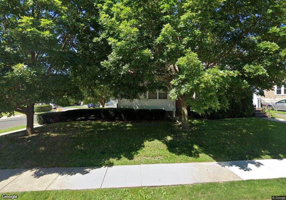
400 W Ashland Ave Glenolden, PA 19036
Estimated Value: $250,000 - $337,255
3
Beds
2
Baths
1,712
Sq Ft
$169/Sq Ft
Est. Value
About This Home
This home is located at 400 W Ashland Ave, Glenolden, PA 19036 and is currently estimated at $289,314, approximately $168 per square foot. 400 W Ashland Ave is a home located in Delaware County with nearby schools including Glenolden School, Interboro Senior High School, and Liberty Baptist Academy.
Ownership History
Date
Name
Owned For
Owner Type
Purchase Details
Closed on
Sep 15, 2006
Sold by
Hrynczyszyn Dorothy T
Bought by
Tomassian Sabouh and Tomassian Christine M
Current Estimated Value
Home Financials for this Owner
Home Financials are based on the most recent Mortgage that was taken out on this home.
Original Mortgage
$115,700
Outstanding Balance
$68,913
Interest Rate
6.52%
Mortgage Type
Purchase Money Mortgage
Estimated Equity
$220,401
Create a Home Valuation Report for This Property
The Home Valuation Report is an in-depth analysis detailing your home's value as well as a comparison with similar homes in the area
Home Values in the Area
Average Home Value in this Area
Purchase History
| Date | Buyer | Sale Price | Title Company |
|---|---|---|---|
| Tomassian Sabouh | $150,900 | None Available |
Source: Public Records
Mortgage History
| Date | Status | Borrower | Loan Amount |
|---|---|---|---|
| Open | Tomassian Sabouh | $115,700 |
Source: Public Records
Tax History Compared to Growth
Tax History
| Year | Tax Paid | Tax Assessment Tax Assessment Total Assessment is a certain percentage of the fair market value that is determined by local assessors to be the total taxable value of land and additions on the property. | Land | Improvement |
|---|---|---|---|---|
| 2025 | $6,038 | $168,370 | $54,000 | $114,370 |
| 2024 | $6,038 | $168,370 | $54,000 | $114,370 |
| 2023 | $5,907 | $168,370 | $54,000 | $114,370 |
| 2022 | $5,810 | $168,370 | $54,000 | $114,370 |
| 2021 | $8,198 | $168,370 | $54,000 | $114,370 |
| 2020 | $5,092 | $97,850 | $38,100 | $59,750 |
| 2019 | $5,036 | $97,850 | $38,100 | $59,750 |
| 2018 | $4,945 | $97,850 | $0 | $0 |
| 2017 | $4,836 | $97,850 | $0 | $0 |
| 2016 | $548 | $97,850 | $0 | $0 |
| 2015 | $548 | $97,850 | $0 | $0 |
| 2014 | $537 | $97,850 | $0 | $0 |
Source: Public Records
Map
Nearby Homes
- 419 Custer Ave
- 1 S Macdade Blvd
- 3 S Bonsall Ave
- 27 N Macdade Blvd
- 4 S Academy Ave
- 620 S Garfield Ave
- 604 Crescent Dr
- 3 W Cooke Ave
- 23 W Knowles Ave
- 125 N Scott Ave
- 46 E Knowles Ave
- 1212 Macdade Blvd
- 464 Andrews Ave
- 27 S Woodland Ave
- 428 Adair Rd
- 128 E Cooke Ave
- 102 Rambler Rd
- 210 E Ashland Ave
- 119 Isabel Ave
- 323 S Chester Pike
- 402 W Ashland Ave
- 32 Lamont Ave
- 3 S Wells Ave
- 406 W Ashland Ave
- 5 S Wells Ave
- 7 S Wells Ave
- 1 N Wells Ave
- 9 S Wells Ave
- 1 S Wells Ave
- 11 S Wells Ave
- 401 Custer Ave
- 408 W Ashland Ave
- 403 Custer Ave
- 13 S Wells Ave
- 405 Custer Ave
- 10 N Wells Ave
- 407 Custer Ave
- 15 S Wells Ave
- 410 W Ashland Ave
- 409 Custer Ave