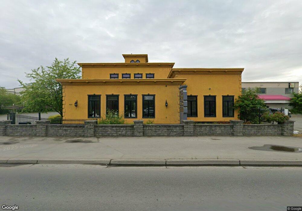
400 W International Airport Rd Anchorage, AK 99518
Taku-Campbell Neighborhood
--
Bed
--
Bath
12,384
Sq Ft
0.85
Acres
About This Home
This home is located at 400 W International Airport Rd, Anchorage, AK 99518. 400 W International Airport Rd is a home located in Anchorage Municipality with nearby schools including Campbell Elementary School, Romig Middle School, and West High School.
Ownership History
Date
Name
Owned For
Owner Type
Purchase Details
Closed on
Jun 13, 2019
Sold by
Duchessa Inc
Bought by
Front Point Invest Llc
Home Financials for this Owner
Home Financials are based on the most recent Mortgage that was taken out on this home.
Original Mortgage
$2,255,000
Outstanding Balance
$1,971,337
Interest Rate
3.82%
Create a Home Valuation Report for This Property
The Home Valuation Report is an in-depth analysis detailing your home's value as well as a comparison with similar homes in the area
Home Values in the Area
Average Home Value in this Area
Purchase History
| Date | Buyer | Sale Price | Title Company |
|---|---|---|---|
| Front Point Invest Llc | -- | -- |
Source: Public Records
Mortgage History
| Date | Status | Borrower | Loan Amount |
|---|---|---|---|
| Open | Front Point Invest Llc | $2,255,000 | |
| Closed | Front Point Invest Llc | $2,255,000 |
Source: Public Records
Tax History Compared to Growth
Tax History
| Year | Tax Paid | Tax Assessment Tax Assessment Total Assessment is a certain percentage of the fair market value that is determined by local assessors to be the total taxable value of land and additions on the property. | Land | Improvement |
|---|---|---|---|---|
| 2025 | $28,146 | $1,961,600 | $686,100 | $1,275,500 |
| 2024 | $28,146 | $1,743,300 | $686,100 | $1,057,200 |
| 2023 | $28,881 | $1,695,900 | $659,800 | $1,036,100 |
| 2022 | $27,700 | $1,644,900 | $651,100 | $993,800 |
| 2021 | $30,832 | $1,711,000 | $638,300 | $1,072,700 |
| 2020 | $30,619 | $1,801,100 | $625,800 | $1,175,300 |
| 2019 | $28,399 | $1,735,900 | $613,300 | $1,122,600 |
| 2018 | $28,303 | $1,725,800 | $613,300 | $1,112,500 |
| 2017 | $27,109 | $1,731,100 | $613,300 | $1,117,800 |
| 2016 | $26,654 | $1,660,700 | $613,300 | $1,047,400 |
| 2015 | $26,654 | $1,639,600 | $613,300 | $1,026,300 |
| 2014 | $26,654 | $1,624,200 | $613,300 | $1,010,900 |
Source: Public Records
Map
Nearby Homes
- 461 Atlantis Ave
- 4810 C St
- 4904 Cambridge Way
- 000 E 64th Ave
- 4721 Denali St
- 420 E 56th Ave Unit 7H
- 943 Westbury Dr
- 5545 Fairbanks St
- 500 Tyee Cir
- 4101 Credit Union Dr
- 000 W 64th Ave
- 311 Lynnwood Dr Unit 4
- 4207 Cope St
- 4106 N Star St
- 4113 Cope St
- 1507 W 47th Ave
- 4102 Cope St
- 4101 Gilmore Ct
- 4006 Gilmore Ct
- 714 Fischer Ave
- 400 W International Airport Rd Unit 2nd Floor
- 400 W International Airport Rd Unit 1st Floor
- 400 W International Airport Rd
- 400 W International Airport Rd
- 401 W Intl
- 401 W Intl Unit 5-8&10
- 500 W International
- 500 W International Rd
- 500 W International Airport Rd Unit 200
- 500 W International Airport Rd
- 500 W International Airport Rd Unit B
- 512 W International Arprt
- 512 W International Rd
- 512 W International Rd
- 512 W International Airport Rd
- 512 W International Airport Rd Unit 200
- 412 W 53rd Ave
- 412 W 53rd Ave Unit B
- 524 W International Arpt
- 524 W International Arprt