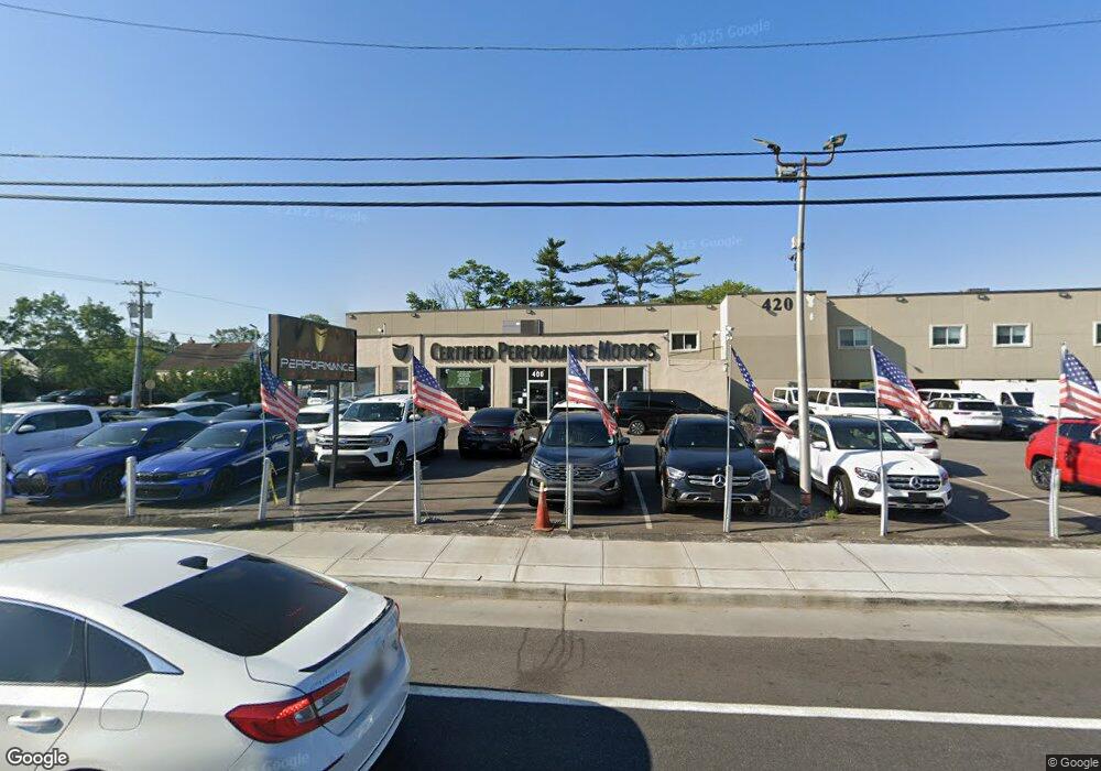
400 W Merrick Rd Valley Stream, NY 11580
--
Bed
--
Bath
2,168
Sq Ft
0.43
Acres
About This Home
This home is located at 400 W Merrick Rd, Valley Stream, NY 11580. 400 W Merrick Rd is a home located in Nassau County with nearby schools including Holy Name of Mary School, Valley Stream Christian Academy, and Martin De Porres High School.
Ownership History
Date
Name
Owned For
Owner Type
Purchase Details
Closed on
Mar 29, 2019
Sold by
Ambulnz Re 1 Llc
Bought by
400 Merrick Llc
Purchase Details
Closed on
Feb 8, 2018
Sold by
400 West Marricke Rd Llc
Bought by
Ambulnz Re 1 Llc
Purchase Details
Closed on
Mar 11, 2011
Sold by
Partnership Moret
Bought by
400 W Merrick Road Llc
Purchase Details
Closed on
Apr 19, 2010
Sold by
Steven D Conkling As Treasurer Of The
Bought by
Noret Partnership
Purchase Details
Closed on
Mar 19, 2007
Sold by
Lia Don
Bought by
400 West Merrick Road Llc
Create a Home Valuation Report for This Property
The Home Valuation Report is an in-depth analysis detailing your home's value as well as a comparison with similar homes in the area
Home Values in the Area
Average Home Value in this Area
Purchase History
| Date | Buyer | Sale Price | Title Company |
|---|---|---|---|
| 400 Merrick Llc | $1,075,000 | None Available | |
| Ambulnz Re 1 Llc | -- | -- | |
| 400 W Merrick Road Llc | $70,000 | -- | |
| Noret Partnership | $4,530 | -- | |
| 400 West Merrick Road Llc | $750,000 | -- |
Source: Public Records
Tax History Compared to Growth
Tax History
| Year | Tax Paid | Tax Assessment Tax Assessment Total Assessment is a certain percentage of the fair market value that is determined by local assessors to be the total taxable value of land and additions on the property. | Land | Improvement |
|---|---|---|---|---|
| 2025 | $40,495 | $5,297 | $3,206 | $2,091 |
| 2024 | $6,493 | $5,679 | $3,437 | $2,242 |
| 2023 | $41,608 | $5,679 | $3,437 | $2,242 |
| 2022 | $41,608 | $5,679 | $3,437 | $2,242 |
| 2021 | $61,651 | $5,307 | $3,212 | $2,095 |
| 2020 | $40,646 | $4,681 | $4,029 | $652 |
| 2019 | $8,891 | $4,681 | $4,029 | $652 |
| 2018 | $16,195 | $4,681 | $0 | $0 |
| 2017 | $33,811 | $4,681 | $4,029 | $652 |
| 2016 | $50,081 | $4,681 | $4,029 | $652 |
| 2015 | $6,905 | $4,681 | $4,029 | $652 |
| 2014 | $6,905 | $4,681 | $4,029 | $652 |
| 2013 | $6,412 | $4,681 | $4,029 | $652 |
Source: Public Records
Map
Nearby Homes
- 42 S Montague St
- 76 S Montgomery St
- 58 Camdike St
- 134 Martens Ave
- 73 Hamilton Ave
- 58 N Montague St
- 122 Hoffman St
- 114 Camdike St
- 168 Martens Ave
- 58 Cohill Rd
- 147 S Terrace Place
- 82 Bucknell Rd
- 86 Clearstream Ave
- 147 S Montgomery St
- 110 Buscher Ave
- 181 Martens Ave
- 35 Marlow Rd
- 23 Marlow Rd
- 112 Casper St
- 84 Meyer Ave
- 157 Buscher Ave
- 36 S Waldinger St
- 159 Buscher Ave
- 29 S Montague St
- 19 S Waldinger St
- 444 W Merrick Rd
- 23 S Waldinger St
- 430 W Merrick Rd
- 440 W Merrick Rd
- 440 Merrick Rd
- 27 S Waldinger St
- 156 Buscher Ave
- 158 Buscher Ave
- 42 S Waldinger St
- 37 S Montague St
- 37 S Montague St
- 18 N Waldinger St
- 33 S Waldinger St
- 20 S Montgomery St
- 15 N Montague St