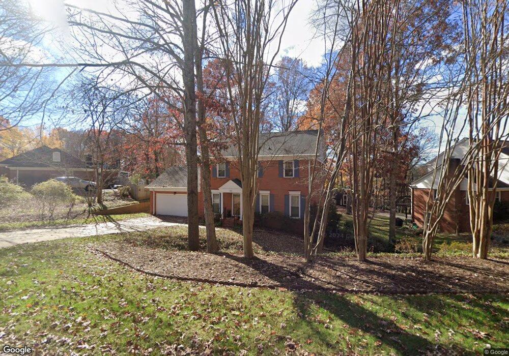
400 Walnut Point Dr Matthews, NC 28105
Estimated Value: $494,000 - $670,000
4
Beds
3
Baths
2,197
Sq Ft
$253/Sq Ft
Est. Value
About This Home
This home is located at 400 Walnut Point Dr, Matthews, NC 28105 and is currently estimated at $555,778, approximately $252 per square foot. 400 Walnut Point Dr is a home located in Mecklenburg County with nearby schools including Elizabeth Lane Elementary, South Charlotte Middle, and Providence High.
Ownership History
Date
Name
Owned For
Owner Type
Purchase Details
Closed on
Jul 9, 2021
Sold by
Roos John E and Roos Abigail L
Bought by
Roos Daniel and Roos Carly Moon
Current Estimated Value
Home Financials for this Owner
Home Financials are based on the most recent Mortgage that was taken out on this home.
Original Mortgage
$183,200
Outstanding Balance
$166,226
Interest Rate
2.9%
Mortgage Type
New Conventional
Estimated Equity
$389,552
Purchase Details
Closed on
Dec 28, 1993
Bought by
Roos John E and Roos Abigail L
Create a Home Valuation Report for This Property
The Home Valuation Report is an in-depth analysis detailing your home's value as well as a comparison with similar homes in the area
Home Values in the Area
Average Home Value in this Area
Purchase History
| Date | Buyer | Sale Price | Title Company |
|---|---|---|---|
| Roos Daniel | $330,000 | Chicago Title Insurance Co | |
| Roos John E | $140,000 | -- |
Source: Public Records
Mortgage History
| Date | Status | Borrower | Loan Amount |
|---|---|---|---|
| Open | Roos Daniel | $183,200 |
Source: Public Records
Tax History
| Year | Tax Paid | Tax Assessment Tax Assessment Total Assessment is a certain percentage of the fair market value that is determined by local assessors to be the total taxable value of land and additions on the property. | Land | Improvement |
|---|---|---|---|---|
| 2025 | $3,681 | $484,500 | $100,000 | $384,500 |
| 2024 | $3,681 | $484,500 | $100,000 | $384,500 |
| 2023 | $3,628 | $484,500 | $100,000 | $384,500 |
| 2022 | $3,112 | $336,900 | $90,000 | $246,900 |
| 2021 | $3,022 | $336,900 | $90,000 | $246,900 |
| 2020 | $3,022 | $336,900 | $90,000 | $246,900 |
| 2019 | $3,055 | $336,900 | $90,000 | $246,900 |
| 2018 | $2,852 | $239,700 | $67,900 | $171,800 |
| 2017 | $2,794 | $239,700 | $67,900 | $171,800 |
| 2016 | $2,791 | $239,700 | $67,900 | $171,800 |
| 2015 | $2,787 | $232,300 | $67,900 | $164,400 |
| 2014 | $2,483 | $217,800 | $61,800 | $156,000 |
Source: Public Records
Map
Nearby Homes
- 425 Clairview Ln
- 440 Bubbling Well Rd
- 609 Fredricksburg Rd
- 803 Elizabeth Ln
- 101 Umi Ct
- 8215 Schooner Ln
- 8207 Schooner Ln
- 1062 Elizabeth Manor Ct
- 614 Ashgrove Ln
- 429 Eberle Way
- 1015 Chelsea Place
- 115 Chesney Glen Dr
- 1405 Elmsford Ln
- 2601 Rustic Ridge Ct
- 1300 Reverdy Ln Unit 2
- 2310 Keara Way
- 1216 Reverdy Ln Unit 5
- 2319 Maynard Rd
- 540 Harrogate Rd
- 3218 Pollard Ct
- 340 Walnut Point Dr
- 414 Walnut Point Dr
- 321 Bramwell Place
- 321 Bramwell Place Unit 83
- 332 Walnut Point Dr
- 326 Bramwell Place
- 409 Walnut Point Dr
- 401 Walnut Point Dr
- 424 Walnut Point Dr
- 417 Walnut Point Dr
- 240 Linville Dr
- 313 Bramwell Place
- 251 Linville Dr
- 320 Walnut Point Dr
- 425 Walnut Point Dr
- 322 Bramwell Place
- 223 Hampden Ln
- 434 Walnut Point Dr
- 240 Walnut Point Dr
- 241 Linville Dr
Your Personal Tour Guide
Ask me questions while you tour the home.