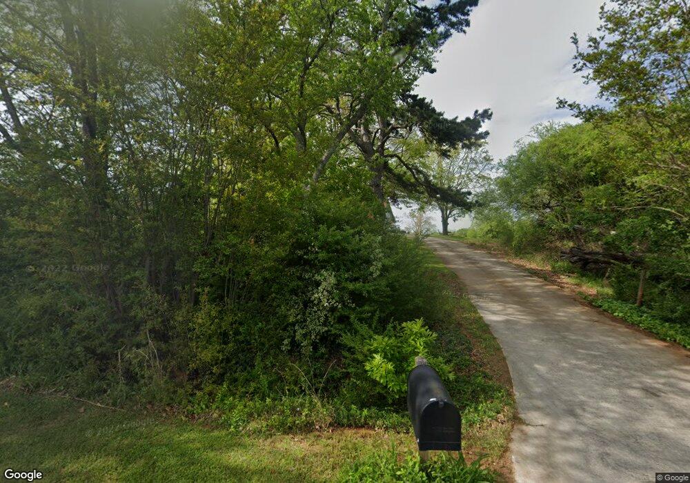
4000 Carter Rd Buford, GA 30518
Estimated Value: $817,000 - $1,105,000
5
Beds
3
Baths
6,030
Sq Ft
$158/Sq Ft
Est. Value
About This Home
This home is located at 4000 Carter Rd, Buford, GA 30518 and is currently estimated at $951,501, approximately $157 per square foot. 4000 Carter Rd is a home with nearby schools including Buford Elementary School, Buford Academy, and Buford Senior Academy.
Ownership History
Date
Name
Owned For
Owner Type
Purchase Details
Closed on
Oct 31, 2022
Sold by
Simpson Laura B
Bought by
Simpson Robert L and Simpson Karen E
Current Estimated Value
Purchase Details
Closed on
May 19, 2021
Sold by
Simpson Robert Lee Jr Estate
Bought by
Simpson Laura B and Simpson Karen E
Purchase Details
Closed on
Apr 22, 2014
Sold by
Simpson Robert L
Bought by
Simpson Robert L and Simpson Laura B
Purchase Details
Closed on
May 12, 2003
Sold by
Simpson Robert L and Simpson Laura B
Bought by
Simpson Juanita C
Purchase Details
Closed on
Jan 25, 2000
Sold by
Simpson Robert Lee and Simpson Laura B
Bought by
Simpson Robert L and Simpson Michelle R
Create a Home Valuation Report for This Property
The Home Valuation Report is an in-depth analysis detailing your home's value as well as a comparison with similar homes in the area
Home Values in the Area
Average Home Value in this Area
Purchase History
| Date | Buyer | Sale Price | Title Company |
|---|---|---|---|
| Simpson Robert L | -- | -- | |
| Simpson Laura B | -- | -- | |
| Simpson Robert L | -- | -- | |
| Simpson Juanita C | -- | -- | |
| Simpson Robert L | -- | -- |
Source: Public Records
Tax History Compared to Growth
Tax History
| Year | Tax Paid | Tax Assessment Tax Assessment Total Assessment is a certain percentage of the fair market value that is determined by local assessors to be the total taxable value of land and additions on the property. | Land | Improvement |
|---|---|---|---|---|
| 2024 | $7,421 | $354,120 | $61,920 | $292,200 |
| 2023 | $2,927 | $346,240 | $61,920 | $284,320 |
| 2022 | $2,559 | $281,440 | $61,920 | $219,520 |
| 2021 | $2,056 | $215,080 | $53,840 | $161,240 |
| 2020 | $2,025 | $207,200 | $53,840 | $153,360 |
| 2019 | $2,045 | $204,200 | $53,840 | $150,360 |
| 2018 | $2,086 | $203,040 | $53,840 | $149,200 |
| 2017 | $2,106 | $197,360 | $53,840 | $143,520 |
| 2016 | $1,914 | $197,360 | $53,840 | $143,520 |
| 2015 | $2,357 | $346,682 | $169,160 | $177,522 |
| 2014 | $2,357 | $242,042 | $64,520 | $177,522 |
Source: Public Records
Map
Nearby Homes
- 3972 Crimson Ridge Way
- 3968 Crimson Ridge Way
- 3976 Crimson Ridge Way
- 3964 Crimson Ridge Way
- 4022 Carter Rd Unit 15181518
- 3980 Crimson Ridge Way
- 3812 Mabry Ridge Dr
- 3960 Crimson Ridge Way Unit 59
- 3960 Crimson Ridge Way
- 3808 Mabry Ridge Dr
- 3816 Mabry Ridge Dr Unit 64
- 3804 Mabry Ridge Dr
- 3820 Mabry Ridge Dr Unit 63
- 3820 Mabry Ridge Dr Unit 63
- 3820 Mabry Ridge Dr
- 3820 Mabry Ridge Dr
- 3956 Crimson Ridge Way
- 3824 Mabry Ridge Dr
- 3988 Crimson Ridge Way
- 3971 Crimson Ridge Way
