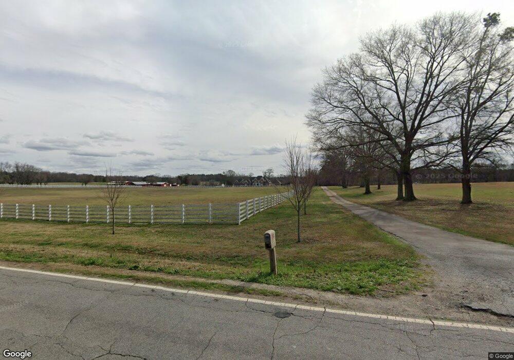
4000 Jackson Rd Griffin, GA 30223
Spalding County NeighborhoodEstimated Value: $710,000 - $2,527,361
5
Beds
5
Baths
6,597
Sq Ft
$248/Sq Ft
Est. Value
About This Home
This home is located at 4000 Jackson Rd, Griffin, GA 30223 and is currently estimated at $1,633,454, approximately $247 per square foot. 4000 Jackson Rd is a home located in Spalding County with nearby schools including Jackson Road Elementary School, Kennedy Road Middle School, and Spalding High School.
Ownership History
Date
Name
Owned For
Owner Type
Purchase Details
Closed on
May 25, 2016
Sold by
Kopp Enterprises Ii Lp Ii
Bought by
Peters James E L
Current Estimated Value
Purchase Details
Closed on
Mar 23, 1978
Sold by
Powell Colwell E and Powell Powell
Bought by
Colwell Linda V
Purchase Details
Closed on
May 16, 1975
Sold by
Lamar Colwell E and Lamar M
Bought by
Colwell Colwell E and Colwell Linda V
Purchase Details
Closed on
Nov 12, 1970
Sold by
Eaton Eaton F and Eaton Dena
Bought by
Lamar Colwell E and Lamar M
Create a Home Valuation Report for This Property
The Home Valuation Report is an in-depth analysis detailing your home's value as well as a comparison with similar homes in the area
Home Values in the Area
Average Home Value in this Area
Purchase History
| Date | Buyer | Sale Price | Title Company |
|---|---|---|---|
| Peters James E L | $900,000 | -- | |
| Colwell Linda V | $7,500 | -- | |
| Colwell Colwell E | -- | -- | |
| Lamar Colwell E | $55,000 | -- |
Source: Public Records
Tax History Compared to Growth
Tax History
| Year | Tax Paid | Tax Assessment Tax Assessment Total Assessment is a certain percentage of the fair market value that is determined by local assessors to be the total taxable value of land and additions on the property. | Land | Improvement |
|---|---|---|---|---|
| 2024 | $17,086 | $816,874 | $217,472 | $599,402 |
| 2023 | $17,086 | $777,088 | $209,548 | $567,540 |
| 2022 | $18,501 | $690,906 | $190,495 | $500,411 |
| 2021 | $13,386 | $604,414 | $187,910 | $416,504 |
| 2020 | $15,439 | $573,736 | $187,910 | $385,826 |
| 2019 | $13,808 | $522,499 | $187,910 | $334,589 |
| 2018 | $13,303 | $500,588 | $187,910 | $312,678 |
| 2017 | $9,572 | $500,588 | $187,910 | $312,678 |
| 2016 | $17,827 | $471,126 | $187,910 | $283,215 |
| 2015 | $18,361 | $471,126 | $187,910 | $283,215 |
| 2014 | $18,727 | $471,126 | $187,910 | $283,215 |
Source: Public Records
Map
Nearby Homes
- 4480 Jackson Rd
- 2539 Locust Grove Rd
- 130 Mcintosh Trail
- 1015 Dutchman Rd
- 124 Deerwood Cir
- 231 Anglin Rd
- 1015 N Walkers Mill Rd
- 860 N Walkers Mill Rd
- 1465 N Mcdonough Rd
- 100 Mimosa Rd
- 1020 Queens Bridge Way
- 486 Hickory Cir
- 414 Allison Dr
- 615 N Mcdonough Rd
- 1017 Queens Bridge Way
- 1015 Queens Bridge Way
- 907 Parham Rd
- 2050 N Mcdonough Rd
- 2270 N Mcdonough Rd
- 1002 Queens Bridge Way
- 4200 Jackson Rd
- 159 Wisso Rd
- 4263 Jackson Rd
- 161 Wisso Rd
- 2676 Locust Grove Rd
- 2676 Locust Grove Rd
- 2676 Locust Grove Rd
- 228 Wisso Rd
- 167 Wisso Rd
- 2709 Locust Grove Rd
- 3894 N Walker's Mill Rd
- 2678 Locust Grove Rd
- 2668 Locust Grove Rd
- 2670 Locust Grove Rd
- 169 Wisso Rd
- 2672 Locust Grove Rd
- 2666 Locust Grove Rd
- 235 Wisso Rd
- 2662 Locust Grove Rd
- 4388 Jackson Rd
