4000 Millside Rd Laurel Hill, FL 32567
Estimated Value: $556,000 - $1,009,310
4
Beds
3
Baths
3,961
Sq Ft
$213/Sq Ft
Est. Value
About This Home
This home is located at 4000 Millside Rd, Laurel Hill, FL 32567 and is currently estimated at $843,103, approximately $212 per square foot. 4000 Millside Rd is a home located in Okaloosa County with nearby schools including Laurel Hill School.
Ownership History
Date
Name
Owned For
Owner Type
Purchase Details
Closed on
Apr 21, 2025
Sold by
Williams Joseph M and Williams Michael
Bought by
Williams Michael and Williams Theresa Gayle
Current Estimated Value
Purchase Details
Closed on
Feb 3, 2025
Sold by
Williams Joseph M and Williams Michael
Bought by
Williams Michael and Williams Theresa Gayle
Purchase Details
Closed on
Mar 16, 2011
Sold by
Williams Margaret A and Williams Joseph M
Bought by
Williams Michael and Williams Joseph M
Create a Home Valuation Report for This Property
The Home Valuation Report is an in-depth analysis detailing your home's value as well as a comparison with similar homes in the area
Home Values in the Area
Average Home Value in this Area
Purchase History
| Date | Buyer | Sale Price | Title Company |
|---|---|---|---|
| Williams Michael | $100 | None Listed On Document | |
| Williams Michael | $100 | None Listed On Document | |
| Williams Michael | -- | None Available |
Source: Public Records
Tax History
| Year | Tax Paid | Tax Assessment Tax Assessment Total Assessment is a certain percentage of the fair market value that is determined by local assessors to be the total taxable value of land and additions on the property. | Land | Improvement |
|---|---|---|---|---|
| 2025 | $4,597 | $478,987 | -- | -- |
| 2024 | $4,130 | $465,640 | -- | -- |
| 2023 | $4,130 | $452,235 | $0 | $0 |
| 2022 | $4,042 | $439,220 | $0 | $0 |
| 2021 | $4,045 | $424,964 | $0 | $0 |
| 2020 | $2,792 | $299,009 | $11,347 | $287,662 |
| 2019 | $2,769 | $292,279 | $11,257 | $281,022 |
| 2018 | $2,750 | $286,986 | $0 | $0 |
| 2017 | $2,744 | $281,249 | $0 | $0 |
| 2016 | $2,669 | $275,542 | $0 | $0 |
| 2015 | $2,737 | $273,563 | $0 | $0 |
| 2014 | $2,749 | $271,331 | $0 | $0 |
Source: Public Records
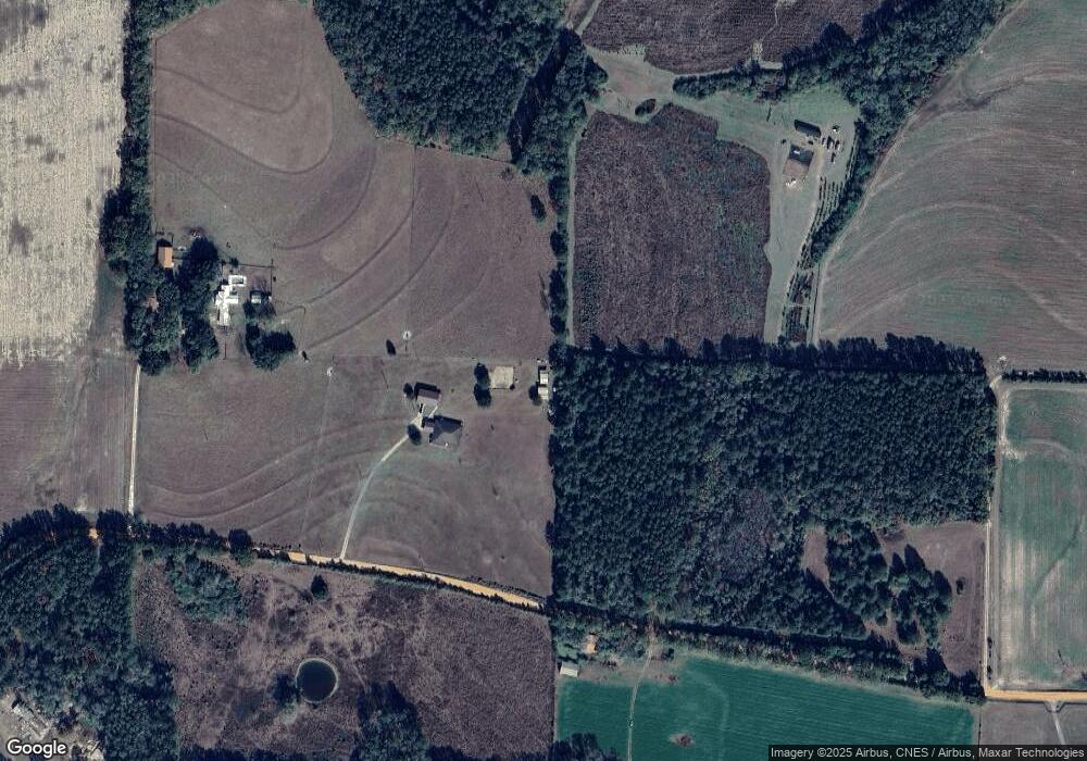
Map
Nearby Homes
- Parcel A Millside Rd
- 261.6 ac Millside Rd
- Parcel E Millside Rd
- B & D Millside Rd
- Parcel B Millside Rd
- Parcel D Millside Rd
- Parcel L Buck Tyner Rd
- Parcel K Buck Tyner Rd
- 8084 3rd St
- XX N Suttles Dr
- 8086 3rd St
- 8090 3rd St
- 7419 Pappa Lawrence Rd
- 70 8th St
- 8102 5th St
- 363 Acres Florida 85
- 00 Florida 85
- XX Florida 85
- 12 Acres Florida 85 Unit Lot 1
- 8185 4th St
- 7703 Honey Suckle Ln
- 3982 Millside Rd
- 3972 Millside Rd
- 4129 Millside Rd
- 3960 Millside Rd
- TBD Millside Rd
- 238 AC +/- Millside Rd
- 7605 Buck Tyner Rd
- 7569 Ross Clark Rd
- 4166 Millside Rd Unit B
- 4166 Millside Rd
- 7796 Steel Mill Creek Rd
- 00 Henderson Rd
- 298 Ac Caveman Rd
- 0 Xxx 2nd St Unit 823530
- 0 Xxxx One Bridge Rd Unit 818796
- 0 Tbd Luke Ln Unit 839163
- 117 Ac Welannee Blvd
- 181 Ac-E2 Caveman Rd
- 3939 Millside Rd
Your Personal Tour Guide
Ask me questions while you tour the home.