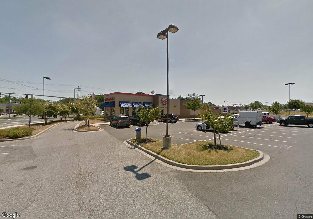
4001 N Point Blvd Baltimore, MD 21222
Estimated Value: $2,163,000
--
Bed
--
Bath
2,879
Sq Ft
$751/Sq Ft
Est. Value
About This Home
This home is located at 4001 N Point Blvd, Baltimore, MD 21222 and is currently priced at $2,163,000, approximately $751 per square foot. 4001 N Point Blvd is a home located in Baltimore County with nearby schools including Battle Grove Elementary, Sparrows Point Middle School, and Sparrows Point High School.
Ownership History
Date
Name
Owned For
Owner Type
Purchase Details
Closed on
Aug 26, 2013
Sold by
4001 North Point Business Trust
Bought by
North Point Lot 6 Llc
Current Estimated Value
Create a Home Valuation Report for This Property
The Home Valuation Report is an in-depth analysis detailing your home's value as well as a comparison with similar homes in the area
Home Values in the Area
Average Home Value in this Area
Purchase History
| Date | Buyer | Sale Price | Title Company |
|---|---|---|---|
| North Point Lot 6 Llc | -- | Residential Title & Escrow C | |
| North Point Lot 1R Llc | -- | Residential Title & Escrow C |
Source: Public Records
Tax History Compared to Growth
Tax History
| Year | Tax Paid | Tax Assessment Tax Assessment Total Assessment is a certain percentage of the fair market value that is determined by local assessors to be the total taxable value of land and additions on the property. | Land | Improvement |
|---|---|---|---|---|
| 2025 | $14,974 | $1,166,800 | -- | -- |
| 2024 | $14,974 | $1,143,200 | $0 | $0 |
| 2023 | $7,318 | $1,119,600 | $500,000 | $619,600 |
| 2022 | $12,607 | $1,119,600 | $500,000 | $619,600 |
| 2021 | $11,557 | $1,119,600 | $500,000 | $619,600 |
| 2020 | $13,763 | $1,135,600 | $500,000 | $635,600 |
| 2019 | $13,679 | $1,128,600 | $0 | $0 |
| 2018 | $16,797 | $1,121,600 | $0 | $0 |
| 2017 | $15,509 | $1,114,600 | $0 | $0 |
| 2016 | $14,318 | $1,100,767 | $0 | $0 |
| 2015 | $14,318 | $1,086,933 | $0 | $0 |
| 2014 | $14,318 | $1,073,100 | $0 | $0 |
Source: Public Records
Map
Nearby Homes
- 7723 Town View Dr
- 7719 Town View Dr
- 7607 Town View Dr
- 7706 Village Park Dr
- 3933 N Point Rd
- 7656 Old Battle Grove Rd
- 4045 Saint Monica Dr
- 7431 Saint Patricia Ct
- 7849 Saint Claire Ln
- 7865 Saint Bridget Ln
- 7813 Saint Bridget Ln
- 7808 Deboy Ave
- 901 Forwood Ct
- 7813 New Battle Grove Rd
- 3707 N Point Rd
- 700 Gregwood Ct
- 808 Leswood Ct
- 715 Gregwood Ct
- 124 Briarwood Rd
- 8216 Beach Dr
- 74187420 Old Battle Grove Rd
- 4003 N Point Blvd
- 7735 Town View Dr
- 7731 Town View Dr
- 7733 Town View Dr
- 7715 Battle Grove Cir
- 7715 Old Battle Grove Rd
- 7729 Town View Dr
- 7727 Town View Dr
- 7713 Battle Grove Cir
- 7725 Town View Dr
- 7716 Town View Dr
- 7721 Town View Dr Unit BC9515040
- 7721 Town View Dr
- 7721 Town View Dr Unit 1002762558
- 7732 Village Park Dr
- 7714 Town View Dr
- 7712 Old Battle Grove Rd
- 7730 Village Park Dr
- 7728 Village Park Dr