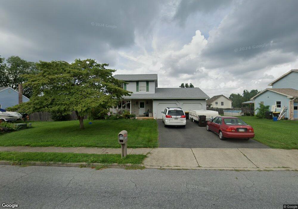
4003 Carter Rd Bethlehem, PA 18020
Estimated Value: $307,000 - $397,642
3
Beds
2
Baths
1,430
Sq Ft
$251/Sq Ft
Est. Value
About This Home
This home is located at 4003 Carter Rd, Bethlehem, PA 18020 and is currently estimated at $358,661, approximately $250 per square foot. 4003 Carter Rd is a home located in Northampton County with nearby schools including East Hills Middle School, Freedom High School, and Bethlehem Christian School.
Ownership History
Date
Name
Owned For
Owner Type
Purchase Details
Closed on
Oct 29, 2008
Sold by
Squire Daniel Nathan
Bought by
Squire Daniel Nathan and Squire Analia R
Current Estimated Value
Purchase Details
Closed on
Oct 27, 2008
Sold by
The Bank Of New York Trust Company Na
Bought by
Squire Daniel
Purchase Details
Closed on
Feb 18, 2008
Sold by
Stevenson Rory P and Stevenson Kelly S
Bought by
The Bank Of New York Trust Co Na
Create a Home Valuation Report for This Property
The Home Valuation Report is an in-depth analysis detailing your home's value as well as a comparison with similar homes in the area
Home Values in the Area
Average Home Value in this Area
Purchase History
| Date | Buyer | Sale Price | Title Company |
|---|---|---|---|
| Squire Daniel Nathan | $151,500 | None Available | |
| Squire Daniel | $151,500 | None Available | |
| The Bank Of New York Trust Co Na | $1,393 | None Available |
Source: Public Records
Tax History Compared to Growth
Tax History
| Year | Tax Paid | Tax Assessment Tax Assessment Total Assessment is a certain percentage of the fair market value that is determined by local assessors to be the total taxable value of land and additions on the property. | Land | Improvement |
|---|---|---|---|---|
| 2025 | $674 | $62,400 | $18,600 | $43,800 |
| 2024 | $4,789 | $62,400 | $18,600 | $43,800 |
| 2023 | $4,804 | $62,400 | $18,600 | $43,800 |
| 2022 | $4,761 | $62,400 | $18,600 | $43,800 |
| 2021 | $4,724 | $62,400 | $18,600 | $43,800 |
| 2020 | $4,730 | $62,400 | $18,600 | $43,800 |
| 2019 | $4,712 | $62,400 | $18,600 | $43,800 |
| 2018 | $4,583 | $62,400 | $18,600 | $43,800 |
| 2017 | $4,551 | $62,400 | $18,600 | $43,800 |
| 2016 | -- | $62,400 | $18,600 | $43,800 |
| 2015 | -- | $62,400 | $18,600 | $43,800 |
| 2014 | -- | $62,400 | $18,600 | $43,800 |
Source: Public Records
Map
Nearby Homes
- 2525 10th St
- 3911 Dewalt St
- 4139 Coleman St
- 4141 Walter Rd
- 3608 Carter Rd
- 4300 Laurel Ct
- 2118 8th St
- 3612 Orth St
- 3935 Linden St
- 2118 6th St
- 2730 Farmersville Rd
- 3973 Kenrick Dr
- 4011 Ferncroft Ln
- 1819 10th St
- 4006 Easton Ave
- 3331 Walnut St
- 5200 Freemansburg Ave Unit 58
- 5200 Freemansburg Ave Unit 39
- 5200 Freemansburg Ave Unit 47
- 4420 Pheasant Run Ct
- 4005 Carter Rd
- 3945 Carter Rd
- 4002 Suncrest Ln
- 4012 Suncrest Ln
- 3972 Suncrest Ln
- 4020 Suncrest Ln
- 3935 Carter Rd
- 4000 Carter Rd
- 4004 Carter Rd
- 2520 14th St
- 3962 Suncrest Ln
- 4030 Suncrest Ln
- 4001 Suncrest Ln
- 4011 Suncrest Ln
- 3973 Suncrest Ln
- 2510 14th St
- 3933 Carter Republic Rd
- 3933 Carter Rd
- 3963 Suncrest Ln
- 2500 Steven St