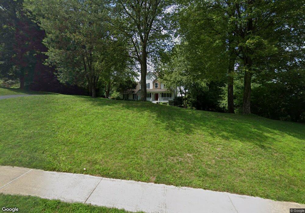
4003 Katie Ln Downingtown, PA 19335
Estimated Value: $541,000 - $635,000
4
Beds
3
Baths
2,321
Sq Ft
$256/Sq Ft
Est. Value
About This Home
This home is located at 4003 Katie Ln, Downingtown, PA 19335 and is currently estimated at $593,513, approximately $255 per square foot. 4003 Katie Ln is a home located in Chester County with nearby schools including Caln Elementary School, Coatesville Intermediate High School, and Coatesville Area Senior High School.
Ownership History
Date
Name
Owned For
Owner Type
Purchase Details
Closed on
Sep 28, 2001
Sold by
P & B Developers Caln Inc
Bought by
Lane Michael A and Lane Melissa B
Current Estimated Value
Home Financials for this Owner
Home Financials are based on the most recent Mortgage that was taken out on this home.
Original Mortgage
$189,470
Outstanding Balance
$74,382
Interest Rate
6.93%
Estimated Equity
$519,131
Create a Home Valuation Report for This Property
The Home Valuation Report is an in-depth analysis detailing your home's value as well as a comparison with similar homes in the area
Home Values in the Area
Average Home Value in this Area
Purchase History
| Date | Buyer | Sale Price | Title Company |
|---|---|---|---|
| Lane Michael A | $239,470 | -- |
Source: Public Records
Mortgage History
| Date | Status | Borrower | Loan Amount |
|---|---|---|---|
| Open | Lane Michael A | $189,470 |
Source: Public Records
Tax History Compared to Growth
Tax History
| Year | Tax Paid | Tax Assessment Tax Assessment Total Assessment is a certain percentage of the fair market value that is determined by local assessors to be the total taxable value of land and additions on the property. | Land | Improvement |
|---|---|---|---|---|
| 2025 | $8,761 | $168,560 | $39,280 | $129,280 |
| 2024 | $8,761 | $168,560 | $39,280 | $129,280 |
| 2023 | $8,579 | $168,560 | $39,280 | $129,280 |
| 2022 | $8,147 | $168,560 | $39,280 | $129,280 |
| 2021 | $7,890 | $168,560 | $39,280 | $129,280 |
| 2020 | $7,759 | $168,560 | $39,280 | $129,280 |
| 2019 | $7,616 | $168,560 | $39,280 | $129,280 |
| 2018 | $7,204 | $168,560 | $39,280 | $129,280 |
| 2017 | $6,959 | $168,560 | $39,280 | $129,280 |
| 2016 | $7,218 | $168,560 | $39,280 | $129,280 |
| 2015 | $7,218 | $168,560 | $39,280 | $129,280 |
| 2014 | $7,218 | $168,560 | $39,280 | $129,280 |
Source: Public Records
Map
Nearby Homes
- 1514 Eagle Ridge Dr
- 1500 Federal Dr
- 1418 Gallagherville Rd
- 604 Highland Ave
- 266 Carlyn Ct
- 126 Abramo Victor Dr
- 125 Victor Dr
- 129 Victor Dr
- 127 Victor Dr
- Chandler Plan at Downingtown Ridge - Chandler Townhomes
- Chase Plan at Downingtown Ridge - Chase Townhomes
- 340 Carlyn Ct
- 218 Park Dr
- 1012 Glenside Rd Unit C
- 1012 Glenside Rd Unit B
- 1012 Glenside Rd Unit A
- 1012 Glenside Rd Unit P
- 230 Church St
- 390 Mary St
- 222 Bradford Ave