4004 S 37th St Norfolk, NE 68701
Estimated Value: $369,000 - $947,568
3
Beds
2
Baths
1,792
Sq Ft
$367/Sq Ft
Est. Value
About This Home
This home is located at 4004 S 37th St, Norfolk, NE 68701 and is currently estimated at $658,284, approximately $367 per square foot. 4004 S 37th St is a home located in Madison County with nearby schools including Battle Creek Elementary School and Battle Creek High School.
Ownership History
Date
Name
Owned For
Owner Type
Purchase Details
Closed on
Apr 4, 2025
Sold by
Hilkemann Vicki L and Hilkemann Paul G
Bought by
J & J Properties Llc
Current Estimated Value
Purchase Details
Closed on
Dec 9, 2020
Sold by
Hilkemann Vicki L and Hilkemann Paul G
Bought by
Hilkermann Vicki L and Hilkermann Paul G
Purchase Details
Closed on
Nov 22, 2020
Sold by
Fleer Lori L
Bought by
Hilkemann Vicki L
Purchase Details
Closed on
Mar 23, 2005
Sold by
Claus Fern I
Bought by
Fleer Lori and Hilkeman Vicki
Create a Home Valuation Report for This Property
The Home Valuation Report is an in-depth analysis detailing your home's value as well as a comparison with similar homes in the area
Home Values in the Area
Average Home Value in this Area
Purchase History
| Date | Buyer | Sale Price | Title Company |
|---|---|---|---|
| J & J Properties Llc | $1,400,000 | American Title | |
| Hilkermann Vicki L | -- | None Available | |
| Hilkemann Vicki L | $375,000 | None Available | |
| Fleer Lori | -- | -- |
Source: Public Records
Tax History Compared to Growth
Tax History
| Year | Tax Paid | Tax Assessment Tax Assessment Total Assessment is a certain percentage of the fair market value that is determined by local assessors to be the total taxable value of land and additions on the property. | Land | Improvement |
|---|---|---|---|---|
| 2024 | $8,388 | $1,059,133 | $960,672 | $98,461 |
| 2023 | $10,874 | $863,121 | $775,979 | $87,142 |
| 2022 | $9,616 | $762,788 | $675,646 | $87,142 |
| 2021 | $8,971 | $726,320 | $647,840 | $78,480 |
| 2020 | $9,264 | $726,320 | $647,840 | $78,480 |
| 2019 | $9,360 | $756,419 | $677,939 | $78,480 |
| 2018 | $9,844 | $845,788 | $773,268 | $72,520 |
| 2017 | $10,020 | $846,801 | $779,749 | $67,052 |
| 2016 | $10,614 | $839,266 | $777,231 | $62,035 |
| 2015 | $10,155 | $839,266 | $777,231 | $62,035 |
| 2014 | $11,453 | $848,457 | $791,025 | $57,432 |
| 2013 | $11,733 | $748,524 | $691,092 | $57,432 |
Source: Public Records
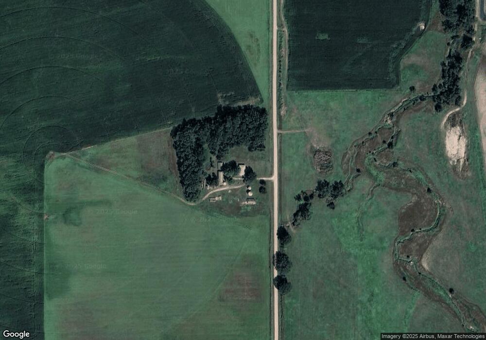
Map
Nearby Homes
- 5105 W Sherwood Rd
- 101 Frank Ave
- 101 Adealia Ave
- 100 Henry Ave
- 3407 Bradford Ave
- 3507 Bradford Ave
- 101 Henry Ave
- 100 Helen Ave
- 3506 Bradford Ave
- 3406 Bradford Ave
- 2500 W Pasewalk
- 3900 Madison Ave
- 2500 W Cooper Dr **
- 2604 W Cooper Dr**
- 3307 W Michigan Ave
- 3206 W Michigan Ave
- 3205 W Michigan Ave
- 3306 W Michigan Ave
- 1104 Southern Dr
- 1809 W Taylor Ave
- 3909 S 37th St
- 4608 S 37th St
- 3108 W South Airport Rd
- 0 N Airport Rd - S 37th St
- 3608 W South Airport Rd
- 3409 S 37th St
- 3907 N Airport Rd
- 3500 N Airport Rd
- 3207 N Airport Rd
- 4309 N Airport Rd
- 4300 W South Airport Rd
- 4207 W South Airport Rd
- 83784 553rd Ave
- 4311 N Airport Rd
- 4205 S 49th St
- 4000 S 49th St
- 3006 N Airport Rd
- 3806 S 49th St
- 3802 S 49th St
- 3706 S 49th St