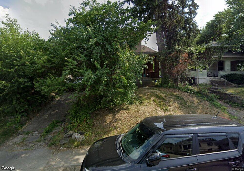
4005 Heyward St Cincinnati, OH 45205
West Price Hill NeighborhoodEstimated Value: $131,000 - $162,254
3
Beds
2
Baths
1,562
Sq Ft
$95/Sq Ft
Est. Value
About This Home
This home is located at 4005 Heyward St, Cincinnati, OH 45205 and is currently estimated at $149,064, approximately $95 per square foot. 4005 Heyward St is a home located in Hamilton County with nearby schools including Carson School, Gilbert A. Dater High School, and Western Hills High School.
Ownership History
Date
Name
Owned For
Owner Type
Purchase Details
Closed on
Nov 9, 2001
Sold by
Scholz Margaret M and Scholz Margaret
Bought by
Stallworth Brenda
Current Estimated Value
Home Financials for this Owner
Home Financials are based on the most recent Mortgage that was taken out on this home.
Original Mortgage
$66,407
Outstanding Balance
$24,753
Interest Rate
6.69%
Mortgage Type
FHA
Estimated Equity
$124,311
Create a Home Valuation Report for This Property
The Home Valuation Report is an in-depth analysis detailing your home's value as well as a comparison with similar homes in the area
Home Values in the Area
Average Home Value in this Area
Purchase History
| Date | Buyer | Sale Price | Title Company |
|---|---|---|---|
| Stallworth Brenda | $67,000 | -- |
Source: Public Records
Mortgage History
| Date | Status | Borrower | Loan Amount |
|---|---|---|---|
| Open | Stallworth Brenda | $66,407 |
Source: Public Records
Tax History
| Year | Tax Paid | Tax Assessment Tax Assessment Total Assessment is a certain percentage of the fair market value that is determined by local assessors to be the total taxable value of land and additions on the property. | Land | Improvement |
|---|---|---|---|---|
| 2025 | $2,522 | $40,839 | $4,253 | $36,586 |
| 2023 | $2,501 | $40,839 | $4,253 | $36,586 |
| 2022 | $1,408 | $20,552 | $4,228 | $16,324 |
| 2021 | $1,356 | $20,552 | $4,228 | $16,324 |
| 2020 | $1,394 | $20,552 | $4,228 | $16,324 |
| 2019 | $1,386 | $18,683 | $3,843 | $14,840 |
| 2018 | $1,388 | $18,683 | $3,843 | $14,840 |
| 2017 | $1,319 | $18,683 | $3,843 | $14,840 |
| 2016 | $1,085 | $15,124 | $4,106 | $11,018 |
| 2015 | $978 | $15,124 | $4,106 | $11,018 |
| 2014 | $985 | $15,124 | $4,106 | $11,018 |
| 2013 | $1,137 | $17,186 | $4,666 | $12,520 |
Source: Public Records
Map
Nearby Homes
- 4000 Akochia Ave
- 1440 Manss Ave
- 1647 Dewey Ave
- 1705 Wyoming Ave
- 1700 Minion Ave
- 1634 Dewey Ave
- 1626 Iliff Ave
- 1710 Wyoming Ave
- 1318 Beech Ave
- 4033 W Liberty St
- 1613 Wyoming Ave
- 1261 Dewey Ave
- 1812 Quebec Rd
- 3744 Mayfield Ave
- 3742 Mayfield Ave
- 1222 Dewey Ave
- 2403 Glenway Ave
- 1231 Ridlen Ave
- 1136 Gilsey Ave
- 1113 Gilsey Ave
- 4001 Heyward St
- 4007 Heyward St
- 1756 Iliff Ave
- 4000 Heyward St
- 4006 Heyward St
- 1754 Iliff Ave
- 4008 Heyward St
- 1752 Iliff Ave
- 1748 Iliff Ave
- 1750 Iliff Ave
- 3990 Heyward St
- 4012 Heyward St
- 1811 1st Ave
- 3986 Heyward St
- 4016 Heyward St
- 3982 Heyward St
- 1815 1st Ave
- 4020 Heyward St
- 1812 1st Ave
- 4011 Akochia Ave
Your Personal Tour Guide
Ask me questions while you tour the home.