4005 State Route 203 Radnor, OH 43066
Estimated Value: $341,000 - $477,000
3
Beds
1
Bath
1,448
Sq Ft
$260/Sq Ft
Est. Value
About This Home
This home is located at 4005 State Route 203, Radnor, OH 43066 and is currently estimated at $375,975, approximately $259 per square foot. 4005 State Route 203 is a home located in Delaware County with nearby schools including Buckeye Valley High School.
Ownership History
Date
Name
Owned For
Owner Type
Purchase Details
Closed on
Sep 7, 2017
Sold by
Wheeland David E and Judith G David E
Bought by
Wheeland Jeffrey David
Current Estimated Value
Create a Home Valuation Report for This Property
The Home Valuation Report is an in-depth analysis detailing your home's value as well as a comparison with similar homes in the area
Home Values in the Area
Average Home Value in this Area
Purchase History
| Date | Buyer | Sale Price | Title Company |
|---|---|---|---|
| Wheeland Jeffrey David | -- | None Available |
Source: Public Records
Tax History Compared to Growth
Tax History
| Year | Tax Paid | Tax Assessment Tax Assessment Total Assessment is a certain percentage of the fair market value that is determined by local assessors to be the total taxable value of land and additions on the property. | Land | Improvement |
|---|---|---|---|---|
| 2024 | $3,050 | $82,640 | $18,170 | $64,470 |
| 2023 | $3,049 | $82,640 | $18,170 | $64,470 |
| 2022 | $2,945 | $70,810 | $18,170 | $52,640 |
| 2021 | $2,948 | $70,810 | $18,170 | $52,640 |
| 2020 | $2,960 | $70,810 | $18,170 | $52,640 |
| 2019 | $2,529 | $59,650 | $15,790 | $43,860 |
| 2018 | $2,565 | $59,650 | $15,790 | $43,860 |
| 2017 | $2,301 | $55,520 | $12,850 | $42,670 |
| 2016 | $2,131 | $55,520 | $12,850 | $42,670 |
| 2015 | $2,248 | $55,520 | $12,850 | $42,670 |
| 2014 | $2,112 | $55,520 | $12,850 | $42,670 |
| 2013 | $2,125 | $53,100 | $12,850 | $40,250 |
Source: Public Records
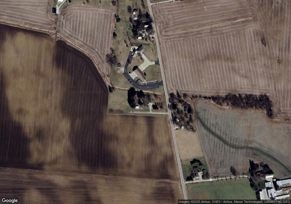
Map
Nearby Homes
- 2390 Penry Rd
- 3935 N Section Line Rd
- 2217 Radnor Rd
- 4093 State Route 257
- 1859 State Route 257 N
- 4518 State Route 257
- 541 Willey Rd
- 6412 Troy Rd
- 4525 Norton Rd
- 2310 Troy Rd
- 0 Norton Rd
- 3665 State Route 37 W
- 1258 Hills Miller Rd
- 159 Marblewood Dr
- 210 Glemsbury Dr
- 2484 State Route 37 W
- 315 Timbersmith Dr
- 518 Lamplight Dr
- 82 Lantern Chase Dr
- 389 Garnet Ranch Dr
- 4006 State Route 203
- 3968 Ohio 203
- 3968 State Route 203
- 4151 State Route 203
- 4171 State Route 203
- 4237 State Route 203
- 3866 State Route 203
- 4268 State Route 203
- 4181 John St
- 4268 Baker St
- 4184 John St
- 4292 Baker St
- 4196 John St
- 4305 State Route 203
- 4307 Baker St
- 4310 State Route 203
- 4306 Baker St
- 4315 State Route 203
- 4321 Main St
- 4331 State Route 203