4005 Tyer Rd Grain Valley, MO 64029
Estimated Value: $385,000 - $568,000
3
Beds
3
Baths
2,299
Sq Ft
$219/Sq Ft
Est. Value
About This Home
This home is located at 4005 Tyer Rd, Grain Valley, MO 64029 and is currently estimated at $503,377, approximately $218 per square foot. 4005 Tyer Rd is a home located in Jackson County with nearby schools including Grain Valley High School.
Ownership History
Date
Name
Owned For
Owner Type
Purchase Details
Closed on
May 1, 2002
Sold by
Ron Myrick Design Builders Inc
Bought by
Mollet Samuel R and Mollet Shannon M
Current Estimated Value
Home Financials for this Owner
Home Financials are based on the most recent Mortgage that was taken out on this home.
Original Mortgage
$140,000
Outstanding Balance
$59,865
Interest Rate
7.11%
Mortgage Type
Purchase Money Mortgage
Estimated Equity
$443,512
Purchase Details
Closed on
Oct 22, 2001
Sold by
Mollet Samuel R and Mollet Shannon M
Bought by
Ron Myrick Design Builders Inc
Home Financials for this Owner
Home Financials are based on the most recent Mortgage that was taken out on this home.
Original Mortgage
$212,000
Interest Rate
6.77%
Mortgage Type
Construction
Create a Home Valuation Report for This Property
The Home Valuation Report is an in-depth analysis detailing your home's value as well as a comparison with similar homes in the area
Purchase History
| Date | Buyer | Sale Price | Title Company |
|---|---|---|---|
| Mollet Samuel R | -- | Stewart Title | |
| Ron Myrick Design Builders Inc | -- | Stewart Title |
Source: Public Records
Mortgage History
| Date | Status | Borrower | Loan Amount |
|---|---|---|---|
| Open | Mollet Samuel R | $140,000 | |
| Previous Owner | Ron Myrick Design Builders Inc | $212,000 |
Source: Public Records
Tax History
| Year | Tax Paid | Tax Assessment Tax Assessment Total Assessment is a certain percentage of the fair market value that is determined by local assessors to be the total taxable value of land and additions on the property. | Land | Improvement |
|---|---|---|---|---|
| 2025 | $4,955 | $79,710 | $16,997 | $62,713 |
| 2024 | $4,748 | $69,314 | $14,288 | $55,026 |
| 2023 | $4,748 | $69,314 | $12,472 | $56,842 |
| 2022 | $5,180 | $68,020 | $6,489 | $61,531 |
| 2021 | $5,036 | $68,020 | $6,489 | $61,531 |
| 2020 | $4,397 | $59,622 | $6,489 | $53,133 |
| 2019 | $4,289 | $59,622 | $6,489 | $53,133 |
| 2018 | $4,287 | $55,812 | $20,677 | $35,135 |
| 2017 | $4,287 | $55,812 | $20,677 | $35,135 |
| 2016 | $4,177 | $54,414 | $9,619 | $44,795 |
Source: Public Records
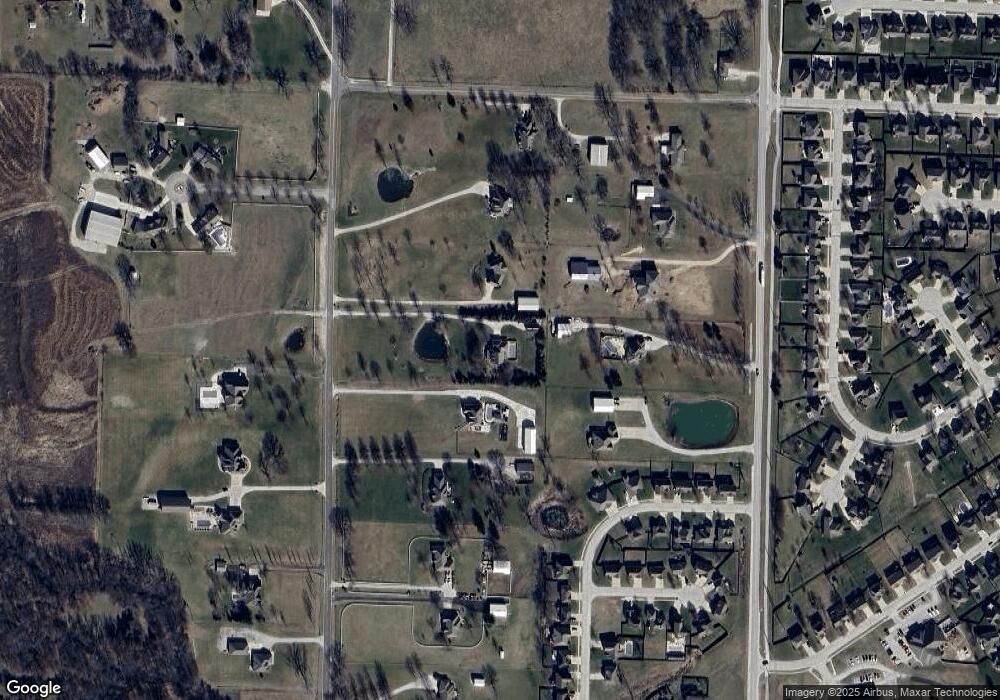
Map
Nearby Homes
- 31101 Tyer Rd
- 1515 NW Whispering Ct
- 2109 NW Sweetgum Ct
- 952 NW Maplewood Ct
- 900 NW Hawthorne Ct
- 1607 NW Pin Oak Ct
- 950 NW Maplewood Ct
- 2304 NW Rymeg Dr
- 913 NW Hickorywood Dr
- 1810 NW Bradford Ct
- 816 NW Cedar Ln
- 904 NW Lindenwood Dr
- 803 NW Redbud Dr
- 1009 NW Burr Oak Ln
- 33602 E Pink Hill Rd
- 1207 NW Hilltop Ln
- 1716 NW Nicholas Dr
- 2237 NE Maybrook Dr
- 906 NW Magnolia Ln
- 1809 NW Madi Ct
- 4011 Tyer Rd
- 3917 Tyer Rd
- 4012 S Dillingham Rd
- 3920 S Dillingham Rd
- 4004 S Dillingham Rd
- 3911 Tyer Rd
- 4017 Tyer Rd
- 1709 NW Pond Ave
- 1801 NW Pond Ave
- 1803 NW Pond Ave
- 3916 S Dillingham Rd
- 4101 Tyer Rd
- 30909 Tyer Rd
- 1708 NW Pond Ave
- 1805 NW Pond Ave
- 1703 NW Pond Ave
- 1514 NW Whispering Ct
- 1802 NW Pond Ave
- 1807 NW Pond Ave
- 1701 NW Pond Ave
Your Personal Tour Guide
Ask me questions while you tour the home.