Estimated Value: $74,000 - $225,000
2
Beds
1
Bath
1,068
Sq Ft
$117/Sq Ft
Est. Value
About This Home
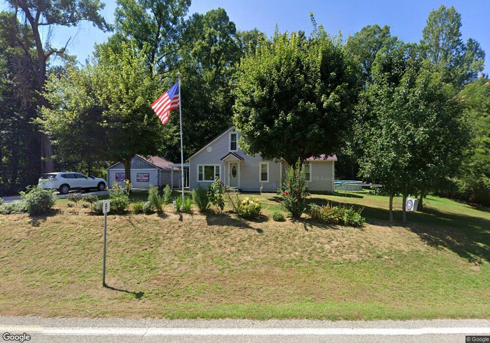
This home is located at 40063 State Route 681, Shade, OH 45776 and is currently estimated at $125,134, approximately $117 per square foot. 40063 State Route 681 is a home located in Meigs County with nearby schools including Meigs Primary School, Meigs Intermediate School, and Meigs Middle School.
Ownership History
Date
Name
Owned For
Owner Type
Purchase Details
Closed on
Jan 3, 2019
Sold by
Bailey Avice
Bought by
Wells Nancy K and Wells Jack R
Current Estimated Value
Home Financials for this Owner
Home Financials are based on the most recent Mortgage that was taken out on this home.
Original Mortgage
$39,200
Outstanding Balance
$15,200
Interest Rate
4.8%
Mortgage Type
Commercial
Estimated Equity
$109,934
Purchase Details
Closed on
Oct 8, 2016
Sold by
Mathews Sandra S
Bought by
Mathews Sandra S and The Sandra S Mathews Revocable
Purchase Details
Closed on
Jul 19, 2013
Sold by
Mathews R Craig and Mathews Sandra S
Bought by
Mathews Sandra S and The Sandra S Mathews Revocable
Purchase Details
Closed on
Jun 1, 2009
Sold by
Sargent Jonathan E and Sargent Robyn A
Bought by
Mathews Sandra S
Purchase Details
Closed on
Jan 6, 2000
Bought by
Mathews Sandra S Trustee
Create a Home Valuation Report for This Property
The Home Valuation Report is an in-depth analysis detailing your home's value as well as a comparison with similar homes in the area
Home Values in the Area
Average Home Value in this Area
Purchase History
| Date | Buyer | Sale Price | Title Company |
|---|---|---|---|
| Wells Nancy K | -- | Secure Title Services Ltd | |
| Wells Nancy E | $45,000 | Secure Title Services Ltd | |
| Mathews Sandra S | -- | None Available | |
| Mathews Sandra S | -- | None Available | |
| Mathews Sandra S | -- | None Available | |
| Mathews Sandra S Trustee | -- | -- |
Source: Public Records
Mortgage History
| Date | Status | Borrower | Loan Amount |
|---|---|---|---|
| Open | Wells Nancy E | $39,200 |
Source: Public Records
Tax History Compared to Growth
Tax History
| Year | Tax Paid | Tax Assessment Tax Assessment Total Assessment is a certain percentage of the fair market value that is determined by local assessors to be the total taxable value of land and additions on the property. | Land | Improvement |
|---|---|---|---|---|
| 2024 | $417 | $14,560 | $2,090 | $12,470 |
| 2023 | $417 | $14,560 | $2,090 | $12,470 |
| 2022 | $428 | $14,560 | $2,090 | $12,470 |
| 2021 | $455 | $13,320 | $2,250 | $11,070 |
| 2020 | $455 | $13,320 | $2,250 | $11,070 |
| 2019 | $455 | $13,320 | $2,250 | $11,070 |
| 2018 | $116 | $12,210 | $1,450 | $10,760 |
| 2017 | $116 | $12,210 | $1,450 | $10,760 |
| 2016 | $114 | $12,210 | $1,450 | $10,760 |
| 2014 | $165 | $14,330 | $1,420 | $12,910 |
| 2013 | $165 | $14,330 | $1,420 | $12,910 |
Source: Public Records
Map
Nearby Homes
- 39025 Ohio 681
- 0 Pageville Rd
- 37000 Vance Rd
- 0 Cook
- 2100 Old State Route 33
- 36853 Kingsbury Rd
- 36743 Sr 143
- 35203 Ohio 681
- 36743 Ohio 143
- 41455 Ohio 684
- 41455 Ohio 684 Unit (Tract 11 Albany Woo
- 37330 Zion Rd
- 0 Sand Ridge Rd Unit 2434199
- 0 Sand Ridge Rd Unit 225032130
- 37080 Skinner Rd
- 38210 New Lima Rd Unit C3R
- 38210 New Lima Rd
- 34791 Ohio 681
- 0 Pearl Wood Rd
- 0 Pleasanton Rd Unit 2434213
- 40070 State Route 681
- 40031 State Route 681
- 40097 State Route 681
- 40090 State Route 681
- 39981 State Route 681
- 39981 State Route 681
- 40001 State Route 681
- 40149 State Route 681
- 40197 State Route 681
- 40149 Ohio 681
- 40205 State Route 681
- 40200 State Route 681
- 0 Ohio 681
- 40267 State Route 681
- 40331 State Route 681
- 40326 State Route 681
- 39746 State Route 681
- 40650 Park Rd
- 41105 Gold Ridge Dr
- 40670 Park Rd