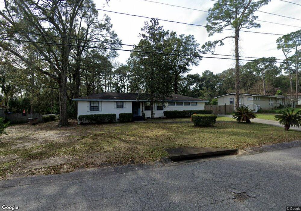
4007 Michael Blvd Mobile, AL 36609
Jackson Heights NeighborhoodEstimated Value: $161,302 - $204,000
Studio
2
Baths
1,797
Sq Ft
$100/Sq Ft
Est. Value
About This Home
This home is located at 4007 Michael Blvd, Mobile, AL 36609 and is currently estimated at $180,076, approximately $100 per square foot. 4007 Michael Blvd is a home located in Mobile County with nearby schools including Elizabeth Fonde Elementary School, Chastang-Fournier K-8 School, and WP Davidson High School.
Ownership History
Date
Name
Owned For
Owner Type
Purchase Details
Closed on
Mar 4, 2022
Sold by
Michael Watkins
Bought by
Watkins Cynthia F
Current Estimated Value
Purchase Details
Closed on
May 1, 2012
Sold by
Reed Richard M and Mcdonald Rita R
Bought by
Watkins Michael and Watkins Cynthia F
Home Financials for this Owner
Home Financials are based on the most recent Mortgage that was taken out on this home.
Original Mortgage
$99,000
Interest Rate
4.5%
Mortgage Type
Seller Take Back
Purchase Details
Closed on
Aug 14, 2007
Sold by
Hartshorn Marlon C and Cooper Christopher E
Bought by
Reed Lucille
Create a Home Valuation Report for This Property
The Home Valuation Report is an in-depth analysis detailing your home's value as well as a comparison with similar homes in the area
Home Values in the Area
Average Home Value in this Area
Purchase History
| Date | Buyer | Sale Price | Title Company |
|---|---|---|---|
| Watkins Cynthia F | $50,000 | Thiry Renee E | |
| Watkins Michael | $100,000 | None Available | |
| Reed Lucille | $134,550 | None Available |
Source: Public Records
Mortgage History
| Date | Status | Borrower | Loan Amount |
|---|---|---|---|
| Previous Owner | Watkins Michael | $99,000 |
Source: Public Records
Tax History
| Year | Tax Paid | Tax Assessment Tax Assessment Total Assessment is a certain percentage of the fair market value that is determined by local assessors to be the total taxable value of land and additions on the property. | Land | Improvement |
|---|---|---|---|---|
| 2025 | $876 | $14,930 | $2,800 | $12,130 |
| 2024 | $876 | $13,730 | $2,800 | $10,930 |
| 2023 | $815 | $14,110 | $2,800 | $11,310 |
| 2022 | $779 | $12,790 | $3,000 | $9,790 |
| 2021 | $0 | $11,400 | $2,500 | $8,900 |
| 2020 | $0 | $11,400 | $2,500 | $8,900 |
| 2019 | $0 | $11,080 | $0 | $0 |
| 2018 | $0 | $11,080 | $0 | $0 |
| 2017 | $0 | $10,220 | $0 | $0 |
| 2016 | -- | $10,440 | $0 | $0 |
| 2013 | -- | $9,580 | $0 | $0 |
Source: Public Records
Map
Nearby Homes
- 306 Thornton Place
- 363 Mcqueen Ave
- 728 Spring Station Rd
- 4059 Airport Blvd
- 308 Mcqueen Ave
- 421 Mcqueen Ave
- 812 Downtowner Loop W
- 712 Spring Station Rd
- 4365 Downtowner Loop S
- 4357 Downtowner Loop S
- 603 Thornton Place
- 3983 Wimbledon Park
- 4126 Springdale Rd
- 0 Bellevue Ln
- 4131 Springdale Rd
- 3972 Wimbledon Park
- 251 Larkspur St
- 0 Winnie Way
- 502 Nantucket Cir
- 500 Castile Dr
- 4009 Michael Blvd
- 4003 Michael Blvd
- 4011 Michael Blvd
- 324 Wayne Place
- 361 Bourgeois Cir
- 360 Bourgeois Cir
- 4013 Michael Blvd
- 4001 Michael Blvd
- 302 Azalea Rd
- 325 Wayne Place
- 363 Bourgeois Cir
- 304 Azalea Rd
- 325 Bomar Place
- 4015 Michael Blvd
- 362 Bourgeois Cir
- 321 Wayne Place
- 317 Wayne Place
- 316 Wayne Place
- 306 Azalea Rd
- 317 Bomar Place
Your Personal Tour Guide
Ask me questions while you tour the home.