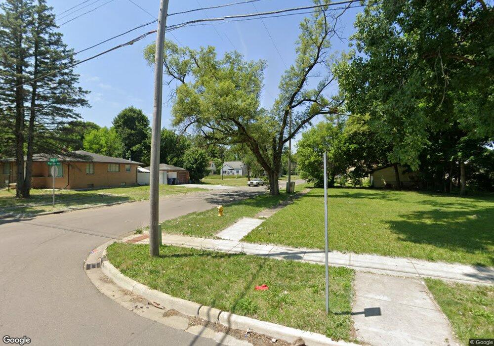
4009 Dupont St Flint, MI 48504
Sterling and Myrtle NeighborhoodEstimated Value: $44,000 - $72,701
--
Bed
1
Bath
--
Sq Ft
4,487
Sq Ft Lot
About This Home
This home is located at 4009 Dupont St, Flint, MI 48504 and is currently estimated at $55,234. 4009 Dupont St is a home located in Genesee County with nearby schools including Brownell STEM Academy, The New Standard Academy, and Eagle's Nest Academy.
Ownership History
Date
Name
Owned For
Owner Type
Purchase Details
Closed on
Dec 15, 2021
Sold by
Genesee County Land Bank Authority
Bought by
Hart Jimmie
Current Estimated Value
Purchase Details
Closed on
Dec 21, 2009
Sold by
Kildee Daniel T
Bought by
Genesee County Land Bank Authority
Purchase Details
Closed on
Feb 23, 2006
Sold by
Isom Michael R
Bought by
Barksdale James
Home Financials for this Owner
Home Financials are based on the most recent Mortgage that was taken out on this home.
Original Mortgage
$58,500
Interest Rate
10.1%
Mortgage Type
Fannie Mae Freddie Mac
Purchase Details
Closed on
Oct 4, 2005
Sold by
Jackson Alphonso R
Bought by
Isom Michael R
Purchase Details
Closed on
Apr 10, 2005
Sold by
Michigan State Housing Development Autho
Bought by
Hud
Purchase Details
Closed on
Jul 25, 2002
Sold by
Lawson Christine
Bought by
Michigan State Hsng Development Authorit
Create a Home Valuation Report for This Property
The Home Valuation Report is an in-depth analysis detailing your home's value as well as a comparison with similar homes in the area
Home Values in the Area
Average Home Value in this Area
Purchase History
Date | Buyer | Sale Price | Title Company |
---|---|---|---|
Hart Jimmie | $250 | None Listed On Document | |
Genesee County Land Bank Authority | -- | None Available | |
Barksdale James | $65,000 | Lawyers Title Insurance Co | |
Isom Michael R | $5,000 | Wolverton Title Research Co | |
Hud | -- | Greco Title | |
Michigan State Hsng Development Authorit | $19,938 | -- |
Source: Public Records
Mortgage History
Date | Status | Borrower | Loan Amount |
---|---|---|---|
Previous Owner | Barksdale James | $58,500 |
Source: Public Records
Tax History Compared to Growth
Tax History
Year | Tax Paid | Tax Assessment Tax Assessment Total Assessment is a certain percentage of the fair market value that is determined by local assessors to be the total taxable value of land and additions on the property. | Land | Improvement |
---|---|---|---|---|
2024 | -- | $1,200 | $0 | $0 |
2023 | -- | $1,200 | $0 | $0 |
2022 | $0 | $1,200 | $0 | $0 |
2021 | $0 | $0 | $0 | $0 |
2020 | $0 | $0 | $0 | $0 |
2019 | $0 | $0 | $0 | $0 |
2018 | $0 | $0 | $0 | $0 |
2017 | $0 | $0 | $0 | $0 |
2016 | $0 | $0 | $0 | $0 |
2015 | -- | $0 | $0 | $0 |
2014 | -- | $0 | $0 | $0 |
2012 | -- | $0 | $0 | $0 |
Source: Public Records
Map
Nearby Homes
- 305 W Stewart Ave
- 4520 Edwards Ave
- 4515 Baldwin Blvd
- 425 W Dewey St
- 1408 W Pasadena Ave
- 4808 Edwards Ave
- 110 W Eldridge Ave
- 124 W Flint Park Blvd
- 200 W Mcclellan St
- 311 W Genesee St
- 3621 Alexander St
- 325 W Marengo Ave
- 203 E Stewart Ave
- 4539 Trumbull Dr
- 205 E Stewart Ave
- 3412 Comstock Ave
- 133 E Mcclellan St
- 5318 Baldwin Blvd
- 5302 Susan St
- 326 E Mcclellan St