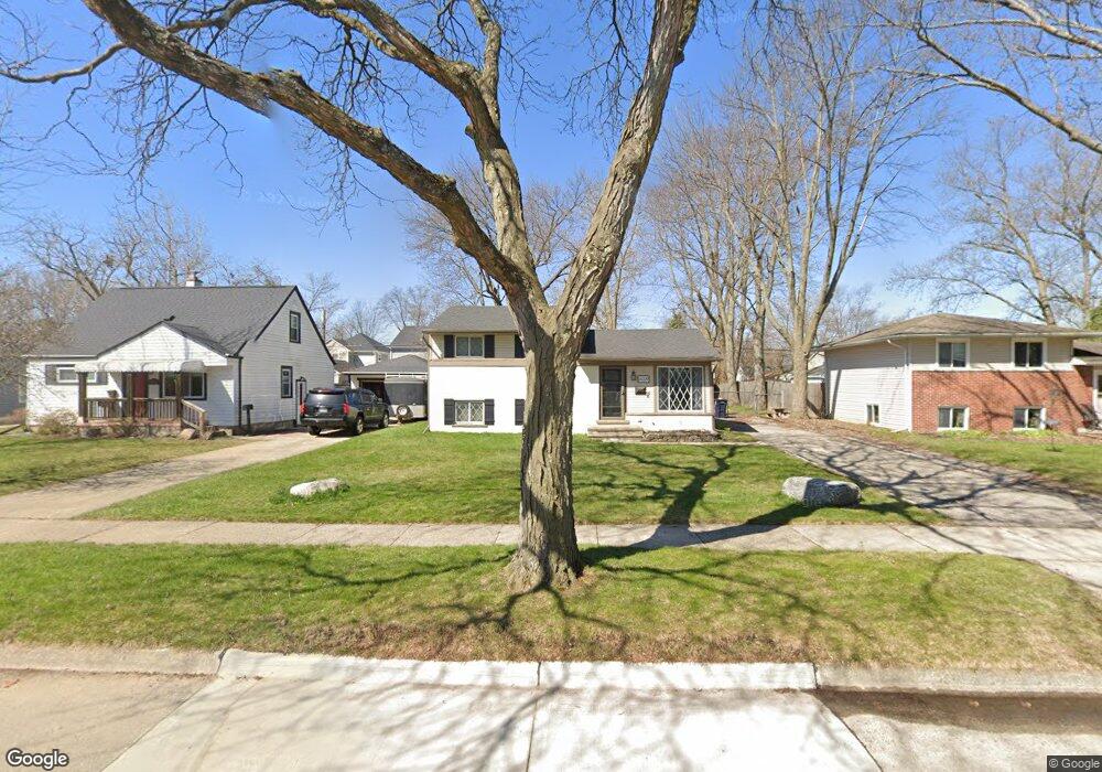
4009 Elmhurst Ave Unit Bldg-Unit Royal Oak, MI 48073
Estimated Value: $347,458 - $370,000
3
Beds
4
Baths
1,150
Sq Ft
$313/Sq Ft
Est. Value
About This Home
This home is located at 4009 Elmhurst Ave Unit Bldg-Unit, Royal Oak, MI 48073 and is currently estimated at $360,115, approximately $313 per square foot. 4009 Elmhurst Ave Unit Bldg-Unit is a home located in Oakland County with nearby schools including Alfred E. Upton Elementary School, Royal Oak Middle School, and Royal Oak High School.
Ownership History
Date
Name
Owned For
Owner Type
Purchase Details
Closed on
Jul 13, 2018
Sold by
Koepke Michael
Bought by
Carlson Robert and Carlson Shannon L
Current Estimated Value
Home Financials for this Owner
Home Financials are based on the most recent Mortgage that was taken out on this home.
Original Mortgage
$223,250
Outstanding Balance
$193,907
Interest Rate
4.6%
Mortgage Type
New Conventional
Estimated Equity
$166,208
Purchase Details
Closed on
Dec 28, 2015
Sold by
Chapman Ii James H and Chapman Karen
Bought by
Koepke Michael
Home Financials for this Owner
Home Financials are based on the most recent Mortgage that was taken out on this home.
Original Mortgage
$187,983
Interest Rate
3.99%
Mortgage Type
FHA
Purchase Details
Closed on
Mar 28, 2013
Sold by
Hesse Hugo C and Hesse Doneen J
Bought by
Chapman Ii James H
Create a Home Valuation Report for This Property
The Home Valuation Report is an in-depth analysis detailing your home's value as well as a comparison with similar homes in the area
Home Values in the Area
Average Home Value in this Area
Purchase History
| Date | Buyer | Sale Price | Title Company |
|---|---|---|---|
| Carlson Robert | $235,000 | First American Title Insuran | |
| Koepke Michael | $192,124 | Tsi | |
| Chapman Ii James H | $130,000 | None Available |
Source: Public Records
Mortgage History
| Date | Status | Borrower | Loan Amount |
|---|---|---|---|
| Open | Carlson Robert | $223,250 | |
| Previous Owner | Koepke Michael | $187,983 |
Source: Public Records
Tax History Compared to Growth
Tax History
| Year | Tax Paid | Tax Assessment Tax Assessment Total Assessment is a certain percentage of the fair market value that is determined by local assessors to be the total taxable value of land and additions on the property. | Land | Improvement |
|---|---|---|---|---|
| 2024 | $3,956 | $136,620 | $0 | $0 |
| 2022 | $4,710 | $124,650 | $0 | $0 |
| 2020 | $3,844 | $118,280 | $0 | $0 |
| 2018 | $4,710 | $88,960 | $0 | $0 |
| 2017 | $3,485 | $88,960 | $0 | $0 |
| 2015 | -- | $82,020 | $0 | $0 |
| 2014 | -- | $79,190 | $0 | $0 |
| 2011 | -- | $72,500 | $0 | $0 |
Source: Public Records
Map
Nearby Homes
- 4115 Elmhurst Ave
- 4109 Benjamin Ave Unit 2
- 3927 Woodland Ave
- 2500 Normandy Rd Unit 46
- 2500 Normandy Rd Unit 29
- 2500 Normandy Rd Unit 41
- 4102 Woodland Ave
- 2511 Massoit Rd
- 3532 Woodland Ave
- 4114 Edgeland Ave
- 3601 Durham Rd
- 4101 Devon Rd
- 3439 Benjamin Ave Unit 121
- 3526 Durham Rd
- 3415 Benjamin Ave Unit 505
- 3402 Woodland Ave
- 2503 W 13 Mile Rd Unit 18
- 4227 Crooks Rd
- 3100 Linwood Ave Unit B, 28
- 3122 Benjamin Ave
- 4009 Elmhurst Ave
- 4015 Elmhurst Ave
- 4016 Kent Rd
- 4003 Elmhurst Ave
- 4010 Kent Rd
- 4006 Kent Rd
- 4021 Elmhurst Ave
- 4002 Kent Rd
- 4018 Kent Rd
- 3927 Elmhurst Ave
- 3928 Kent Rd
- 4024 Kent Rd
- 4103 Elmhurst Ave
- 3924 Kent Rd
- 4102 Kent Rd
- 3921 Elmhurst Ave
- 4107 Elmhurst Ave
- 3920 Kent Rd
- 4108 Kent Rd
- 3915 Elmhurst Ave