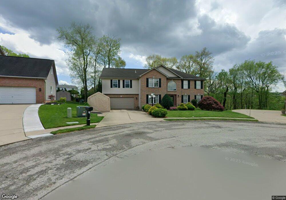
4009 Oak Point Cir Mc Kees Rocks, PA 15136
Kennedy Township NeighborhoodEstimated Value: $484,000 - $610,935
4
Beds
4
Baths
3,272
Sq Ft
$172/Sq Ft
Est. Value
About This Home
This home is located at 4009 Oak Point Cir, Mc Kees Rocks, PA 15136 and is currently estimated at $562,234, approximately $171 per square foot. 4009 Oak Point Cir is a home located in Allegheny County with nearby schools including Montour Elementary School, David E. Williams Middle School, and Montour High School.
Ownership History
Date
Name
Owned For
Owner Type
Purchase Details
Closed on
Sep 27, 2005
Sold by
Olander John
Bought by
Rust Michael J
Current Estimated Value
Home Financials for this Owner
Home Financials are based on the most recent Mortgage that was taken out on this home.
Original Mortgage
$130,000
Outstanding Balance
$70,282
Interest Rate
5.92%
Mortgage Type
New Conventional
Estimated Equity
$491,952
Purchase Details
Closed on
Oct 26, 2000
Sold by
Oak Pointe Associates
Bought by
Olander John and Olander Stacey A
Create a Home Valuation Report for This Property
The Home Valuation Report is an in-depth analysis detailing your home's value as well as a comparison with similar homes in the area
Home Values in the Area
Average Home Value in this Area
Purchase History
| Date | Buyer | Sale Price | Title Company |
|---|---|---|---|
| Rust Michael J | $335,000 | -- | |
| Olander John | $46,900 | -- |
Source: Public Records
Mortgage History
| Date | Status | Borrower | Loan Amount |
|---|---|---|---|
| Open | Rust Michael J | $130,000 |
Source: Public Records
Tax History Compared to Growth
Tax History
| Year | Tax Paid | Tax Assessment Tax Assessment Total Assessment is a certain percentage of the fair market value that is determined by local assessors to be the total taxable value of land and additions on the property. | Land | Improvement |
|---|---|---|---|---|
| 2025 | $7,805 | $309,800 | $30,400 | $279,400 |
| 2024 | $7,805 | $309,800 | $30,400 | $279,400 |
| 2023 | $7,759 | $309,800 | $30,400 | $279,400 |
| 2022 | $7,759 | $309,800 | $30,400 | $279,400 |
| 2021 | $7,757 | $309,800 | $30,400 | $279,400 |
| 2020 | $7,759 | $309,800 | $30,400 | $279,400 |
| 2019 | $7,728 | $309,800 | $30,400 | $279,400 |
| 2018 | $1,465 | $309,800 | $30,400 | $279,400 |
| 2017 | $7,650 | $309,800 | $30,400 | $279,400 |
| 2016 | $1,465 | $309,800 | $30,400 | $279,400 |
| 2015 | $1,465 | $309,800 | $30,400 | $279,400 |
| 2014 | $7,321 | $309,800 | $30,400 | $279,400 |
Source: Public Records
Map
Nearby Homes
- 132 Deana Dr
- 1096 - 1098 Valley St
- 5045 Julia Ln
- 141 Deana Dr
- 225 Lola Ct
- 203 Lola Ct
- 231 Lola Ct
- 229 Lola Ct
- 232 Lola Ct
- 216 Lola Ct
- 208 Lola Ct
- 5079 Windriver Dr
- 224 Field Club Cir
- 0 Linden Way
- 168 Connie Park Dr
- 4 Brentwood Dr
- 1807 Pine Hollow Rd
- 112 Field Club Cir
- 2033 McKees Rocks Rd
- 11 Truman Cir
- 4010 Oak Point Cir
- 4007 Oak Point Cir
- 4047 Crabapple Ln
- 4045 Crabapple Ln
- 4005 Oak Point Cir
- 4049 Crabapple Ln
- 4008 Oak Point Cir
- 4043 Crabapple Ln
- 4006 Oak Point Cir
- 4051 Crabapple Ln
- 4003 Oak Point Cir
- 4004 Oak Point Cir
- 4041 Crabapple Ln
- 4053 Crabapple Ln
- 5019 Oak Point Dr
- 4038 Crabapple Ln
- 4040 Crabapple Ln
- 4002 Oak Point Cir
- 4002 Oak Point Dr
- 5017 Oak Point Dr