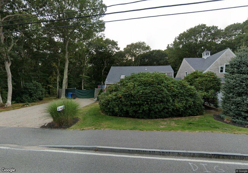
401 Acapesket Rd East Falmouth, MA 02536
Estimated Value: $1,093,000 - $1,261,739
4
Beds
1
Bath
1,528
Sq Ft
$780/Sq Ft
Est. Value
About This Home
This home is located at 401 Acapesket Rd, East Falmouth, MA 02536 and is currently estimated at $1,191,435, approximately $779 per square foot. 401 Acapesket Rd is a home located in Barnstable County with nearby schools including Teaticket Elementary School, Morse Pond School, and Lawrence School.
Ownership History
Date
Name
Owned For
Owner Type
Purchase Details
Closed on
Aug 14, 2023
Sold by
Cape Coddage Llc
Bought by
Brenner Christopher
Current Estimated Value
Purchase Details
Closed on
Apr 28, 2006
Sold by
Losordo Richard
Bought by
Cape Coddage Llc
Purchase Details
Closed on
Nov 22, 2000
Sold by
Shaw Kirk D and Shaw Margaret M
Bought by
Losordo Richard
Home Financials for this Owner
Home Financials are based on the most recent Mortgage that was taken out on this home.
Original Mortgage
$171,000
Interest Rate
7.78%
Mortgage Type
Purchase Money Mortgage
Create a Home Valuation Report for This Property
The Home Valuation Report is an in-depth analysis detailing your home's value as well as a comparison with similar homes in the area
Home Values in the Area
Average Home Value in this Area
Purchase History
| Date | Buyer | Sale Price | Title Company |
|---|---|---|---|
| Brenner Christopher | -- | None Available | |
| Cape Coddage Llc | $350,000 | -- | |
| Cape Coddage Llc | $350,000 | -- | |
| Losordo Richard | $190,000 | -- | |
| Losordo Richard | $190,000 | -- |
Source: Public Records
Mortgage History
| Date | Status | Borrower | Loan Amount |
|---|---|---|---|
| Previous Owner | Losordo Richard | $171,000 |
Source: Public Records
Tax History Compared to Growth
Tax History
| Year | Tax Paid | Tax Assessment Tax Assessment Total Assessment is a certain percentage of the fair market value that is determined by local assessors to be the total taxable value of land and additions on the property. | Land | Improvement |
|---|---|---|---|---|
| 2025 | $5,355 | $912,300 | $363,400 | $548,900 |
| 2024 | $4,783 | $761,700 | $316,400 | $445,300 |
| 2023 | $3,311 | $478,400 | $253,100 | $225,300 |
| 2022 | $3,367 | $418,300 | $236,600 | $181,700 |
| 2021 | $3,362 | $395,500 | $236,600 | $158,900 |
| 2020 | $2,924 | $340,400 | $215,100 | $125,300 |
| 2019 | $2,883 | $336,800 | $215,100 | $121,700 |
| 2018 | $2,876 | $334,400 | $215,100 | $119,300 |
| 2017 | $2,823 | $331,000 | $215,100 | $115,900 |
| 2016 | $2,770 | $331,000 | $215,100 | $115,900 |
| 2015 | $2,711 | $331,000 | $215,100 | $115,900 |
| 2014 | $2,694 | $330,500 | $215,200 | $115,300 |
Source: Public Records
Map
Nearby Homes
- 37 Seashell Ln
- 26 Sanddollar Cir
- LOTA Commodore Ln
- 21 Kilmer Rd
- 58 Striper Ln
- 473 Davisville Rd
- 472 & 474 Davisville Rd
- Lot 2 Pine Grove Ave
- 16 Edgewood Dr
- 52 Bacon Farm Rd
- 224 Menauhant Rd
- 69 Reynolds St
- 214 Menauhant Rd
- 50 Palm St
- 231 Great Bay St
- 49 Rivers End Rd
- 19 Moniz Way
- 30 Weatherglass Ln
- 5 Massasoit St
- 9 Theroux Dr
- 406 Acapesket Rd
- 69 Woodland Rd
- 400 Acapesket Rd
- 396 Acapesket Rd
- 412 Acapesket Rd
- 61 Woodland Rd
- 413 Acapesket Rd
- 390 Acapesket Rd
- 103 Alcott Rd
- 97 Alcott Rd
- 93 Alcott Rd
- 107 Alcott Rd
- 416 Acapesket Rd
- 87 Alcott Rd
- 384 Acapesket Rd
- 421 Acapesket Rd
- 113 Alcott Rd
- 55 Woodland Rd
- 83 Alcott Rd
- 104 Alcott Rd