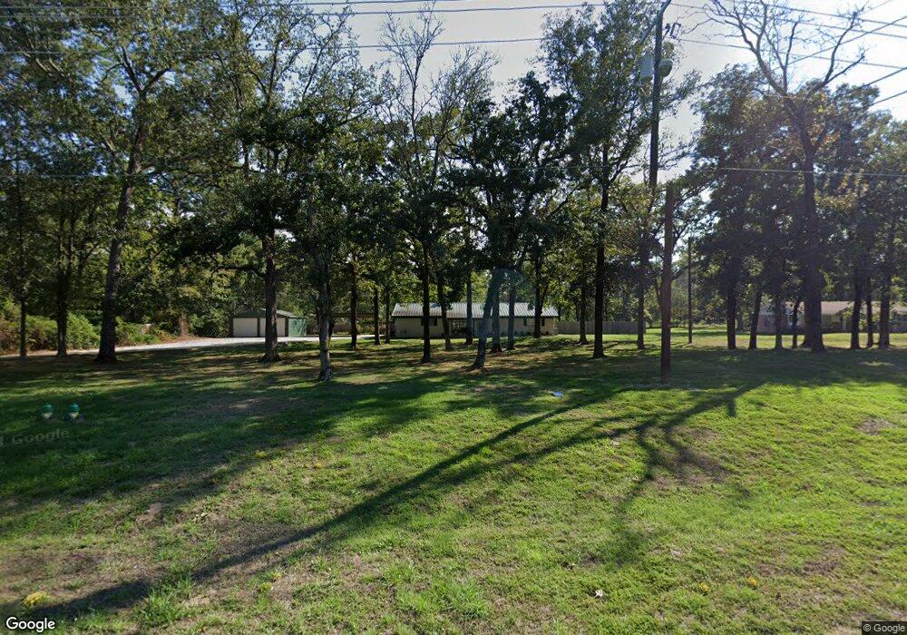
401 Brentwood Dr Lufkin, TX 75901
Estimated Value: $217,614 - $260,000
3
Beds
2
Baths
1,604
Sq Ft
$151/Sq Ft
Est. Value
About This Home
This home is located at 401 Brentwood Dr, Lufkin, TX 75901 and is currently estimated at $241,654, approximately $150 per square foot. 401 Brentwood Dr is a home located in Angelina County with nearby schools including Kurth Primary School, Anderson Elementary School, and Lufkin Middle School.
Ownership History
Date
Name
Owned For
Owner Type
Purchase Details
Closed on
Apr 19, 2005
Sold by
Stovall Dixon Thomas
Bought by
Johnson Ken and Johnson Adam H
Current Estimated Value
Home Financials for this Owner
Home Financials are based on the most recent Mortgage that was taken out on this home.
Original Mortgage
$83,500
Outstanding Balance
$44,397
Interest Rate
6.25%
Mortgage Type
Adjustable Rate Mortgage/ARM
Estimated Equity
$197,257
Create a Home Valuation Report for This Property
The Home Valuation Report is an in-depth analysis detailing your home's value as well as a comparison with similar homes in the area
Home Values in the Area
Average Home Value in this Area
Purchase History
| Date | Buyer | Sale Price | Title Company |
|---|---|---|---|
| Johnson Ken | $83,500 | None Available |
Source: Public Records
Mortgage History
| Date | Status | Borrower | Loan Amount |
|---|---|---|---|
| Open | Johnson Ken | $83,500 |
Source: Public Records
Tax History Compared to Growth
Tax History
| Year | Tax Paid | Tax Assessment Tax Assessment Total Assessment is a certain percentage of the fair market value that is determined by local assessors to be the total taxable value of land and additions on the property. | Land | Improvement |
|---|---|---|---|---|
| 2025 | $3,526 | $168,720 | $45,110 | $123,610 |
| 2024 | $3,118 | $149,220 | $45,110 | $104,110 |
| 2023 | $2,937 | $147,790 | $45,110 | $102,680 |
| 2022 | $3,450 | $151,490 | $45,110 | $106,380 |
| 2021 | $3,488 | $141,610 | $45,110 | $96,500 |
| 2020 | $3,376 | $137,360 | $45,110 | $92,250 |
| 2019 | $3,573 | $137,460 | $45,110 | $92,350 |
| 2018 | $3,126 | $135,610 | $45,110 | $90,500 |
| 2017 | $3,126 | $131,140 | $45,110 | $86,030 |
| 2016 | $3,042 | $127,610 | $45,110 | $82,500 |
| 2015 | $2,834 | $123,440 | $45,110 | $78,330 |
| 2014 | $2,834 | $123,150 | $45,110 | $78,040 |
Source: Public Records
Map
Nearby Homes
- 410 Brentwood Dr
- 502 Brentwood Dr
- 101 Southern Trace Dr
- 1502 Brentwood Dr
- 4410 Champions Dr
- 3911 Champions Dr
- 301 Southern Trace Dr
- R33234 Platt Rd
- 1608 Champions Dr
- 310 Oak Crest Dr
- 407 Muirfield Dr
- R33219, R33220 Brentwood Dr
- 510 Brentwood Dr
- 322 Oak Crest Dr
- 12 Windsor Ct
- 911 Augusta Dr
- 831 Augusta Dr
- 17 Glenview Ct
- 307 Brentwood Dr
- 305 Brentwood Dr
- 403 Brentwood Dr
- 273 Blake Rd
- 303 Brentwood Dr
- 301 Brentwood Dr
- 304 Brentwood Dr
- 231 Blake Rd
- 5000 Fm 58
- 209 Brentwood Dr
- 207 Brentwood Dr
- 525 Brentwood Dr
- 205 Brentwood Dr
- 402 Brentwood Dr
- 5024 Fm 58
- 5024 Fm 58
- 4936 Fm 58
- 4918 Fm 58
- 200 Brentwood Dr Unit 202
- 4806 S Chestnut St Unit 4808