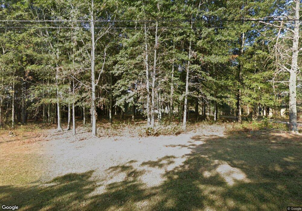
401 Brock Rd Carrollton, GA 30117
Estimated Value: $330,000 - $475,054
4
Beds
4
Baths
2,738
Sq Ft
$157/Sq Ft
Est. Value
About This Home
This home is located at 401 Brock Rd, Carrollton, GA 30117 and is currently estimated at $431,014, approximately $157 per square foot. 401 Brock Rd is a home located in Carroll County with nearby schools including Bowdon Elementary School, Bowdon Middle School, and Bowdon High School.
Ownership History
Date
Name
Owned For
Owner Type
Purchase Details
Closed on
Jun 11, 2008
Sold by
Not Provided
Bought by
Kent William R and Kent Amy M
Current Estimated Value
Purchase Details
Closed on
Nov 23, 2004
Sold by
Kent Nan H
Bought by
Kent William R and Kent Amy M
Purchase Details
Closed on
Nov 11, 2004
Sold by
Kent Nan H
Bought by
Kent William R and Kent Amy M
Create a Home Valuation Report for This Property
The Home Valuation Report is an in-depth analysis detailing your home's value as well as a comparison with similar homes in the area
Home Values in the Area
Average Home Value in this Area
Purchase History
| Date | Buyer | Sale Price | Title Company |
|---|---|---|---|
| Kent William R | -- | -- | |
| Kent William R | -- | -- | |
| Kent William R | -- | -- |
Source: Public Records
Tax History Compared to Growth
Tax History
| Year | Tax Paid | Tax Assessment Tax Assessment Total Assessment is a certain percentage of the fair market value that is determined by local assessors to be the total taxable value of land and additions on the property. | Land | Improvement |
|---|---|---|---|---|
| 2024 | $3,781 | $204,313 | $11,288 | $193,025 |
| 2023 | $3,781 | $184,362 | $9,031 | $175,331 |
| 2022 | $3,120 | $146,618 | $6,020 | $140,598 |
| 2021 | $2,808 | $125,067 | $4,816 | $120,251 |
| 2020 | $2,549 | $110,523 | $4,378 | $106,145 |
| 2019 | $2,386 | $100,485 | $4,378 | $96,107 |
| 2018 | $2,163 | $86,366 | $4,378 | $81,988 |
| 2017 | $1,384 | $58,165 | $4,378 | $53,787 |
| 2016 | $1,385 | $58,165 | $4,378 | $53,787 |
| 2015 | $1,373 | $53,101 | $8,506 | $44,596 |
| 2014 | $1,379 | $53,102 | $8,506 | $44,596 |
Source: Public Records
Map
Nearby Homes
- 404 Brock Rd
- 309 Brock Rd
- 468 Brock Rd
- 30 Barnes Mill Rd
- 106 Sprewell Rd
- 561 Brock Rd
- 149 Brock Rd
- 619 Brock Rd
- 648 Brock Rd
- 648 Brock Rd
- 145 AC Brock Rd
- 659 Brock Rd
- 0 Brock Rd Unit 8773660
- 0 Brock Rd Unit 8872219
- 255 Barnes Mill Rd
- 180 Brock Rd
- 707 Brock Rd
- 1184 Farmers High Rd
- 1184 Farmers High Rd
- 473 Harman Rd
