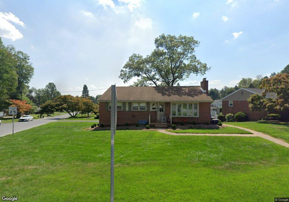
401 Capri Rd Lancaster, PA 17603
Wheatland NeighborhoodEstimated Value: $300,000 - $323,206
3
Beds
2
Baths
1,218
Sq Ft
$252/Sq Ft
Est. Value
About This Home
This home is located at 401 Capri Rd, Lancaster, PA 17603 and is currently estimated at $306,802, approximately $251 per square foot. 401 Capri Rd is a home located in Lancaster County with nearby schools including Hambright Elementary School, Manor Middle School, and Penn Manor High School.
Ownership History
Date
Name
Owned For
Owner Type
Purchase Details
Closed on
Oct 10, 2025
Sold by
Perry Robert B and Good Lorena P
Bought by
Splain Jennel L
Current Estimated Value
Home Financials for this Owner
Home Financials are based on the most recent Mortgage that was taken out on this home.
Original Mortgage
$248,250
Outstanding Balance
$247,581
Interest Rate
6.56%
Mortgage Type
New Conventional
Estimated Equity
$59,221
Create a Home Valuation Report for This Property
The Home Valuation Report is an in-depth analysis detailing your home's value as well as a comparison with similar homes in the area
Home Values in the Area
Average Home Value in this Area
Purchase History
| Date | Buyer | Sale Price | Title Company |
|---|---|---|---|
| Splain Jennel L | $300,000 | Realty Settlement Services |
Source: Public Records
Mortgage History
| Date | Status | Borrower | Loan Amount |
|---|---|---|---|
| Open | Splain Jennel L | $248,250 |
Source: Public Records
Tax History
| Year | Tax Paid | Tax Assessment Tax Assessment Total Assessment is a certain percentage of the fair market value that is determined by local assessors to be the total taxable value of land and additions on the property. | Land | Improvement |
|---|---|---|---|---|
| 2025 | $3,442 | $157,600 | $49,400 | $108,200 |
| 2024 | $3,442 | $157,600 | $49,400 | $108,200 |
| 2023 | $3,442 | $157,600 | $49,400 | $108,200 |
| 2022 | $3,376 | $157,600 | $49,400 | $108,200 |
| 2021 | $3,291 | $157,600 | $49,400 | $108,200 |
| 2020 | $3,291 | $157,600 | $49,400 | $108,200 |
| 2019 | $3,199 | $157,600 | $49,400 | $108,200 |
| 2018 | $2,465 | $157,600 | $49,400 | $108,200 |
| 2017 | $2,689 | $110,800 | $36,800 | $74,000 |
| 2016 | $2,689 | $110,800 | $36,800 | $74,000 |
| 2015 | $553 | $110,800 | $36,800 | $74,000 |
| 2014 | $1,833 | $110,800 | $36,800 | $74,000 |
Source: Public Records
Map
Nearby Homes
- 408 Fairway Dr
- 619 621 Millersville Rd
- 323 Millersville Rd
- 266 Redwood Dr
- 105 Silverwind Ct S
- 203 Thrush Ct N
- 102 Arrowwood Ct
- 416 Banyan Circle Dr
- 104 Fox Run Ct
- 215 Fawn Meadow Crossing
- 121 Pheasant Ridge Cir
- 114 Pheasant Ridge Cir
- 2210 Berkshire Rd
- 4 Bunker Hill
- 1529 Springside Dr
- 1 & 2 Bentley Ln
- 1915 Millersville Pike
- 1969 Millersville Pike
- 518 Big Bend Rd
- 1522 Manor Blvd
Your Personal Tour Guide
Ask me questions while you tour the home.