401 Celie Ann Seabolt Rd Cleveland, GA 30528
Estimated Value: $366,000 - $513,287
--
Bed
1
Bath
1,600
Sq Ft
$279/Sq Ft
Est. Value
About This Home
This home is located at 401 Celie Ann Seabolt Rd, Cleveland, GA 30528 and is currently estimated at $447,072, approximately $279 per square foot. 401 Celie Ann Seabolt Rd is a home located in Lumpkin County with nearby schools including Lumpkin County High School.
Ownership History
Date
Name
Owned For
Owner Type
Purchase Details
Closed on
Mar 8, 2018
Sold by
Steele Michael Dewayne
Bought by
Gilbert Ronald K and Gilbert Allison J
Current Estimated Value
Purchase Details
Closed on
Oct 14, 2005
Sold by
Steele Michael D
Bought by
Grindle V James
Purchase Details
Closed on
Feb 27, 2002
Sold by
Steele Michael D
Bought by
Steele Michael D and Marcia Rose Mohl
Purchase Details
Closed on
Jun 29, 1996
Bought by
Steele Michael D
Create a Home Valuation Report for This Property
The Home Valuation Report is an in-depth analysis detailing your home's value as well as a comparison with similar homes in the area
Home Values in the Area
Average Home Value in this Area
Purchase History
| Date | Buyer | Sale Price | Title Company |
|---|---|---|---|
| Gilbert Ronald K | $110,000 | -- | |
| Grindle V James | $183,000 | -- | |
| Steele Michael D | -- | -- | |
| Steele Michael D | -- | -- |
Source: Public Records
Tax History Compared to Growth
Tax History
| Year | Tax Paid | Tax Assessment Tax Assessment Total Assessment is a certain percentage of the fair market value that is determined by local assessors to be the total taxable value of land and additions on the property. | Land | Improvement |
|---|---|---|---|---|
| 2024 | $191 | $149,341 | $69,222 | $80,119 |
| 2023 | $1 | $119,601 | $58,533 | $61,068 |
| 2022 | $2,489 | $100,536 | $48,778 | $51,758 |
| 2021 | $2,586 | $91,148 | $48,778 | $42,370 |
| 2020 | $2,489 | $87,725 | $46,744 | $40,981 |
| 2019 | $2,489 | $87,725 | $46,744 | $40,981 |
| 2018 | $2,351 | $82,864 | $46,744 | $36,120 |
| 2017 | $1,085 | $107,413 | $73,433 | $33,980 |
| 2016 | $823 | $97,587 | $73,433 | $24,154 |
| 2015 | $725 | $97,586 | $73,433 | $24,154 |
| 2014 | $725 | $97,861 | $73,433 | $24,428 |
| 2013 | -- | $90,251 | $73,432 | $16,818 |
Source: Public Records
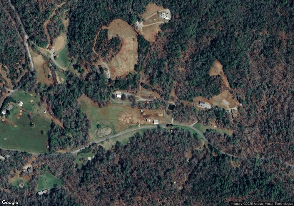
Map
Nearby Homes
- 457 Celie Ann Seabolt Rd
- 0 Paradise Valley Rd Unit 10468779
- 310 Highland Trail
- 532 Highland Trail
- 0 Highway 129 N Unit 10601810
- 129 Pine Rd
- 0 Damascus Church Rd Unit 21674636
- 136 Gold Ditch Rd
- 31 Pine Rd
- 00 Paradise Valley Rd
- 802 Pine Knot Dr
- 748 Damascus Church Rd
- 529 Eden Cir
- 412 Fireside Ridge Dr
- 94 Bridge Loop Dr
- 88 Fishtail Cir
- 129 Fishtail Cir
- 155 Fishtail Cir
- 402 Celie Ann Seabolt Rd
- 182 Celie Ann Seabolt Rd
- 1768 John Crow Rd
- 30 30 Celie Ann Seabolt
- 321 Neverland Trail
- 1700 John Crow Rd
- 1700 John Crow Rd Unit 12+AC
- 1700 John Crow Rd Unit 12+AC
- 1700 John Crow Rd
- 500 Neverland Trail
- 30 Celie Ann Seabolt Rd
- 2 Celie Ann Seabolt Rd
- 1 Celie Ann Seabolt Rd
- 0 Celie Ann Seabolt Rd
- 102 Celie Ann Seabolt Rd
- 00 Celie Ann Seabolt Rd
- 0 Celie Ann Seabolt Rd Unit 3079275
- 0 Celie Ann Seabolt Rd Unit 8206504
- 0 Celie Ann Seabolt Rd Unit 3778610
- 0 Celie Ann Seabolt Rd Unit 8890870