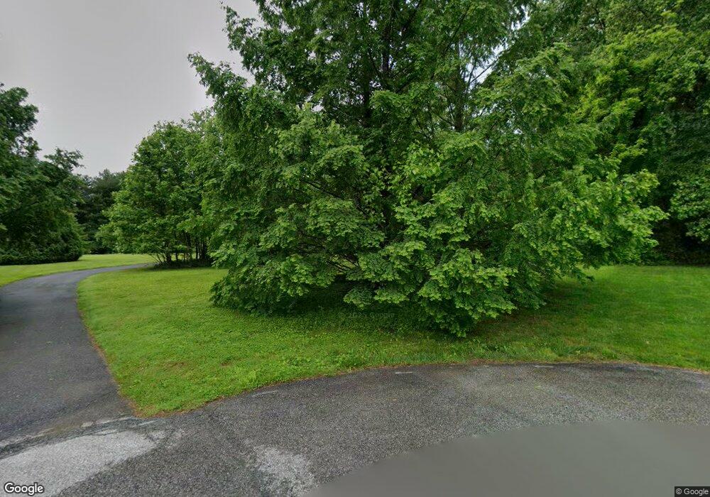
401 Covered Bridge Ln Oxford, PA 19363
Elk Township NeighborhoodEstimated Value: $453,000 - $511,098
3
Beds
3
Baths
1,906
Sq Ft
$253/Sq Ft
Est. Value
About This Home
This home is located at 401 Covered Bridge Ln, Oxford, PA 19363 and is currently estimated at $482,275, approximately $253 per square foot. 401 Covered Bridge Ln is a home located in Chester County with nearby schools including Elk Ridge School, Nottingham School, and Jordan Bank Elementary School.
Ownership History
Date
Name
Owned For
Owner Type
Purchase Details
Closed on
Jun 20, 2005
Sold by
Small Charles O and Small Margaret L
Bought by
Keller Berrett Kory and Keller Berrett Patricia
Current Estimated Value
Home Financials for this Owner
Home Financials are based on the most recent Mortgage that was taken out on this home.
Original Mortgage
$236,000
Outstanding Balance
$123,682
Interest Rate
5.82%
Mortgage Type
Fannie Mae Freddie Mac
Estimated Equity
$358,593
Create a Home Valuation Report for This Property
The Home Valuation Report is an in-depth analysis detailing your home's value as well as a comparison with similar homes in the area
Home Values in the Area
Average Home Value in this Area
Purchase History
| Date | Buyer | Sale Price | Title Company |
|---|---|---|---|
| Keller Berrett Kory | $295,000 | -- |
Source: Public Records
Mortgage History
| Date | Status | Borrower | Loan Amount |
|---|---|---|---|
| Open | Keller Berrett Kory | $236,000 |
Source: Public Records
Tax History Compared to Growth
Tax History
| Year | Tax Paid | Tax Assessment Tax Assessment Total Assessment is a certain percentage of the fair market value that is determined by local assessors to be the total taxable value of land and additions on the property. | Land | Improvement |
|---|---|---|---|---|
| 2025 | $6,920 | $169,330 | $38,840 | $130,490 |
| 2024 | $6,920 | $169,330 | $38,840 | $130,490 |
| 2023 | $6,680 | $169,330 | $38,840 | $130,490 |
| 2022 | $6,462 | $169,330 | $38,840 | $130,490 |
| 2021 | $6,234 | $169,330 | $38,840 | $130,490 |
| 2020 | $6,110 | $169,330 | $38,840 | $130,490 |
| 2019 | $6,058 | $169,330 | $38,840 | $130,490 |
| 2018 | $6,058 | $169,330 | $38,840 | $130,490 |
| 2017 | $5,999 | $169,330 | $38,840 | $130,490 |
| 2016 | $5,402 | $169,330 | $38,840 | $130,490 |
| 2015 | $5,402 | $169,330 | $38,840 | $130,490 |
| 2014 | $5,402 | $169,330 | $38,840 | $130,490 |
Source: Public Records
Map
Nearby Homes
- 3301 State Rd
- 54 Mccormick Way
- 930 Saginaw Rd
- 109 Mcberty Ct
- 601 Saginaw Rd
- 223 Autumn Hill Dr
- 602 Kensington Dr
- 7 Morningmist Ln
- 44 Morningmist Ln
- 246 Joseph Rd
- 101 Bobcat Way
- 213 Joseph Rd
- 12 Owenwood Dr
- 767 Woods Rd
- 118 Westview Dr
- 990 Chesterville Rd
- 170 Sunset Rd
- 4043 Blue Ball Rd
- 1011 State Rd
- 100 Hearthside Way Unit DEVONSHIRE
- 501 Covered Bridge Ln
- 205 Covered Bridge Ln
- 201 Covered Bridge Ln
- 603 King Row Rd
- 903 King Row Rd
- 833 Kings Row Rd
- 723 King Row Rd
- 587 King Row Rd
- 803 King Row Rd
- 743 King Row Rd
- 583 King Row Rd
- 1003 King Row Rd
- 200 Victoria Ln
- 1004 King Row Rd
- 201 Victoria Ln
- 99 Elizabeth Way
- 101 Elizabeth Way
- 202 Victoria Ln
- 573 King Row Rd
