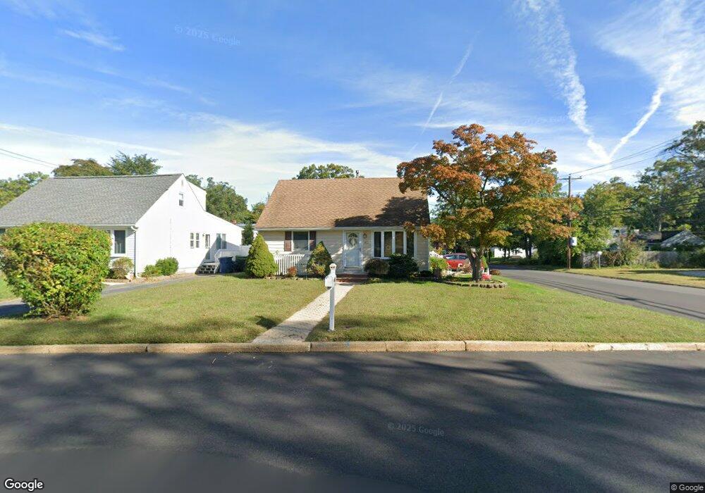
401 Durand Rd Neptune, NJ 07753
Estimated Value: $484,000 - $668,000
3
Beds
2
Baths
1,423
Sq Ft
$419/Sq Ft
Est. Value
About This Home
This home is located at 401 Durand Rd, Neptune, NJ 07753 and is currently estimated at $596,787, approximately $419 per square foot. 401 Durand Rd is a home located in Monmouth County with nearby schools including Neptune High School.
Ownership History
Date
Name
Owned For
Owner Type
Purchase Details
Closed on
Jul 25, 2011
Sold by
Boeckman Ralph and Boeckman Cheryl
Bought by
Henderson Jennifer
Current Estimated Value
Home Financials for this Owner
Home Financials are based on the most recent Mortgage that was taken out on this home.
Original Mortgage
$233,158
Outstanding Balance
$158,736
Interest Rate
4.52%
Mortgage Type
FHA
Estimated Equity
$438,051
Purchase Details
Closed on
Feb 16, 2001
Sold by
Fredrick Santi
Bought by
Boeckman Ralph and Poulos Cheryl
Home Financials for this Owner
Home Financials are based on the most recent Mortgage that was taken out on this home.
Original Mortgage
$124,720
Interest Rate
7.15%
Purchase Details
Closed on
May 1, 1998
Sold by
Wood Robert
Bought by
Frederick Santi and Hope Santi
Home Financials for this Owner
Home Financials are based on the most recent Mortgage that was taken out on this home.
Original Mortgage
$128,000
Interest Rate
7.08%
Mortgage Type
FHA
Create a Home Valuation Report for This Property
The Home Valuation Report is an in-depth analysis detailing your home's value as well as a comparison with similar homes in the area
Home Values in the Area
Average Home Value in this Area
Purchase History
| Date | Buyer | Sale Price | Title Company |
|---|---|---|---|
| Henderson Jennifer | $243,000 | Red Bank Title Agency Inc | |
| Boeckman Ralph | $155,980 | -- | |
| Frederick Santi | $128,500 | -- |
Source: Public Records
Mortgage History
| Date | Status | Borrower | Loan Amount |
|---|---|---|---|
| Open | Henderson Jennifer | $233,158 | |
| Previous Owner | Boeckman Ralph | $124,720 | |
| Previous Owner | Frederick Santi | $128,000 |
Source: Public Records
Tax History
| Year | Tax Paid | Tax Assessment Tax Assessment Total Assessment is a certain percentage of the fair market value that is determined by local assessors to be the total taxable value of land and additions on the property. | Land | Improvement |
|---|---|---|---|---|
| 2025 | $8,653 | $503,700 | $300,300 | $203,400 |
| 2024 | $7,899 | $494,200 | $294,500 | $199,700 |
| 2023 | $7,899 | $437,400 | $242,400 | $195,000 |
| 2022 | $6,764 | $393,600 | $205,600 | $188,000 |
| 2021 | $6,764 | $320,100 | $220,500 | $99,600 |
| 2020 | $6,483 | $306,100 | $211,800 | $94,300 |
| 2019 | $6,242 | $291,000 | $202,500 | $88,500 |
| 2018 | $5,772 | $266,000 | $178,200 | $87,800 |
| 2017 | $5,733 | $253,800 | $172,500 | $81,300 |
| 2016 | $5,715 | $252,300 | $165,000 | $87,300 |
| 2015 | $5,238 | $235,200 | $150,000 | $85,200 |
| 2014 | $4,551 | $168,000 | $100,000 | $68,000 |
Source: Public Records
Map
Nearby Homes
- 324 Hillside Dr
- 122 Durand Rd
- 5 Oliver Dr
- 1 Oak Dr
- 439 Prospect Ave
- 2 Park Place
- 216 Maple Ave
- 210 Cotter Ave
- 303 Highland Ave
- 5 Hogans Way
- 12 Tucker Dr
- 200 Melrose Ave
- 203 Neptune Blvd S
- 21 Cliffwood Dr
- 1844 Alberta Ave
- 78 Neptune Ave
- 1700 6th Ave
- 107 Riverview Ave Unit 113B
- 102 Hawthorne Ave
- 109 Milford Rd
Your Personal Tour Guide
Ask me questions while you tour the home.