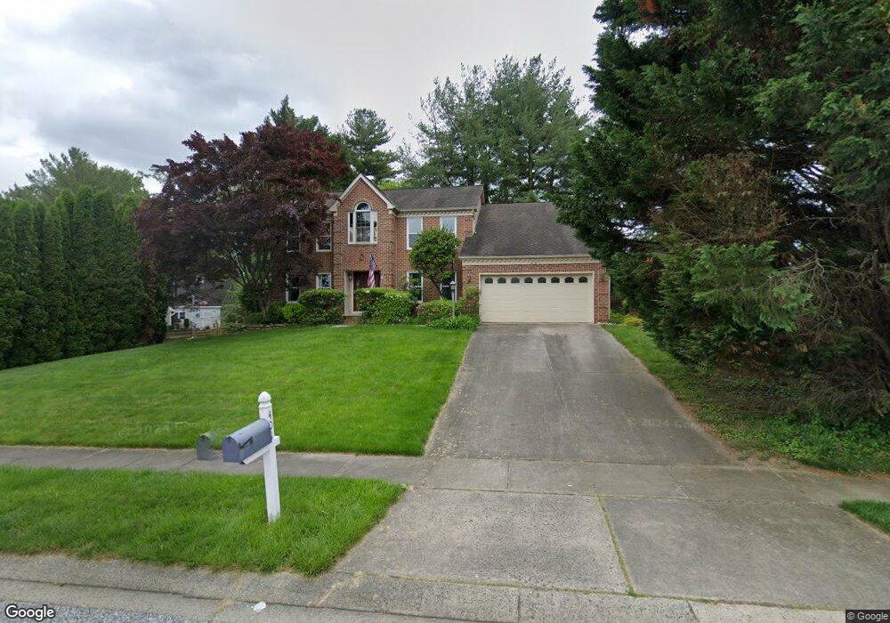
401 E Ring Factory Rd Bel Air, MD 21014
Estimated Value: $568,000 - $703,000
Studio
3
Baths
2,994
Sq Ft
$205/Sq Ft
Est. Value
About This Home
This home is located at 401 E Ring Factory Rd, Bel Air, MD 21014 and is currently estimated at $613,822, approximately $205 per square foot. 401 E Ring Factory Rd is a home located in Harford County with nearby schools including Homestead-Wakefield Elementary School, Bel Air Middle School, and Bel Air High School.
Ownership History
Date
Name
Owned For
Owner Type
Purchase Details
Closed on
May 9, 1989
Sold by
Ryland Group Inc The
Bought by
Rettberg William T
Current Estimated Value
Home Financials for this Owner
Home Financials are based on the most recent Mortgage that was taken out on this home.
Original Mortgage
$164,600
Interest Rate
10.97%
Purchase Details
Closed on
Feb 10, 1989
Sold by
Bel Air Land Development Iv
Bought by
Ryland Group Inc The
Create a Home Valuation Report for This Property
The Home Valuation Report is an in-depth analysis detailing your home's value as well as a comparison with similar homes in the area
Home Values in the Area
Average Home Value in this Area
Purchase History
| Date | Buyer | Sale Price | Title Company |
|---|---|---|---|
| Rettberg William T | $219,500 | -- | |
| Ryland Group Inc The | $38,000 | -- |
Source: Public Records
Mortgage History
| Date | Status | Borrower | Loan Amount |
|---|---|---|---|
| Closed | Rettberg William T | $164,600 |
Source: Public Records
Tax History
| Year | Tax Paid | Tax Assessment Tax Assessment Total Assessment is a certain percentage of the fair market value that is determined by local assessors to be the total taxable value of land and additions on the property. | Land | Improvement |
|---|---|---|---|---|
| 2025 | $4,411 | $513,700 | $118,900 | $394,800 |
| 2024 | $4,411 | $493,267 | $0 | $0 |
| 2023 | $5,153 | $472,833 | $0 | $0 |
| 2022 | $2,456 | $452,400 | $118,900 | $333,500 |
| 2021 | $4,717 | $431,300 | $0 | $0 |
| 2020 | $4,717 | $410,200 | $0 | $0 |
| 2019 | $4,490 | $389,100 | $121,700 | $267,400 |
| 2018 | $4,411 | $385,700 | $0 | $0 |
| 2017 | $4,372 | $389,100 | $0 | $0 |
| 2016 | -- | $378,900 | $0 | $0 |
| 2015 | $4,304 | $376,000 | $0 | $0 |
| 2014 | $4,304 | $373,100 | $0 | $0 |
Source: Public Records
Map
Nearby Homes
- 102 Brandywine Place
- 1411 Valley Stream Rd
- 703 Claridge Ct
- 1202 Vermont Rd
- 926 Cheswold Ct
- 901 Macphail Woods Crossing Unit 3A
- 902 Macphail Woods Crossing Unit 2D
- 902 Macphail Woods Crossing Unit 3E
- 201 Victory Ln
- 520 Woodbury Way
- 707 Linwood Ave
- 3 Glenwood Place
- 1312 Scottsdale Dr Unit Q
- 1314 Scottsdale Dr Unit G
- 1613 Rolling Rd
- 1611 Lynndale Ct
- 804 Briergreen Ct
- 1603 Martha Ct Unit 101
- 1308 Scottsdale Dr Unit H
- 1309 Sheridan Place Unit 99
- 111 Brandywine Place
- 110 Brandywine Place
- 403 E Ring Factory Rd
- 406 E Ring Factory Rd
- 404 E Ring Factory Rd
- 408 E Ring Factory Rd
- 108 Brandywine Place
- 402 E Ring Factory Rd
- 405 E Ring Factory Rd
- 399 E Ring Factory Rd
- 410 E Ring Factory Rd
- 109 Brandywine Place
- 400 E Ring Factory Rd
- 106 Brandywine Place
- 107 Brandywine Place
- 105 Brandywine Place
- 412 E Ring Factory Rd
- 407 E Ring Factory Rd
- 803 N Pine Ridge Ct
- 805 N Pine Ridge Ct
Your Personal Tour Guide
Ask me questions while you tour the home.