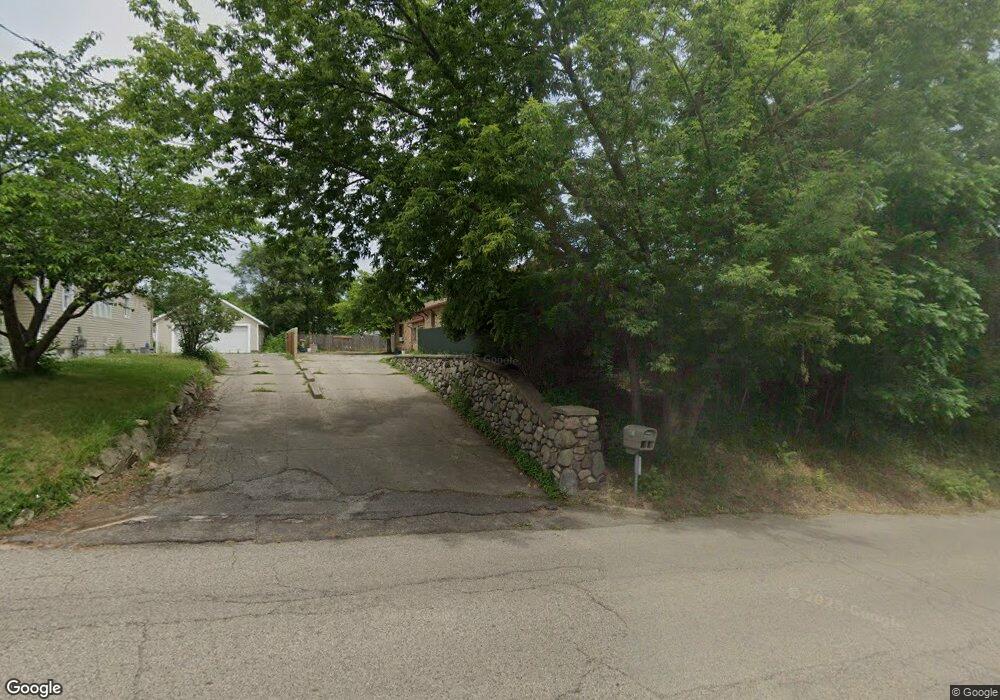
401 Ferris St NW Grand Rapids, MI 49544
Estimated Value: $314,000 - $358,000
3
Beds
3
Baths
1,920
Sq Ft
$179/Sq Ft
Est. Value
About This Home
This home is located at 401 Ferris St NW, Grand Rapids, MI 49544 and is currently estimated at $343,464, approximately $178 per square foot. 401 Ferris St NW is a home located in Kent County with nearby schools including Kenowa Hills Central Elementary School, Kenowa Hills Middle School, and Kenowa Hills High School.
Ownership History
Date
Name
Owned For
Owner Type
Purchase Details
Closed on
Feb 16, 2007
Sold by
Woodward Beryl
Bought by
Shustha Daniel and Shustha Lori B
Current Estimated Value
Home Financials for this Owner
Home Financials are based on the most recent Mortgage that was taken out on this home.
Original Mortgage
$154,850
Outstanding Balance
$110,001
Interest Rate
9.82%
Mortgage Type
Balloon
Estimated Equity
$233,463
Create a Home Valuation Report for This Property
The Home Valuation Report is an in-depth analysis detailing your home's value as well as a comparison with similar homes in the area
Home Values in the Area
Average Home Value in this Area
Purchase History
| Date | Buyer | Sale Price | Title Company |
|---|---|---|---|
| Shustha Daniel | -- | Nations Title |
Source: Public Records
Mortgage History
| Date | Status | Borrower | Loan Amount |
|---|---|---|---|
| Open | Shustha Daniel | $154,850 |
Source: Public Records
Tax History Compared to Growth
Tax History
| Year | Tax Paid | Tax Assessment Tax Assessment Total Assessment is a certain percentage of the fair market value that is determined by local assessors to be the total taxable value of land and additions on the property. | Land | Improvement |
|---|---|---|---|---|
| 2025 | $1,993 | $166,700 | $0 | $0 |
| 2024 | $1,993 | $137,000 | $0 | $0 |
| 2023 | $1,860 | $116,200 | $0 | $0 |
| 2022 | $2,001 | $108,300 | $0 | $0 |
| 2021 | $1,950 | $99,100 | $0 | $0 |
| 2020 | $1,712 | $94,200 | $0 | $0 |
| 2019 | $3,307 | $87,300 | $0 | $0 |
| 2018 | $1,851 | $82,000 | $0 | $0 |
| 2017 | $1,799 | $77,900 | $0 | $0 |
| 2016 | $1,729 | $77,500 | $0 | $0 |
| 2015 | $1,678 | $77,500 | $0 | $0 |
| 2013 | -- | $67,200 | $0 | $0 |
Source: Public Records
Map
Nearby Homes
- 2222 Hoyle Ave NW
- 825 Roger St NW
- 947 Roger St NW
- 3343 Springbrook Dr NW
- 2723 Oakwood Ave NE
- 2765 Oakwood Ave NE
- 132 Graceland St NE
- 2630 Oakwood Ave NE
- 114 Knapp St NE
- 1152 Birdie Dr NW Unit 55
- 1922 Coit Ave NE
- 143 Dean St NE
- 120 Dean St NE
- 321 Knapp St NE
- 30 Palmer St NW
- 2471 Union Ave NE
- 2919 Botsford Ave NE
- 15 Palmer St NE
- 536 Wright St NE
- 2818 Edgewood Ave NE
- 2725 Hillside Dr NW
- 405 Ferris St NW
- 512 Lankamp St NW
- 407 Ferris St NW
- 518 Lankamp St NW
- 460 Lankamp St NW
- 2675 Hillside Dr NW
- 526 Lankamp St NW
- 409 Ferris St NW
- 535 Ferris St NW
- 530 Lankamp St NW
- 511 Lankamp St NW
- 507 Lankamp St NW
- 517 Lankamp St NW
- 410 Ferris St NW
- 523 Lankamp St NW
- 541 Ferris St NW
- 538 Lankamp St NW
- 529 Lankamp St NW
- 2645 Hillside Dr NW