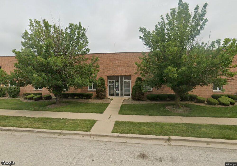
401 Frontier Way Unit 51 Bensenville, IL 60106
Estimated Value: $3,579,658
--
Bed
--
Bath
--
Sq Ft
0.98
Acres
About This Home
This home is located at 401 Frontier Way Unit 51, Bensenville, IL 60106 and is currently estimated at $3,579,658. 401 Frontier Way Unit 51 is a home located in DuPage County with nearby schools including W.A. Johnson School, Blackhawk Middle School, and Fenton High School.
Ownership History
Date
Name
Owned For
Owner Type
Purchase Details
Closed on
Mar 30, 2012
Sold by
Homola Ronald S and Homola Marjorie J
Bought by
Homola Family Llc
Current Estimated Value
Purchase Details
Closed on
Nov 24, 1995
Sold by
Midwest Trust Services Inc
Bought by
Homola Ronald S and Homola Marjorie J
Home Financials for this Owner
Home Financials are based on the most recent Mortgage that was taken out on this home.
Original Mortgage
$445,000
Interest Rate
7.52%
Mortgage Type
Commercial
Create a Home Valuation Report for This Property
The Home Valuation Report is an in-depth analysis detailing your home's value as well as a comparison with similar homes in the area
Home Values in the Area
Average Home Value in this Area
Purchase History
| Date | Buyer | Sale Price | Title Company |
|---|---|---|---|
| Homola Family Llc | -- | None Available | |
| Homola Ronald S | $890,000 | -- |
Source: Public Records
Mortgage History
| Date | Status | Borrower | Loan Amount |
|---|---|---|---|
| Closed | Homola Ronald S | $445,000 | |
| Closed | Homola Ronald S | $356,000 |
Source: Public Records
Tax History Compared to Growth
Tax History
| Year | Tax Paid | Tax Assessment Tax Assessment Total Assessment is a certain percentage of the fair market value that is determined by local assessors to be the total taxable value of land and additions on the property. | Land | Improvement |
|---|---|---|---|---|
| 2024 | $36,251 | $416,930 | $204,126 | $212,804 |
| 2023 | $34,545 | $383,280 | $187,650 | $195,630 |
| 2022 | $33,206 | $365,030 | $176,030 | $189,000 |
| 2021 | $31,580 | $349,650 | $168,610 | $181,040 |
| 2020 | $32,063 | $349,650 | $161,500 | $188,150 |
| 2019 | $31,526 | $349,650 | $155,290 | $194,360 |
| 2018 | $30,549 | $333,000 | $147,190 | $185,810 |
| 2017 | $30,130 | $323,300 | $140,680 | $182,620 |
| 2016 | $31,556 | $323,300 | $129,890 | $193,410 |
| 2015 | $31,503 | $305,000 | $119,990 | $185,010 |
| 2014 | $28,161 | $270,430 | $119,990 | $150,440 |
| 2013 | $27,854 | $275,950 | $122,440 | $153,510 |
Source: Public Records
Map
Nearby Homes
- 1217 Itasca St
- 1457 Blackhawk Ct Unit 1
- 17W508 Hawthorne Ave
- 436 W Touhy Ave Unit 284
- 7500 Elmhurst Rd Lot 14 Rd NE
- 320 Marshall Rd
- 318 Marshall Rd
- 1003 W Hillside Dr
- 580 Walnut Ln
- 1141 Hartford Ln
- 247 N Church Rd
- 943 Maple Ln
- 991 Cedar Ln
- 259 Pine Ln
- 1060 Warwick Ln
- 214 N Walnut St Unit B
- 214 N Walnut St
- 309 N Edgewood Ave
- 1533 Executive Way
- 367 Catalpa Ave
- 328 Frontier Way Unit 1B
- 300 Frontier Way
- 2600 United Ln
- 151 Eastern Ave Unit 1
- 101 Eastern Ave
- 2501 United Ln
- 2671 United Ln
- 2271 E Devon Ave
- 2279 E Devon Ave
- 2281 E Devon Ave
- 2283 E Devon Ave
- 2289 E Devon Ave
- 2400 American Ln
- 2353 E Devon Ave
- 2357 E Devon Ave
- 2001 E Devon Ave
- 2625 American Ln Unit C
- 2625 American Ln
- 2340 Brickvale Dr
- 2675 American Ln