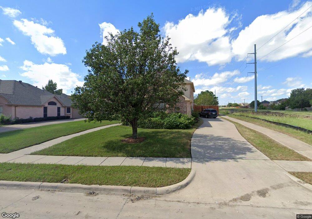
401 Hawthorne Dr Murphy, TX 75094
Estimated Value: $553,000 - $595,000
4
Beds
4
Baths
3,511
Sq Ft
$162/Sq Ft
Est. Value
About This Home
This home is located at 401 Hawthorne Dr, Murphy, TX 75094 and is currently estimated at $569,423, approximately $162 per square foot. 401 Hawthorne Dr is a home located in Collin County with nearby schools including Miller Elementary School, Murphy Middle School, and C A Mcmillen High School.
Ownership History
Date
Name
Owned For
Owner Type
Purchase Details
Closed on
Feb 3, 2004
Sold by
Awadelkariem Husham and Awadelkariem Mona
Bought by
Bank One Na
Current Estimated Value
Purchase Details
Closed on
Aug 9, 1999
Sold by
Us Home Corp
Bought by
Awadelkariem Husham
Home Financials for this Owner
Home Financials are based on the most recent Mortgage that was taken out on this home.
Original Mortgage
$165,708
Interest Rate
10.7%
Create a Home Valuation Report for This Property
The Home Valuation Report is an in-depth analysis detailing your home's value as well as a comparison with similar homes in the area
Home Values in the Area
Average Home Value in this Area
Purchase History
| Date | Buyer | Sale Price | Title Company |
|---|---|---|---|
| Bank One Na | $198,000 | -- | |
| Awadelkariem Husham | -- | -- |
Source: Public Records
Mortgage History
| Date | Status | Borrower | Loan Amount |
|---|---|---|---|
| Previous Owner | Awadelkariem Husham | $165,708 | |
| Closed | Awadelkariem Husham | $9,748 |
Source: Public Records
Tax History
| Year | Tax Paid | Tax Assessment Tax Assessment Total Assessment is a certain percentage of the fair market value that is determined by local assessors to be the total taxable value of land and additions on the property. | Land | Improvement |
|---|---|---|---|---|
| 2025 | $4,823 | $528,325 | $109,250 | $453,126 |
| 2024 | $4,823 | $480,295 | $109,250 | $462,172 |
| 2023 | $4,823 | $436,632 | $109,250 | $408,043 |
| 2022 | $7,774 | $396,938 | $95,000 | $359,494 |
| 2021 | $7,452 | $360,853 | $76,000 | $284,853 |
| 2020 | $7,546 | $361,290 | $66,500 | $294,790 |
| 2019 | $7,995 | $364,907 | $66,500 | $298,407 |
| 2018 | $7,920 | $358,197 | $66,500 | $296,146 |
| 2017 | $7,200 | $325,634 | $66,500 | $259,134 |
| 2016 | $7,147 | $319,256 | $57,000 | $262,256 |
| 2015 | $5,729 | $280,853 | $42,750 | $238,103 |
| 2014 | $5,729 | $247,463 | $0 | $0 |
Source: Public Records
Map
Nearby Homes
- 202 Sweetgum Dr
- 316 Mimosa Dr
- 300 Shady Timbers Ln
- 428 Rainforest Ct
- 524 Jasmine Dr
- 308 Rolling Oak Dr
- 3807 Farmington Dr
- 101 Hawthorne Dr
- 465 Kinney Dr
- 5811 Abingdon Dr
- 110 Birch Blvd
- 5421 Palace Dr
- 155 Sunset Dr
- 5924 Mulvane Dr
- 402 S Maxwell Creek Rd
- 600 E Fm 544
- 322 Willow Wood St
- 342 Willow Wood St
- 356 Willow Wood St
- 505 Horizon Ct
- 405 Hawthorne Dr
- 404 Willow Bend Dr
- 409 Hawthorne Dr
- 151 Post Crest Dr
- 408 Willow Bend Dr
- 413 Hawthorne Dr
- 333 Hawthorne Dr
- 412 Willow Bend Dr
- 241 Mimosa Dr
- 147 Post Crest Dr
- 417 Hawthorne Dr
- 220 Peach Tree Dr
- 416 Willow Bend Dr
- 334 Heatherbrook Dr
- 409 Willow Bend Dr
- 329 Hawthorne Dr
- 143 Post Crest Dr
- 245 Mimosa Dr
- 210 Glenwood Dr
- 224 Peach Tree Dr
Your Personal Tour Guide
Ask me questions while you tour the home.