401 Hoover Rd Barryton, MI 49305
Estimated Value: $140,000 - $241,000
--
Bed
--
Bath
--
Sq Ft
40
Acres
About This Home
This home is located at 401 Hoover Rd, Barryton, MI 49305 and is currently estimated at $204,797. 401 Hoover Rd is a home with nearby schools including Chippewa Hills High School.
Ownership History
Date
Name
Owned For
Owner Type
Purchase Details
Closed on
Feb 17, 2024
Sold by
Osborne Anthony James and Cody Laine
Current Estimated Value
Purchase Details
Closed on
Jan 19, 2024
Sold by
Nael Famly Trust and Leirstein Revocable Trust
Bought by
Osborne Anthony James and Osborne Cody Laine
Purchase Details
Closed on
Jul 2, 2021
Sold by
Lerstein Gary D
Bought by
Leirstein Gary D and Leirstein Terri L
Purchase Details
Closed on
Jul 19, 2018
Sold by
Bullard Doris I and Bullard Doris
Bought by
Wilson Chester and Leftwich Kenneth
Purchase Details
Closed on
Feb 23, 2017
Sold by
Nael Patrick S and Nael Sabrina R
Bought by
Nael Patrick S and Nael Sabrina R
Create a Home Valuation Report for This Property
The Home Valuation Report is an in-depth analysis detailing your home's value as well as a comparison with similar homes in the area
Home Values in the Area
Average Home Value in this Area
Purchase History
| Date | Buyer | Sale Price | Title Company |
|---|---|---|---|
| -- | -- | None Listed On Document | |
| -- | -- | None Listed On Document | |
| Osborne Anthony James | $345,000 | None Listed On Document | |
| Osborne Anthony James | $345,000 | None Listed On Document | |
| Leirstein Gary D | -- | -- | |
| Wilson Chester | $100,000 | Ata National Title Group Llc | |
| Nael Patrick S | -- | Attorney |
Source: Public Records
Tax History Compared to Growth
Tax History
| Year | Tax Paid | Tax Assessment Tax Assessment Total Assessment is a certain percentage of the fair market value that is determined by local assessors to be the total taxable value of land and additions on the property. | Land | Improvement |
|---|---|---|---|---|
| 2025 | $2,161 | $87,600 | $0 | $0 |
| 2024 | -- | $75,200 | $0 | $0 |
| 2023 | -- | $67,500 | $0 | $0 |
| 2022 | $0 | $62,800 | $0 | $0 |
| 2021 | -- | $58,600 | $0 | $0 |
| 2020 | -- | -- | $0 | $0 |
| 2019 | -- | -- | $0 | $0 |
| 2018 | -- | -- | $0 | $0 |
| 2017 | -- | -- | $0 | $0 |
| 2016 | -- | -- | $0 | $0 |
| 2014 | -- | -- | $0 | $0 |
| 2013 | -- | -- | $0 | $0 |
Source: Public Records
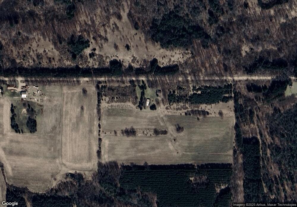
Map
Nearby Homes
- 2665 22 Mile Rd
- 3250 17 Mile Rd
- 10250 W Herrick Rd
- 18862 Oxbow Dr
- 3085 Oak Rd
- 18678 10th Ave
- 18586 Beaver Rd
- 121 Haddix Blvd
- 175 S Hudnut St
- 145 S Hudnut St
- 321 N Norman St
- 20213 30th Ave
- 1862 19 Mile Rd
- 23390 Bluegill Rd
- 19150 35th Ave
- 18500 35th Ave
- 3249 Evergreen Rd
- 264 30th Ave
- 18593 30th Ave
- 396 S 30th Ave
- 147 Hoover Rd
- 00 Hoover Rd
- 9412 W County Line Rd
- 645 22 Mile Rd
- 645 22 Mile Rd
- 505 22 Mile Rd
- 849 22 Mile Rd
- 305 22 Mile Rd
- 9347 W County Line Rd
- 9374 W County Line Rd
- 509 22 Mile Rd
- 596 21 Mile Rd
- 21177 10th Ave
- 21213 10th Ave
- 9670 W County Line Rd
- 9670 W County Line Rd
- 22 Mile Rd
- 265 21 Mile Rd
- 48 21 Mile Rd
- 100 21 Mile Rd