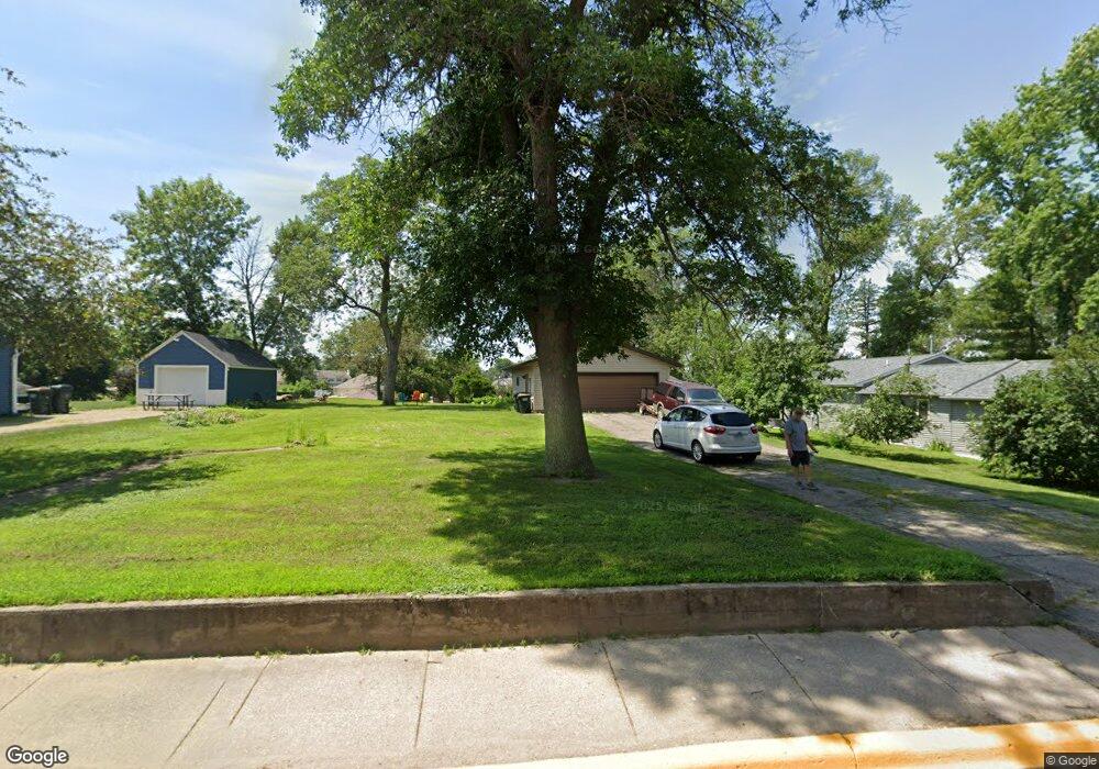
401 N 1st St Elysian, MN 56028
Estimated Value: $73,000 - $287,000
3
Beds
1
Bath
1,132
Sq Ft
$136/Sq Ft
Est. Value
About This Home
This home is located at 401 N 1st St, Elysian, MN 56028 and is currently estimated at $153,939, approximately $135 per square foot. 401 N 1st St is a home located in Le Sueur County with nearby schools including Waterville Elementary School, Morristown Elementary School, and Waterville-Elysian-Morristown Junior High School.
Ownership History
Date
Name
Owned For
Owner Type
Purchase Details
Closed on
Nov 30, 2022
Sold by
Harnish Michael and Harnish Lavonne
Bought by
Guetzlaff Alexis and Guetzlaff Aaron
Current Estimated Value
Home Financials for this Owner
Home Financials are based on the most recent Mortgage that was taken out on this home.
Original Mortgage
$71,250
Outstanding Balance
$69,112
Interest Rate
6.95%
Mortgage Type
New Conventional
Estimated Equity
$84,827
Create a Home Valuation Report for This Property
The Home Valuation Report is an in-depth analysis detailing your home's value as well as a comparison with similar homes in the area
Purchase History
| Date | Buyer | Sale Price | Title Company |
|---|---|---|---|
| Guetzlaff Alexis | $95,000 | -- |
Source: Public Records
Mortgage History
| Date | Status | Borrower | Loan Amount |
|---|---|---|---|
| Open | Guetzlaff Alexis | $71,250 |
Source: Public Records
Tax History
| Year | Tax Paid | Tax Assessment Tax Assessment Total Assessment is a certain percentage of the fair market value that is determined by local assessors to be the total taxable value of land and additions on the property. | Land | Improvement |
|---|---|---|---|---|
| 2025 | $846 | $61,200 | $44,900 | $16,300 |
| 2024 | $1,196 | $61,200 | $44,900 | $16,300 |
| 2023 | $2,178 | $180,200 | $46,900 | $133,300 |
| 2022 | $1,968 | $177,900 | $46,900 | $131,000 |
| 2021 | $2,800 | $139,200 | $41,900 | $97,300 |
| 2020 | $2,494 | $136,700 | $40,300 | $96,400 |
| 2019 | $2,106 | $111,800 | $32,959 | $78,841 |
| 2018 | $1,971 | $111,800 | $32,959 | $78,841 |
| 2017 | $1,500 | $95,100 | $30,003 | $65,097 |
| 2016 | $1,514 | $93,000 | $29,807 | $63,193 |
| 2015 | $1,499 | $95,000 | $29,996 | $65,004 |
| 2014 | $1,385 | $99,100 | $30,340 | $68,760 |
| 2013 | $1,324 | $90,800 | $29,597 | $61,203 |
Source: Public Records
Map
Nearby Homes
- 13 Egret Ln
- 220 SW Maple Ave
- xx Lewis Ln
- 0 SW Maple Ave
- xxxxxx Lewis Ln
- -XX Jason Dr
- 0 Xx Lewis Ln Unit 7025397
- 0 Xx Lewis Ln Unit 7025381
- 101 Shoreview Dr
- 14 Silver's Resort
- 2 Marie Cir
- 125 Willow Point Dr
- 1642 Scenic Hideaway Ln NE
- 11 Cedar Point Dr NW
- 49335 Sportsmans Ln
- 49279 Sportsmans Ln
- 49189 Sportsmans Ln
- 49097 Sportsmans Ln
- 48901 N Shore Rd
- 48937 N Shore Rd
- 23122 300 St Andrews Drive Suite 11 Ln
- 309 1st St N
- 309 1st St N
- 405 N 1st St
- 403 N 1st St
- 307 N 1st St
- 305 N 1st St
- 100 NE Lake Ave
- 105 NE Lake Ave
- 406 N 1st St
- 100 Frank Ave NE
- TBD-Lot 8 S Tustin Cir
- 104 NE Lake Ave
- TBD-Lot 12 S Tustin Cir
- TBD- Lot 11 S Tustin Cir
- 104 Frank Ave NE
- 306 Frank Cir N
- 408 N 1st St
- 103 NW Frank Ave
- 203 N 1st St
Your Personal Tour Guide
Ask me questions while you tour the home.