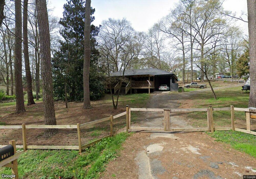
401 N 2nd St La Fayette, GA 30728
Estimated Value: $226,300 - $280,000
3
Beds
2
Baths
1,604
Sq Ft
$151/Sq Ft
Est. Value
About This Home
This home is located at 401 N 2nd St, La Fayette, GA 30728 and is currently estimated at $242,325, approximately $151 per square foot. 401 N 2nd St is a home located in Walker County with nearby schools including North Lafayette Elementary School, Lafayette Middle School, and Lafayette High School.
Ownership History
Date
Name
Owned For
Owner Type
Purchase Details
Closed on
Mar 8, 2008
Sold by
Not Provided
Bought by
Rodgers Nichole R
Current Estimated Value
Home Financials for this Owner
Home Financials are based on the most recent Mortgage that was taken out on this home.
Original Mortgage
$104,362
Outstanding Balance
$64,596
Interest Rate
5.62%
Mortgage Type
FHA
Estimated Equity
$177,729
Purchase Details
Closed on
Oct 25, 1989
Sold by
Martyn Boxall J
Bought by
Boxall Brent E and Boxall Anita D
Purchase Details
Closed on
Jan 1, 1972
Bought by
Martyn Boxall J
Create a Home Valuation Report for This Property
The Home Valuation Report is an in-depth analysis detailing your home's value as well as a comparison with similar homes in the area
Home Values in the Area
Average Home Value in this Area
Purchase History
| Date | Buyer | Sale Price | Title Company |
|---|---|---|---|
| Rodgers Nichole R | $106,500 | -- | |
| Boxall Brent E | -- | -- | |
| Martyn Boxall J | -- | -- |
Source: Public Records
Mortgage History
| Date | Status | Borrower | Loan Amount |
|---|---|---|---|
| Open | Rodgers Nichole R | $104,362 |
Source: Public Records
Tax History Compared to Growth
Tax History
| Year | Tax Paid | Tax Assessment Tax Assessment Total Assessment is a certain percentage of the fair market value that is determined by local assessors to be the total taxable value of land and additions on the property. | Land | Improvement |
|---|---|---|---|---|
| 2024 | $1,644 | $71,195 | $7,812 | $63,383 |
| 2023 | $1,618 | $68,085 | $7,812 | $60,273 |
| 2022 | $2,028 | $79,041 | $7,812 | $71,229 |
| 2021 | $1,868 | $65,596 | $7,440 | $58,156 |
| 2020 | $1,626 | $55,004 | $7,440 | $47,564 |
| 2019 | $1,192 | $40,815 | $7,440 | $33,375 |
| 2018 | $1,214 | $40,815 | $7,440 | $33,375 |
| 2017 | $1,298 | $40,815 | $7,440 | $33,375 |
| 2016 | $1,070 | $40,815 | $7,440 | $33,375 |
| 2015 | $1,110 | $40,360 | $8,240 | $32,120 |
| 2014 | $1,069 | $40,360 | $8,240 | $32,120 |
| 2013 | -- | $40,360 | $8,240 | $32,120 |
Source: Public Records
Map
Nearby Homes
- 0 Center St Unit 15 11492953
- 0 Center St Unit 16 11493665
- 0 Center St Unit 1517720
- 13 Steele St N
- 307 Park St
- 3 Fortune St
- 0 Fortune St Unit 1520483
- 1 & 3 N High St
- 113 Ann St
- 212 S High St
- 302 Brookwood Ln
- 204 S High St
- 21058 Georgia 193
- 0 Walnut St Unit 1522902
- 107 Dogwood Cir
- 806 N Main St
- 0 Farris St Unit 1512317
- 0 Farris St
- 0 Probasco St N Unit 1503555
- 0 N Chattanooga St