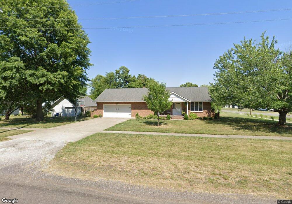
401 N Locust St Appleton City, MO 64724
Estimated Value: $117,000 - $198,000
Studio
--
Bath
1,448
Sq Ft
$106/Sq Ft
Est. Value
About This Home
This home is located at 401 N Locust St, Appleton City, MO 64724 and is currently estimated at $153,776, approximately $106 per square foot. 401 N Locust St is a home with nearby schools including Appleton City Elementary School and Appleton City High School.
Ownership History
Date
Name
Owned For
Owner Type
Purchase Details
Closed on
Jan 22, 2021
Sold by
Rotert Robert Francis and Rotert Susan Marie
Bought by
Strope Amber
Current Estimated Value
Home Financials for this Owner
Home Financials are based on the most recent Mortgage that was taken out on this home.
Original Mortgage
$92,000
Interest Rate
2.65%
Mortgage Type
Future Advance Clause Open End Mortgage
Purchase Details
Closed on
May 20, 2013
Sold by
Rotert Robert F and Rotert Susan M
Bought by
Rotert Robert Francis and Rotert Susan Marie
Create a Home Valuation Report for This Property
The Home Valuation Report is an in-depth analysis detailing your home's value as well as a comparison with similar homes in the area
Purchase History
| Date | Buyer | Sale Price | Title Company |
|---|---|---|---|
| Strope Amber | -- | None Available | |
| Rotert Robert Francis | -- | None Available |
Source: Public Records
Mortgage History
| Date | Status | Borrower | Loan Amount |
|---|---|---|---|
| Closed | Strope Amber | $92,000 |
Source: Public Records
Tax History
| Year | Tax Paid | Tax Assessment Tax Assessment Total Assessment is a certain percentage of the fair market value that is determined by local assessors to be the total taxable value of land and additions on the property. | Land | Improvement |
|---|---|---|---|---|
| 2025 | -- | $18,600 | $0 | $0 |
| 2024 | -- | $18,600 | $0 | $0 |
| 2023 | $0 | $18,600 | $0 | $0 |
| 2022 | $1,311 | $18,600 | $0 | $0 |
| 2021 | $1,313 | $18,600 | $0 | $0 |
| 2020 | $1,195 | $18,100 | $0 | $0 |
| 2019 | $1,188 | $18,100 | $0 | $0 |
| 2018 | $1,188 | $18,100 | $0 | $0 |
| 2017 | $1,193 | $18,100 | $0 | $0 |
| 2016 | $1,179 | $18,100 | $0 | $0 |
| 2015 | $930 | $18,100 | $0 | $0 |
| 2014 | -- | $17,700 | $0 | $0 |
| 2013 | -- | $17,700 | $0 | $0 |
Source: Public Records
Map
Nearby Homes
- 201 E 1st St
- 311 E Dover St
- 400 Sunset Dr
- 407 W Miller St
- 409 W Miller St
- 5574 SE State Route P
- 0 NW 630 Rd
- NW 400 Rd
- 0000 NW 630 Rd
- 10010 NW 400 Rd Unit 10010 NW 400th Road
- 10010 NW 400 Rd
- Hh Hwy
- 000 SW 600 Rd
- 0 SW 600 Rd
- 208 N Jefferson St
- 0 F Hwy Unit HMS2435368
- TBD NE County Road 10003
- 000 Old River Rd
- Off Old River Rd
- 18 acres NW 576
Your Personal Tour Guide
Ask me questions while you tour the home.